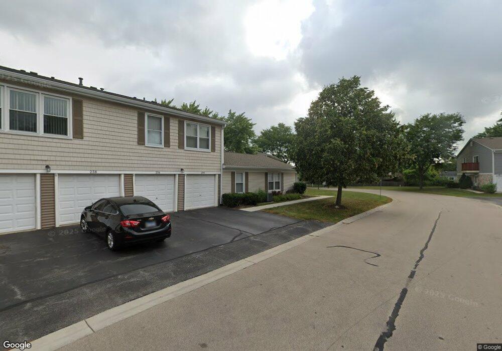
258 Nantucket Harbor Unit 170 Schaumburg, IL 60193
South Schaumburg NeighborhoodEstimated Value: $240,860 - $272,000
2
Beds
--
Bath
1,000
Sq Ft
$260/Sq Ft
Est. Value
About This Home
This home is located at 258 Nantucket Harbor Unit 170, Schaumburg, IL 60193 and is currently estimated at $259,715, approximately $259 per square foot. 258 Nantucket Harbor Unit 170 is a home located in Cook County with nearby schools including Michael Collins Elementary School, Robert Frost Junior High School, and J B Conant High School.
Ownership History
Date
Name
Owned For
Owner Type
Purchase Details
Closed on
Aug 2, 1994
Sold by
Grae Fred J and Grae Donna M
Bought by
Virta Elizabeth
Current Estimated Value
Home Financials for this Owner
Home Financials are based on the most recent Mortgage that was taken out on this home.
Original Mortgage
$64,500
Interest Rate
8.59%
Create a Home Valuation Report for This Property
The Home Valuation Report is an in-depth analysis detailing your home's value as well as a comparison with similar homes in the area
Home Values in the Area
Average Home Value in this Area
Purchase History
| Date | Buyer | Sale Price | Title Company |
|---|---|---|---|
| Virta Elizabeth | $84,500 | -- |
Source: Public Records
Mortgage History
| Date | Status | Borrower | Loan Amount |
|---|---|---|---|
| Closed | Virta Elizabeth | $64,500 |
Source: Public Records
Tax History Compared to Growth
Tax History
| Year | Tax Paid | Tax Assessment Tax Assessment Total Assessment is a certain percentage of the fair market value that is determined by local assessors to be the total taxable value of land and additions on the property. | Land | Improvement |
|---|---|---|---|---|
| 2024 | $3,438 | $15,590 | $646 | $14,944 |
| 2023 | $3,306 | $15,590 | $646 | $14,944 |
| 2022 | $3,306 | $15,590 | $646 | $14,944 |
| 2021 | $3,196 | $13,874 | $352 | $13,522 |
| 2020 | $3,209 | $13,874 | $352 | $13,522 |
| 2019 | $3,213 | $15,416 | $352 | $15,064 |
| 2018 | $2,253 | $10,944 | $293 | $10,651 |
| 2017 | $2,236 | $10,944 | $293 | $10,651 |
| 2016 | $2,333 | $10,944 | $293 | $10,651 |
| 2015 | $2,010 | $9,341 | $264 | $9,077 |
| 2014 | $2,004 | $9,341 | $264 | $9,077 |
| 2013 | $1,935 | $9,341 | $264 | $9,077 |
Source: Public Records
Map
Nearby Homes
- 286 Nantucket Harbor Unit 601
- 1205 Laurel Ln
- 1078 Newport Harbor Unit 6101
- 1100 Boston Harbor Unit 7004
- 421 E Wise Rd
- 1323 S Roselle Rd
- 1420 Indian Hill Dr
- 13 W Monterey Ave
- 620 S Point Dr
- 731 Highpoint Ct
- 211 Steeple Bush Ln Unit 10343
- 205 Steeple Bush Ln Unit 10444
- 717 Tipperary Ct Unit 1C
- 134 Lunt Ave
- 733 Limerick Ln Unit 7333D
- 727 Killarney Ct Unit 2D
- 712 Tipperary Ct Unit 1C
- 711 Tipperary Ct Unit 2D
- 1531 Marion St
- 1630 Myrtle Park St
- 252 Nantucket Harbor Unit 170
- 254 Nantucket Harbor Unit 170
- 256 Nantucket Harbor Unit 170
- 238 Nantucket Harbor Unit 180
- 240 Nantucket Harbor Unit 180
- 240 Nantucket Harbor Unit 240
- 265 Nantucket Harbor Unit 160
- 265 Nantucket Harbor Unit 265
- 265 Nantucket Harbor
- 242 Nantucket Harbor Unit 180
- 261 Nantucket Harbor Unit 160
- 261 Nantucket Harbor Unit 261
- 236 Nantucket Harbor Unit 180
- 263 Nantucket Harbor Unit 160
- 241 Nantucket Harbor Unit 302
- 245 Nantucket Harbor Unit 150
- 267 Nantucket Harbor Unit 160
- 251 Nantucket Harbor Unit 150
- 257 Nantucket Harbor Unit 403
- 257 Nantucket Harbor Unit 257