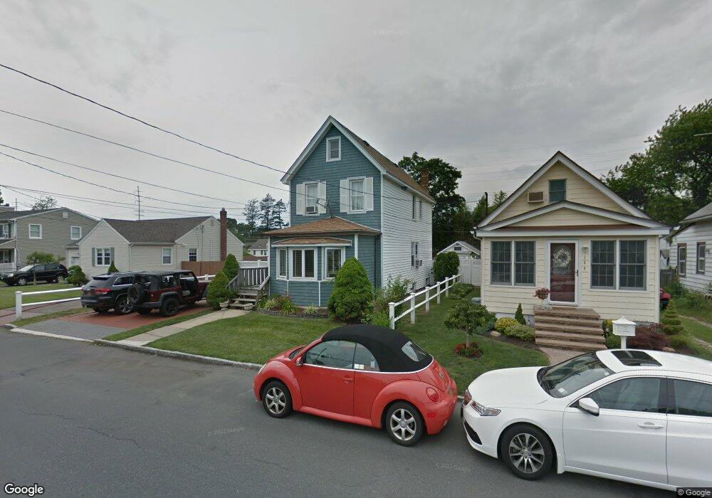
258 Nevada St Lindenhurst, NY 11757
Estimated Value: $500,350 - $768,000
--
Bed
--
Bath
1,624
Sq Ft
$408/Sq Ft
Est. Value
About This Home
This home is located at 258 Nevada St, Lindenhurst, NY 11757 and is currently estimated at $662,588, approximately $407 per square foot. 258 Nevada St is a home located in Suffolk County with nearby schools including Alleghany Avenue School, Lindenhurst Middle School, and Lindenhurst Senior High School.
Ownership History
Date
Name
Owned For
Owner Type
Purchase Details
Closed on
Mar 27, 2015
Sold by
Brink David L
Bought by
Brink David L and Brink Janica
Current Estimated Value
Home Financials for this Owner
Home Financials are based on the most recent Mortgage that was taken out on this home.
Original Mortgage
$216,750
Outstanding Balance
$77,910
Interest Rate
3.3%
Mortgage Type
FHA
Estimated Equity
$584,678
Purchase Details
Closed on
Sep 28, 2004
Purchase Details
Closed on
Mar 24, 2003
Sold by
Torone David and Tombuloglu Deniz
Bought by
Brink David L and Brink Deniz
Home Financials for this Owner
Home Financials are based on the most recent Mortgage that was taken out on this home.
Original Mortgage
$7,366
Interest Rate
5.45%
Mortgage Type
FHA
Create a Home Valuation Report for This Property
The Home Valuation Report is an in-depth analysis detailing your home's value as well as a comparison with similar homes in the area
Home Values in the Area
Average Home Value in this Area
Purchase History
| Date | Buyer | Sale Price | Title Company |
|---|---|---|---|
| Brink David L | -- | None Available | |
| -- | -- | -- | |
| Brink David L | -- | Chicago Title Insurance Co |
Source: Public Records
Mortgage History
| Date | Status | Borrower | Loan Amount |
|---|---|---|---|
| Open | Brink David L | $216,750 | |
| Previous Owner | Brink David L | $7,366 |
Source: Public Records
Tax History Compared to Growth
Tax History
| Year | Tax Paid | Tax Assessment Tax Assessment Total Assessment is a certain percentage of the fair market value that is determined by local assessors to be the total taxable value of land and additions on the property. | Land | Improvement |
|---|---|---|---|---|
| 2024 | $12,404 | $3,430 | $170 | $3,260 |
| 2023 | $11,476 | $3,430 | $170 | $3,260 |
| 2022 | $9,059 | $3,430 | $170 | $3,260 |
| 2021 | $9,059 | $3,430 | $170 | $3,260 |
| 2020 | $9,417 | $3,430 | $170 | $3,260 |
| 2019 | $10,308 | $0 | $0 | $0 |
| 2018 | $8,873 | $3,430 | $170 | $3,260 |
| 2017 | $8,873 | $3,430 | $170 | $3,260 |
| 2016 | $8,963 | $3,430 | $170 | $3,260 |
| 2015 | -- | $3,430 | $170 | $3,260 |
| 2014 | -- | $3,430 | $170 | $3,260 |
Source: Public Records
Map
Nearby Homes
- 261 E Hoffman Ave
- 13 N Fulton Ave
- 216 S Delaware Ave
- 220 S Clinton Ave
- 144 N Jefferson Ave
- 196 S Broome Ave
- 181 S Alleghany Ave
- 260 S Broome Ave
- 141 Park Ave
- 247 N Greene Ave
- 177 Texas St
- 413 Albert St
- 106 Grand Ave
- 32 Santapogue Dr
- 145 Centre Ave
- 310 Narragansett Villas Dr
- 513 Narragansett Villas Dr Unit 513
- 534 S Greene Ave
- 705 Narragansett Villas Dr
- 405 N Clinton Ave
- 260 Nevada St
- 250 Nevada St
- 262 Nevada St
- 265 E Hoffman Ave
- 265 E Hoffman Ave Unit 2
- 270 Nevada St
- 271 E Hoffman Ave
- 249 E Hoffman Ave
- 251 Nevada St
- 244 Nevada St
- 259 Nevada St
- 245 Nevada St
- 247 E Hoffman Ave
- 274 Nevada St
- 273 E Hoffman Ave
- 245 E Hoffman Ave
- 225 S Greene Ave
- 239 Nevada St
- 271 Nevada St
- 238 Nevada St