258 Pond Rd Mercer, ME 04957
Estimated Value: $349,000 - $466,000
--
Bed
--
Bath
--
Sq Ft
0.35
Acres
About This Home
This home is located at 258 Pond Rd, Mercer, ME 04957 and is currently estimated at $403,140. 258 Pond Rd is a home.
Ownership History
Date
Name
Owned For
Owner Type
Purchase Details
Closed on
Jun 24, 2022
Sold by
Sullivan Michael F
Bought by
Harding Lacey and Baker Alexander K
Current Estimated Value
Home Financials for this Owner
Home Financials are based on the most recent Mortgage that was taken out on this home.
Original Mortgage
$295,925
Outstanding Balance
$281,647
Interest Rate
5.3%
Mortgage Type
Purchase Money Mortgage
Estimated Equity
$121,493
Purchase Details
Closed on
Aug 17, 2009
Sold by
Stevens Jodie S
Bought by
Sullivan Michael F
Home Financials for this Owner
Home Financials are based on the most recent Mortgage that was taken out on this home.
Original Mortgage
$160,000
Interest Rate
5.36%
Mortgage Type
Commercial
Create a Home Valuation Report for This Property
The Home Valuation Report is an in-depth analysis detailing your home's value as well as a comparison with similar homes in the area
Home Values in the Area
Average Home Value in this Area
Purchase History
| Date | Buyer | Sale Price | Title Company |
|---|---|---|---|
| Harding Lacey | -- | None Available | |
| Sullivan Michael F | -- | -- |
Source: Public Records
Mortgage History
| Date | Status | Borrower | Loan Amount |
|---|---|---|---|
| Open | Harding Lacey | $295,925 | |
| Previous Owner | Sullivan Michael F | $160,000 |
Source: Public Records
Tax History Compared to Growth
Tax History
| Year | Tax Paid | Tax Assessment Tax Assessment Total Assessment is a certain percentage of the fair market value that is determined by local assessors to be the total taxable value of land and additions on the property. | Land | Improvement |
|---|---|---|---|---|
| 2024 | $3,592 | $342,100 | $271,900 | $70,200 |
| 2023 | $2,834 | $152,356 | $114,700 | $37,656 |
| 2022 | $2,681 | $152,356 | $114,700 | $37,656 |
| 2021 | $2,681 | $152,356 | $114,700 | $37,656 |
| 2020 | $2,616 | $148,642 | $114,700 | $33,942 |
| 2019 | $2,572 | $148,642 | $114,700 | $33,942 |
| 2018 | $2,234 | $136,192 | $102,250 | $33,942 |
| 2017 | $2,178 | $136,192 | $102,250 | $33,942 |
| 2016 | $2,172 | $136,192 | $102,250 | $33,942 |
| 2015 | $2,102 | $132,846 | $102,250 | $30,596 |
| 2014 | -- | $132,846 | $102,250 | $30,596 |
Source: Public Records
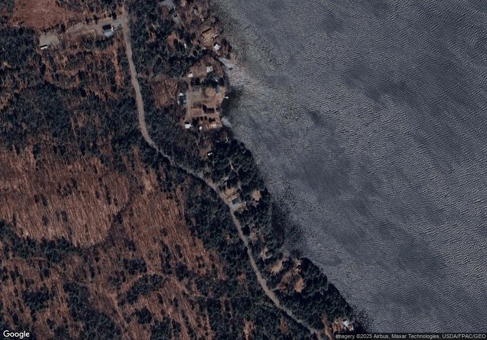
Map
Nearby Homes
- 6 Lufkin Ln
- 10 Trista Ln
- 39 Lake View Dr
- Lot 2 Oak Hill Rd
- Lot 1 Oak Hill Rd
- 29 Ladd Rd
- 165 Meadow Ln
- 177 Meadow Ln
- Lot 12-4 Mcnulty Ln
- 600 Village Rd
- 96 Oak Hill Rd
- 125 N Pond Rd
- 324 Village Rd
- M18L13 Mercer Rd
- 20 Nickerson Ln
- M10/18-7 Brown Rd
- Map 1 L 3 Village Road and Rome Rd
- 00 U S Highway 2
- 257 Rome Rd
- 147 Rome Rd
- 274 Pond Rd
- 282 Pond Rd
- 270 Pond Rd
- 268 Pond Rd
- 2 Bonfire Ln
- 264 Pond Rd
- 260 Pond Rd
- 0 Baker Ln Unit 950831
- 302 Pond Rd
- 14 Candee Cott Ln
- 24 Candee Cott Ln
- 20 Candee Cott Ln
- 0 Pond Rd Firelane I
- 0 Off Pond- Caswell Rd Unit 887624
- 16 Candee Cott Ln
- Lot 37-1 Candee Cott Ln
- 215 Pond Rd
- 22 Brookside Ln
- 24 Brookside Ln
- 16 Brookside Ln