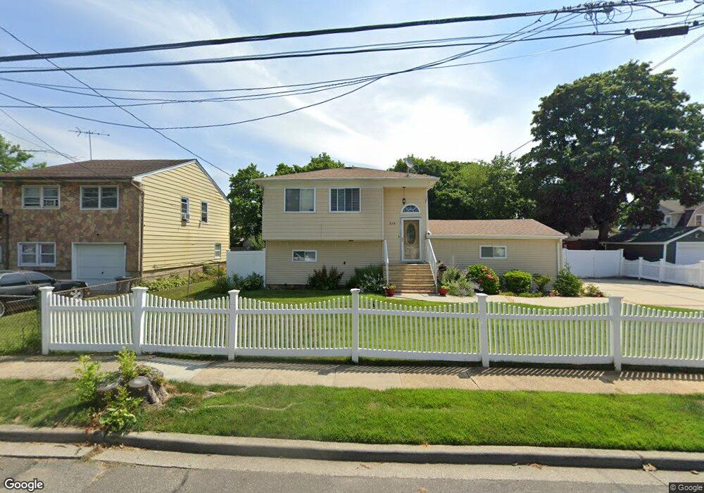
258 Rutland Rd Freeport, NY 11520
Estimated Value: $705,000 - $745,323
--
Bed
2
Baths
1,334
Sq Ft
$544/Sq Ft
Est. Value
About This Home
This home is located at 258 Rutland Rd, Freeport, NY 11520 and is currently estimated at $725,162, approximately $543 per square foot. 258 Rutland Rd is a home located in Nassau County with nearby schools including Columbus Avenue School, Caroline G. Atkinson Intermediate School, and John W Dodd Middle School.
Ownership History
Date
Name
Owned For
Owner Type
Purchase Details
Closed on
Nov 1, 2024
Sold by
Jackson Wendy
Bought by
Jackson Kevin E and Wendy Jackson 2024 Irrevocable Trust
Current Estimated Value
Purchase Details
Closed on
Jul 31, 2000
Sold by
Wahsington William and Wahsington Frances M.
Bought by
Jackson Compton and Jackson Wendy
Create a Home Valuation Report for This Property
The Home Valuation Report is an in-depth analysis detailing your home's value as well as a comparison with similar homes in the area
Home Values in the Area
Average Home Value in this Area
Purchase History
| Date | Buyer | Sale Price | Title Company |
|---|---|---|---|
| Jackson Kevin E | -- | None Available | |
| Jackson Kevin E | -- | None Available | |
| Jackson Kevin E | -- | None Available | |
| Jackson Compton | $219,420 | Victoria Kaplan | |
| Jackson Compton | $219,420 | Victoria Kaplan |
Source: Public Records
Tax History Compared to Growth
Tax History
| Year | Tax Paid | Tax Assessment Tax Assessment Total Assessment is a certain percentage of the fair market value that is determined by local assessors to be the total taxable value of land and additions on the property. | Land | Improvement |
|---|---|---|---|---|
| 2025 | $9,906 | $501 | $172 | $329 |
| 2024 | $1,096 | $501 | $172 | $329 |
| 2023 | $9,135 | $501 | $172 | $329 |
| 2022 | $9,135 | $501 | $172 | $329 |
| 2021 | $13,178 | $480 | $165 | $315 |
| 2020 | $8,813 | $624 | $408 | $216 |
| 2019 | $7,845 | $624 | $408 | $216 |
| 2018 | $7,599 | $624 | $0 | $0 |
| 2017 | $6,471 | $654 | $408 | $246 |
| 2016 | $7,452 | $654 | $408 | $246 |
| 2015 | $945 | $654 | $408 | $246 |
| 2014 | $945 | $654 | $408 | $246 |
| 2013 | $893 | $654 | $408 | $246 |
Source: Public Records
Map
Nearby Homes
- 173 E Seaman Ave
- 259 N Columbus Ave
- 247 N Columbus Ave
- 451 Babylon Turnpike
- 221 E Dean St
- 268 Grand Ave
- 101 Harris Ave
- 92 Leonard Ave
- 400 N Columbus Ave
- 110 Woodside Ave
- 67 E Dean St
- 28 Cumberland Ave
- 98 N Columbus Ave
- 96 N Columbus Ave
- 78 Jesse St
- 72 Woodside Ave
- 6 Frederick Ave
- 58 Shonnard Ave
- 49 Elizabeth St
- 45 Dehnhoff Ave
- 262 Rutland Rd
- 195 E Seaman Ave
- 197 E Seaman Ave
- 199 E Seaman Ave
- 270 Rutland Rd
- 207 E Seaman Ave
- 47 Sagamore St
- 47 Sagamore St
- 55 Sagamore St
- 55 Sagamore St
- 274 Rutland Rd
- 33 Bedford Ave
- 255 Rutland Rd
- 259 Rutland Rd
- 187 E Seaman Ave
- 209 E Seaman Ave
- 261 Rutland Rd Unit 1st Floor
- 261 Rutland Rd
- 271 Rutland Rd
- 65 Sagamore St