Estimated Value: $297,000 - $855,985
4
Beds
3
Baths
2,076
Sq Ft
$278/Sq Ft
Est. Value
About This Home
This home is located at 258 Saw Tooth Trail, Cope, SC 29038 and is currently estimated at $576,493, approximately $277 per square foot. 258 Saw Tooth Trail is a home with nearby schools including Edisto Primary, Edisto Elementary, and Carver Edisto Middle School.
Ownership History
Date
Name
Owned For
Owner Type
Purchase Details
Closed on
Mar 11, 2025
Sold by
Mcpherson William Thomas
Bought by
Mcpherson Beverly O
Current Estimated Value
Purchase Details
Closed on
Apr 9, 2018
Sold by
Ott Sara Diamond and Bellamy Nadia Diamond
Bought by
Mcpherson Beverly O and Miller Janet O
Purchase Details
Closed on
Jul 19, 2010
Sold by
Mcpherson William T
Bought by
Mcpherson William T
Create a Home Valuation Report for This Property
The Home Valuation Report is an in-depth analysis detailing your home's value as well as a comparison with similar homes in the area
Purchase History
| Date | Buyer | Sale Price | Title Company |
|---|---|---|---|
| Mcpherson Beverly O | -- | None Listed On Document | |
| Mcpherson Beverly O | -- | None Available | |
| Mcpherson William T | -- | -- |
Source: Public Records
Mortgage History
| Date | Status | Borrower | Loan Amount |
|---|---|---|---|
| Previous Owner | Mcpherson Beverly O | $300,000 |
Source: Public Records
Tax History
| Year | Tax Paid | Tax Assessment Tax Assessment Total Assessment is a certain percentage of the fair market value that is determined by local assessors to be the total taxable value of land and additions on the property. | Land | Improvement |
|---|---|---|---|---|
| 2024 | $1,562 | $11,290 | $5,690 | $5,600 |
| 2023 | $1,452 | $25,648 | $14,116 | $11,532 |
| 2022 | $1,424 | $25,648 | $14,116 | $11,532 |
| 2021 | $3,551 | $25,648 | $14,116 | $11,532 |
| 2020 | $3,315 | $25,648 | $14,116 | $11,532 |
| 2019 | $3,237 | $25,648 | $14,116 | $11,532 |
| 2018 | $2,820 | $26,296 | $14,116 | $12,180 |
| 2017 | $2,782 | $26,296 | $0 | $0 |
| 2016 | $2,773 | $26,296 | $0 | $0 |
| 2015 | $2,609 | $26,296 | $0 | $0 |
| 2014 | $2,609 | $26,296 | $14,116 | $12,180 |
| 2013 | -- | $27,295 | $14,099 | $13,196 |
Source: Public Records
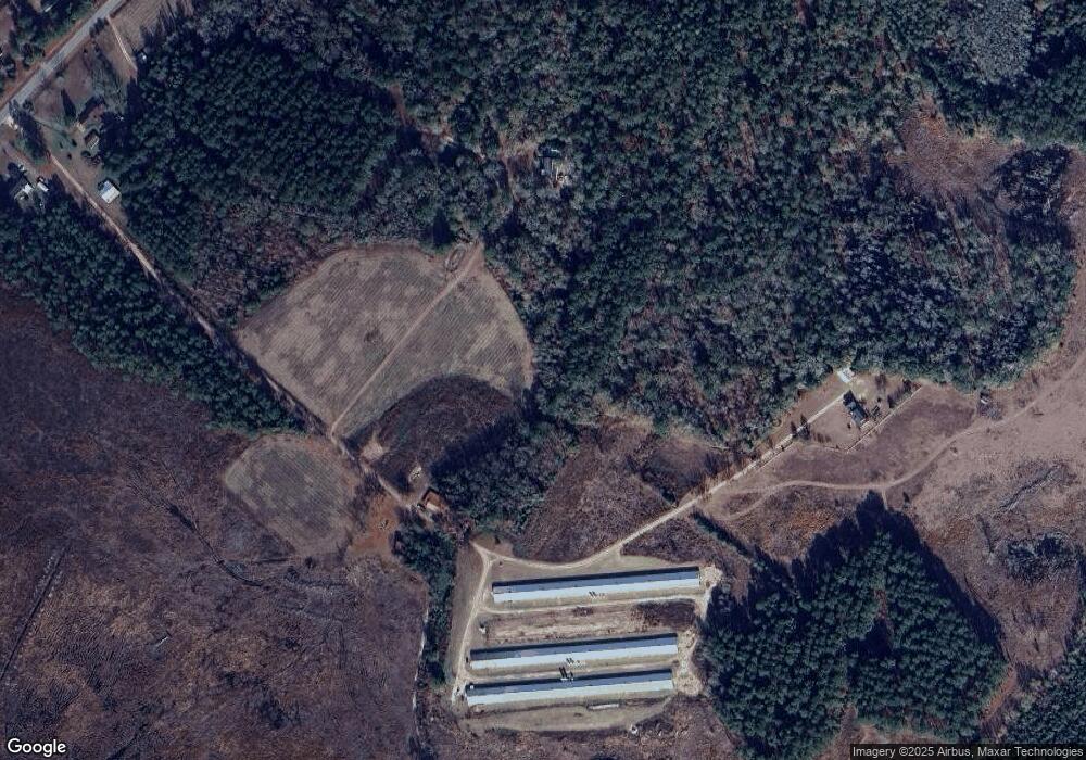
Map
Nearby Homes
- 4857 Cannon Bridge Rd
- 133 Banning St
- 1510 Hudson Rd
- 0 River Vista Dr & Farr Rd
- 220 Ivory St
- 1 Stevenson Rd
- 0 Blewer
- 92 Alex Ln
- 4446 Char-Augusta Rd
- 0 Carver School Rd Unit 24022381
- 00 Ryn St
- 0 Loblolly Ct Unit 25013082
- 0 Loblolly Ct Unit 169810
- 48 Loblolly Ct
- Tbd Old Buckhead Rd
- 105 River Birch Rd
- 32 Cockadoodle Loop
- 15 Marta St
- 3661 Faust St
- 216 Sumter St
- 4851 Cannon Bridge Rd
- 1819 Hudson Rd
- 1897 Hudson Rd
- 1840 Hudson Rd
- 1862 Hudson Rd
- 4857 Cannon Bridge Rd
- 4857 Cannon Bridge Rd
- 4875 Cannon Bridge Rd
- 4931 Cannon Bridge Rd
- 1749 Hudson Rd
- 1772 Hudson Rd
- 4977 Cannon Bridge Rd
- 155 Gamecock Ln
- 4983 Cannon Bridge Rd
- 422 Hills Rd
- 5007 Cannon Bridge Rd
- 4982 Cannon Bridge Rd
- 4762 Cannon Bridge Rd
- 138 Hills Rd
- 0000 Cannon Bridge Rd
Your Personal Tour Guide
Ask me questions while you tour the home.