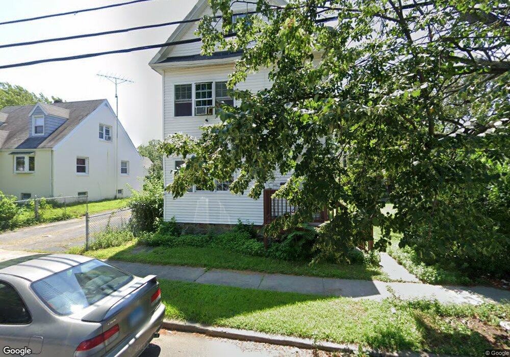
258 Sedgewick Ave Stratford, CT 06615
Stratford Center Historic District NeighborhoodEstimated Value: $353,000 - $456,000
5
Beds
2
Baths
1,988
Sq Ft
$195/Sq Ft
Est. Value
About This Home
This home is located at 258 Sedgewick Ave, Stratford, CT 06615 and is currently estimated at $387,373, approximately $194 per square foot. 258 Sedgewick Ave is a home located in Fairfield County with nearby schools including Stratford Academy - Johnson House, David Wooster Middle School, and Stratford High School.
Ownership History
Date
Name
Owned For
Owner Type
Purchase Details
Closed on
Apr 16, 2021
Sold by
Evans Nancy G
Bought by
24 Investments Llc
Current Estimated Value
Home Financials for this Owner
Home Financials are based on the most recent Mortgage that was taken out on this home.
Original Mortgage
$188,000
Outstanding Balance
$169,004
Interest Rate
3%
Mortgage Type
Commercial
Estimated Equity
$218,369
Purchase Details
Closed on
Aug 29, 1985
Bought by
Evans Nancy G
Create a Home Valuation Report for This Property
The Home Valuation Report is an in-depth analysis detailing your home's value as well as a comparison with similar homes in the area
Home Values in the Area
Average Home Value in this Area
Purchase History
| Date | Buyer | Sale Price | Title Company |
|---|---|---|---|
| 24 Investments Llc | $235,000 | None Available | |
| Evans Nancy G | $72,000 | -- |
Source: Public Records
Mortgage History
| Date | Status | Borrower | Loan Amount |
|---|---|---|---|
| Open | 24 Investments Llc | $188,000 |
Source: Public Records
Tax History Compared to Growth
Tax History
| Year | Tax Paid | Tax Assessment Tax Assessment Total Assessment is a certain percentage of the fair market value that is determined by local assessors to be the total taxable value of land and additions on the property. | Land | Improvement |
|---|---|---|---|---|
| 2025 | $5,597 | $139,230 | $49,070 | $90,160 |
| 2024 | $5,597 | $139,230 | $49,070 | $90,160 |
| 2023 | $5,597 | $139,230 | $49,070 | $90,160 |
| 2022 | $5,494 | $139,230 | $49,070 | $90,160 |
| 2021 | $5,495 | $139,230 | $49,070 | $90,160 |
| 2020 | $5,519 | $139,230 | $49,070 | $90,160 |
| 2019 | $5,261 | $131,950 | $40,810 | $91,140 |
| 2018 | $5,265 | $131,950 | $40,810 | $91,140 |
| 2017 | $5,274 | $131,950 | $40,810 | $91,140 |
| 2016 | $5,145 | $131,950 | $40,810 | $91,140 |
| 2015 | $4,880 | $131,950 | $40,810 | $91,140 |
| 2014 | $4,996 | $140,210 | $44,870 | $95,340 |
Source: Public Records
Map
Nearby Homes
- 270 Roosevelt Ave
- 107 Dewey St
- 216 Mckinley Ave
- 325 Mckinley Ave
- 366 Columbus Ave
- 148 Columbus Ave
- 66 Roosevelt Ave
- 126 Garibaldi Ave
- 208 Harding Ave
- 125 Garibaldi Ave
- 394 Harding Ave
- 88 Boswell St
- 79 Wooster Ave
- 209 Mcgrath Ct
- 238 Larkin Ct
- 15 Harding Ave
- 65 Masarik Ave
- 196 Avon St
- 291 Birdseye St
- 1170 South Ave