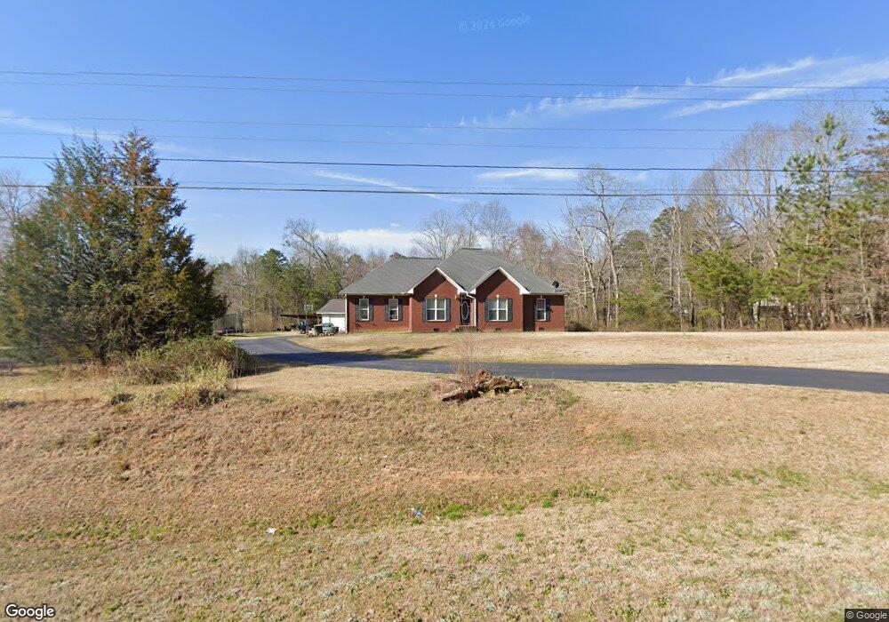
2581 Duncan Bridge Rd Cornelia, GA 30531
Estimated Value: $443,548 - $532,000
3
Beds
2
Baths
2,413
Sq Ft
$205/Sq Ft
Est. Value
About This Home
This home is located at 2581 Duncan Bridge Rd, Cornelia, GA 30531 and is currently estimated at $494,637, approximately $204 per square foot. 2581 Duncan Bridge Rd is a home located in Habersham County with nearby schools including Level Grove Elementary School, South Habersham Middle School, and Habersham Success Academy.
Ownership History
Date
Name
Owned For
Owner Type
Purchase Details
Closed on
Sep 1, 2006
Sold by
Not Provided
Bought by
Bantaum Pitchit Jak and Vannasone Alina
Current Estimated Value
Home Financials for this Owner
Home Financials are based on the most recent Mortgage that was taken out on this home.
Original Mortgage
$120,000
Interest Rate
6.46%
Mortgage Type
New Conventional
Create a Home Valuation Report for This Property
The Home Valuation Report is an in-depth analysis detailing your home's value as well as a comparison with similar homes in the area
Home Values in the Area
Average Home Value in this Area
Purchase History
| Date | Buyer | Sale Price | Title Company |
|---|---|---|---|
| Bantaum Pitchit Jak | -- | -- |
Source: Public Records
Mortgage History
| Date | Status | Borrower | Loan Amount |
|---|---|---|---|
| Closed | Bantaum Pitchit Jak | $120,000 |
Source: Public Records
Tax History Compared to Growth
Tax History
| Year | Tax Paid | Tax Assessment Tax Assessment Total Assessment is a certain percentage of the fair market value that is determined by local assessors to be the total taxable value of land and additions on the property. | Land | Improvement |
|---|---|---|---|---|
| 2025 | $3,089 | $175,345 | $25,502 | $149,843 |
| 2024 | -- | $176,120 | $24,728 | $151,392 |
| 2023 | $2,452 | $149,756 | $24,728 | $125,028 |
| 2022 | $2,677 | $120,552 | $13,396 | $107,156 |
| 2021 | $2,537 | $108,632 | $13,396 | $95,236 |
| 2020 | $2,444 | $95,220 | $13,396 | $81,824 |
| 2019 | $2,446 | $95,220 | $13,396 | $81,824 |
| 2018 | $2,429 | $95,220 | $13,396 | $81,824 |
| 2017 | $2,222 | $84,668 | $10,304 | $74,364 |
| 2016 | $2,156 | $211,670 | $10,304 | $74,364 |
| 2015 | $2,130 | $211,670 | $10,304 | $74,364 |
| 2014 | $2,108 | $205,750 | $10,304 | $71,996 |
| 2013 | -- | $83,332 | $11,336 | $71,996 |
Source: Public Records
Map
Nearby Homes
- 0 Woodmont Dr Unit LOT 3
- 240 Woodmont Dr
- 450 Beachwood Dr
- 434 Beachwood Dr
- 255 Laurel Place Dr
- 0 Beachwood Dr Unit 7694240
- 0 Beachwood Dr Unit 35
- 335 Laurel Place Dr
- 0 Hubert Harris
- 429 Hubert Harris Rd
- 329 Highland Pointe Dr
- 424 Highland Pointe Dr
- 752 Dawn Place
- 0 State Route 365 Unit 10496178
- 0 State Route 365 Unit 10496183
- 226 Highland Pointe Dr
- 1307 Creasy Patch Rd
- 168 Highland Pointe Dr
- 140 Highland Pointe Dr
- 179 Sunset Oaks Dr
- 101 Laurel Oak Dr
- 2021 Charlie Davis Rd
- 149 Laurel Oak Dr
- 168 Laurel Oak Dr
- 2701 Duncan Bridge Rd
- 2005 Charlie Davis Rd
- 165 Laurel Oak Dr
- 2555 Duncan Bridge Rd
- 201 Laurel Oak Dr
- 1993 Charlie Davis Rd
- 2755 Duncan Bridge Rd
- 222 Laurel Oak Dr
- 225 Laurel Oak Dr
- 4300 Mud Creek Rd
- 258 Laurel Oak Dr
- 1923 Charlie Davis Rd
- 2509 Duncan Bridge Rd
- 1898 Charlie Davis Rd
- 4274 Mud Creek Rd
- 51 Woodmont Dr