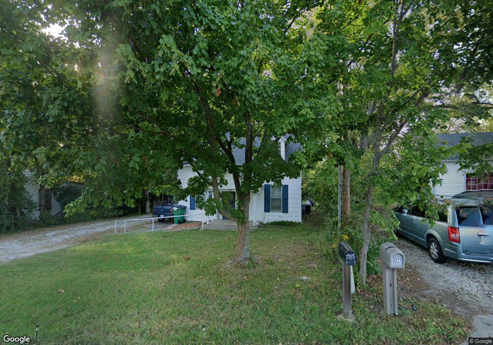
2581 Highway 100 Gray Summit, MO 63039
Estimated Value: $163,000 - $216,000
3
Beds
1
Bath
1,234
Sq Ft
$147/Sq Ft
Est. Value
About This Home
This home is located at 2581 Highway 100, Gray Summit, MO 63039 and is currently estimated at $181,416, approximately $147 per square foot. 2581 Highway 100 is a home located in Franklin County with nearby schools including Pacific High School and St Bridget Elementary School.
Ownership History
Date
Name
Owned For
Owner Type
Purchase Details
Closed on
Sep 30, 2021
Sold by
Kase Sheryl L
Bought by
Asset Foundations Llc
Current Estimated Value
Purchase Details
Closed on
Jul 30, 2013
Sold by
Cameron Sharon
Bought by
Kase Sheryl L
Home Financials for this Owner
Home Financials are based on the most recent Mortgage that was taken out on this home.
Original Mortgage
$36,470
Interest Rate
4.34%
Mortgage Type
New Conventional
Create a Home Valuation Report for This Property
The Home Valuation Report is an in-depth analysis detailing your home's value as well as a comparison with similar homes in the area
Home Values in the Area
Average Home Value in this Area
Purchase History
| Date | Buyer | Sale Price | Title Company |
|---|---|---|---|
| Asset Foundations Llc | -- | Chesterfield Title Agency | |
| Kase Sheryl L | $45,700 | -- |
Source: Public Records
Mortgage History
| Date | Status | Borrower | Loan Amount |
|---|---|---|---|
| Previous Owner | Kase Sheryl L | $36,470 |
Source: Public Records
Tax History
| Year | Tax Paid | Tax Assessment Tax Assessment Total Assessment is a certain percentage of the fair market value that is determined by local assessors to be the total taxable value of land and additions on the property. | Land | Improvement |
|---|---|---|---|---|
| 2025 | $1,256 | $16,294 | $0 | $0 |
| 2024 | $1,256 | $15,432 | $0 | $0 |
| 2023 | $1,147 | $15,432 | $0 | $0 |
| 2022 | $906 | $13,999 | $0 | $0 |
| 2021 | $913 | $13,999 | $0 | $0 |
| 2020 | $872 | $12,783 | $0 | $0 |
| 2019 | $871 | $12,783 | $0 | $0 |
| 2018 | $827 | $11,941 | $0 | $0 |
| 2017 | $824 | $11,941 | $0 | $0 |
| 2016 | $815 | $11,725 | $0 | $0 |
| 2015 | $751 | $11,725 | $0 | $0 |
| 2014 | $782 | $12,378 | $0 | $0 |
Source: Public Records
Map
Nearby Homes
- 2 Summerfield at Parkview Common
- 2 St James at Parkview Commons
- 2 Aspen at Parkview Manors
- 2 Maple at Parkview Manors
- 2 Manors
- 2 Berwick at Parkview Manors
- 2 Ashford at Parkview Manors
- 2 Royal II at Parkview Manors
- 2 Sterling at Parkview Manors
- Lot 33 Meremac Ave
- 1668 Missouri Ave
- Lot 34 Meramec Ave
- 1654 Missouri Ave
- 35, 36 Missouri Ave
- 1464 Meramec Ave
- 1624 Missouri Ave
- 1003 Mitchell Way
- 926 Wisdom Ln
- 1829 Ridge Ln
- 409 Puetz Ln
- 2577 Highway 100
- 2585 Highway 100
- 2575 Highway 100
- 2574 Highway 100
- 2593 Highway 100
- 2594 Highway 100
- 2595 Highway 100
- 2597 Highway 100
- 1277 Decker Rd
- 2601 Highway 100
- 2563 Highway 100
- 2487 Highway 100
- 104 Hill Dr
- 2600 Highway 100 Unit n/a
- 204 Charlotte Dr Unit 206
- 102 Hill Dr
- 100 Hill Dr
- 200 Charlotte Dr Unit 202
- 106 Hill Dr
- 108 Hill Dr
Your Personal Tour Guide
Ask me questions while you tour the home.