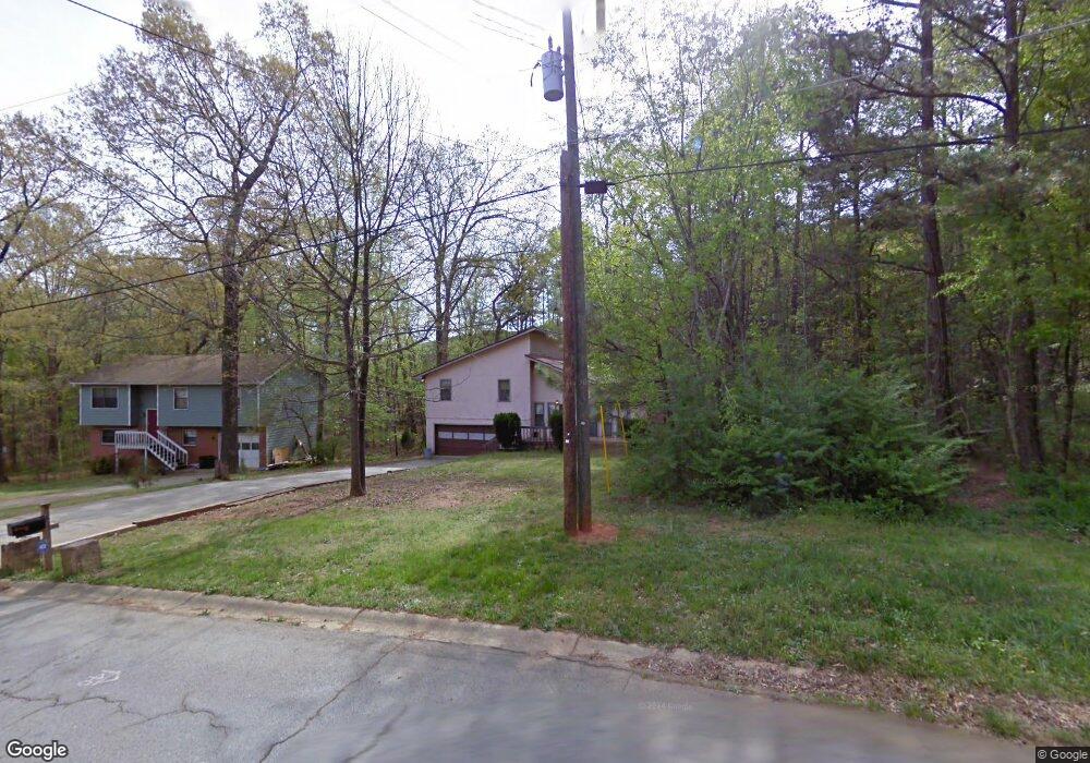
2581 Lewfield Cir SE Atlanta, GA 30316
Southwest DeKalb NeighborhoodEstimated Value: $269,022 - $328,000
3
Beds
2
Baths
1,730
Sq Ft
$177/Sq Ft
Est. Value
About This Home
This home is located at 2581 Lewfield Cir SE, Atlanta, GA 30316 and is currently estimated at $305,756, approximately $176 per square foot. 2581 Lewfield Cir SE is a home located in DeKalb County with nearby schools including Barack H. Obama Elementary Magnet School of Technology, McNair Middle School, and McNair High School.
Ownership History
Date
Name
Owned For
Owner Type
Purchase Details
Closed on
Jul 23, 2021
Sold by
Amerizam Inc
Bought by
George Anthony
Current Estimated Value
Home Financials for this Owner
Home Financials are based on the most recent Mortgage that was taken out on this home.
Original Mortgage
$97,185
Outstanding Balance
$88,315
Interest Rate
3%
Mortgage Type
VA
Estimated Equity
$217,441
Create a Home Valuation Report for This Property
The Home Valuation Report is an in-depth analysis detailing your home's value as well as a comparison with similar homes in the area
Home Values in the Area
Average Home Value in this Area
Purchase History
| Date | Buyer | Sale Price | Title Company |
|---|---|---|---|
| George Anthony | $95,000 | -- |
Source: Public Records
Mortgage History
| Date | Status | Borrower | Loan Amount |
|---|---|---|---|
| Open | George Anthony | $97,185 |
Source: Public Records
Tax History Compared to Growth
Tax History
| Year | Tax Paid | Tax Assessment Tax Assessment Total Assessment is a certain percentage of the fair market value that is determined by local assessors to be the total taxable value of land and additions on the property. | Land | Improvement |
|---|---|---|---|---|
| 2025 | $3,161 | $104,960 | $32,640 | $72,320 |
| 2024 | $3,218 | $102,880 | $28,040 | $74,840 |
| 2023 | $3,218 | $96,680 | $28,040 | $68,640 |
| 2022 | $3,196 | $104,400 | $24,400 | $80,000 |
| 2021 | $3,601 | $74,280 | $23,770 | $50,510 |
| 2020 | $3,601 | $74,280 | $23,770 | $50,510 |
| 2019 | $2,780 | $74,280 | $24,000 | $50,280 |
| 2018 | $2,646 | $55,560 | $24,000 | $31,560 |
| 2017 | $2,630 | $50,480 | $2,200 | $48,280 |
| 2016 | $2,466 | $48,080 | $2,200 | $45,880 |
| 2014 | $1,410 | $23,600 | $2,200 | $21,400 |
Source: Public Records
Map
Nearby Homes
- 2547 Crestdale Cir SE
- 2642 Hatfield Cir SE
- 2163 Wiggins Walk
- 1337 Emerald Ave SE
- 1207 Watson Trail SE
- 2116 Gorman Grove SE
- 2107 Gorman Grove SE Unit 132
- 2407 Crestdale Cir SE
- 1331 Diamond Ave SE
- 1418 Foxhall Ln SE Unit 18
- 1418 Foxhall Ln SE Unit 9
- 1418 Foxhall Ln SE Unit 8
- 2328 Mason Dr
- 2333 Mason Dr Unit D26
- 2329 Mason Dr Unit D-24
- 2323 Mason Dr Unit D-21
- 2589 Lewfield Cir SE
- 2575 Lewfield Cir SE
- 2595 Lewfield Cir SE
- 2569 Lewfield Cir SE
- 2580 Lewfield Cir SE Unit 3
- 2590 Lewfield Cir SE
- 0 Lewfield Cir SE Unit 7494746
- 0 Lewfield Cir SE Unit 7375242
- 0 Lewfield Cir SE Unit 7133962
- 0 Lewfield Cir SE Unit 7012738
- 0 Lewfield Cir SE Unit 3269078
- 0 Lewfield Cir SE Unit 3175611
- 0 Lewfield Cir SE Unit 3155311
- 0 Lewfield Cir SE Unit 8342339
- 0 Lewfield Cir SE Unit 8294359
- 0 Lewfield Cir SE Unit 8210413
- 0 Lewfield Cir SE Unit 8194335
- 0 Lewfield Cir SE Unit 8121183
- 0 Lewfield Cir SE Unit 7092424
- 0 Lewfield Cir SE Unit 7151753