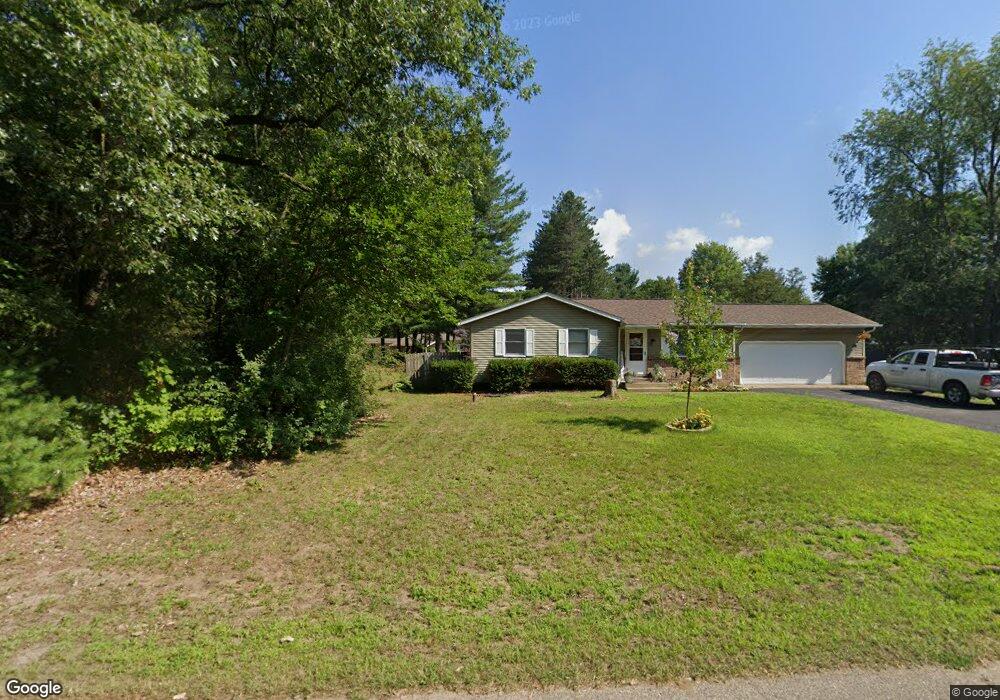
25811 Maple Dr Mattawan, MI 49071
Estimated Value: $248,259 - $287,000
3
Beds
1
Bath
1,128
Sq Ft
$232/Sq Ft
Est. Value
About This Home
This home is located at 25811 Maple Dr, Mattawan, MI 49071 and is currently estimated at $261,315, approximately $231 per square foot. 25811 Maple Dr is a home located in Van Buren County with nearby schools including Mattawan Early Elementary School, Mattawan Later Elementary School, and Mattawan Early Childhood Education Center.
Ownership History
Date
Name
Owned For
Owner Type
Purchase Details
Closed on
Oct 8, 2020
Sold by
Wall Heath K and Wall Jennifer D
Bought by
Lisowski Cody
Current Estimated Value
Home Financials for this Owner
Home Financials are based on the most recent Mortgage that was taken out on this home.
Original Mortgage
$176,739
Outstanding Balance
$157,200
Interest Rate
2.9%
Mortgage Type
FHA
Estimated Equity
$104,115
Purchase Details
Closed on
Feb 12, 2007
Sold by
Haaksma Randy J and Haaksma Mary A
Bought by
Wall Heath K and Wall Jennifer D
Home Financials for this Owner
Home Financials are based on the most recent Mortgage that was taken out on this home.
Original Mortgage
$93,000
Interest Rate
6.23%
Mortgage Type
Purchase Money Mortgage
Create a Home Valuation Report for This Property
The Home Valuation Report is an in-depth analysis detailing your home's value as well as a comparison with similar homes in the area
Home Values in the Area
Average Home Value in this Area
Purchase History
| Date | Buyer | Sale Price | Title Company |
|---|---|---|---|
| Lisowski Cody | $180,000 | Chicago Title Of Mi Inc | |
| Wall Heath K | $124,000 | None Available |
Source: Public Records
Mortgage History
| Date | Status | Borrower | Loan Amount |
|---|---|---|---|
| Open | Lisowski Cody | $176,739 | |
| Previous Owner | Wall Heath K | $93,000 |
Source: Public Records
Tax History
| Year | Tax Paid | Tax Assessment Tax Assessment Total Assessment is a certain percentage of the fair market value that is determined by local assessors to be the total taxable value of land and additions on the property. | Land | Improvement |
|---|---|---|---|---|
| 2025 | $3,279 | $114,000 | $0 | $0 |
| 2024 | $971 | $114,400 | $0 | $0 |
| 2023 | $925 | $110,300 | $0 | $0 |
| 2022 | $2,944 | $83,900 | $0 | $0 |
| 2021 | $2,832 | $80,900 | $9,000 | $71,900 |
| 2020 | $1,994 | $85,300 | $9,000 | $76,300 |
| 2019 | $1,849 | $72,100 | $72,100 | $0 |
| 2018 | $1,808 | $57,500 | $57,500 | $0 |
| 2017 | $1,744 | $60,600 | $0 | $0 |
| 2016 | $1,758 | $52,800 | $0 | $0 |
| 2015 | $1,589 | $52,800 | $0 | $0 |
| 2014 | $1,614 | $53,300 | $0 | $0 |
| 2013 | -- | $52,800 | $52,800 | $0 |
Source: Public Records
Map
Nearby Homes
- 25851 Pleasant Dr
- 51133 25th St
- 52484 N Point Dr
- 24537 Brownstone Blvd
- 49076 Silver Oaks W
- 48156 County Road 652
- 51650 County Road 652
- 48692 Silver Oaks Blvd
- 4.5 County Road 652
- 48605 Silver Oaks Blvd
- 24308 Brownstone Blvd
- 48405 Silver Oaks W
- 48265 Silver Oaks W
- 48270 Silver Oaks Blvd
- 25245 Vargas
- 23589 Laurel Glen Ave
- 23753 Red Arrow Hwy
- Integrity 1610 Plan at Silver Oaks
- Traditions 3400 V8.0b Plan at Silver Oaks
- Elements 2700 Plan at Silver Oaks
- 25811 Maple Dr
- 25872 Maple Dr
- 51891 Cherry Ln
- 25797 Par Four Cir
- 25841 Par Four Cir
- 25841 Par-4 Cr
- 51782 Oak Dr
- 51862 Oak Dr
- 51918 Cherry Ln
- 24872 Maple St
- 51696 Oak Dr
- 25920 Maple Dr
- 51959 Cherry Ln
- 51952 Oak Dr
- 51984 Cherry Ln
- 51625 26th St
- 1001 Cherry Ln
- 25988 Maple Dr
- 25852 Par Four Cir
- 51899 26th St
Your Personal Tour Guide
Ask me questions while you tour the home.