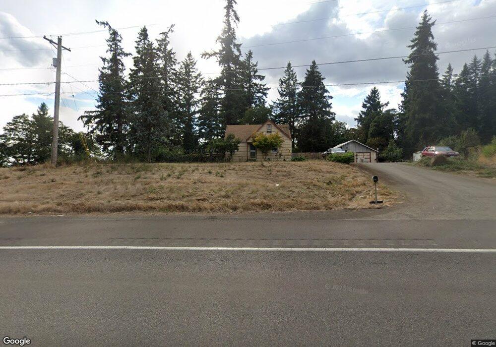
25813 S Highway 213 Mulino, OR 97042
Estimated Value: $545,000 - $597,858
3
Beds
1
Bath
2,088
Sq Ft
$276/Sq Ft
Est. Value
About This Home
This home is located at 25813 S Highway 213, Mulino, OR 97042 and is currently estimated at $575,715, approximately $275 per square foot. 25813 S Highway 213 is a home located in Clackamas County.
Ownership History
Date
Name
Owned For
Owner Type
Purchase Details
Closed on
Jul 23, 2002
Sold by
Getner Hary Michael and Getner Christopher Edwin
Bought by
Getner Thomas Allen and Getner Desiree M
Current Estimated Value
Home Financials for this Owner
Home Financials are based on the most recent Mortgage that was taken out on this home.
Original Mortgage
$140,700
Interest Rate
6.52%
Mortgage Type
FHA
Purchase Details
Closed on
Dec 6, 1996
Sold by
Getner Kevin Charles and Getner Donald Paul Michael
Bought by
Getner Gary Michael and Getner Christopher Edwin
Create a Home Valuation Report for This Property
The Home Valuation Report is an in-depth analysis detailing your home's value as well as a comparison with similar homes in the area
Home Values in the Area
Average Home Value in this Area
Purchase History
| Date | Buyer | Sale Price | Title Company |
|---|---|---|---|
| Getner Thomas Allen | $154,000 | Chicago Title Insurance Co | |
| Getner Gary Michael | -- | -- |
Source: Public Records
Mortgage History
| Date | Status | Borrower | Loan Amount |
|---|---|---|---|
| Closed | Getner Thomas Allen | $140,700 |
Source: Public Records
Tax History Compared to Growth
Tax History
| Year | Tax Paid | Tax Assessment Tax Assessment Total Assessment is a certain percentage of the fair market value that is determined by local assessors to be the total taxable value of land and additions on the property. | Land | Improvement |
|---|---|---|---|---|
| 2025 | $3,049 | $225,317 | -- | -- |
| 2024 | $2,951 | $218,755 | -- | -- |
| 2023 | $2,951 | $212,384 | $0 | $0 |
| 2022 | $2,464 | $206,199 | $0 | $0 |
| 2021 | $2,351 | $200,194 | $0 | $0 |
| 2020 | $2,287 | $194,364 | $0 | $0 |
| 2019 | $2,220 | $188,703 | $0 | $0 |
| 2018 | $2,159 | $183,207 | $0 | $0 |
| 2017 | $2,039 | $177,871 | $0 | $0 |
| 2016 | $1,913 | $172,690 | $0 | $0 |
| 2015 | $1,858 | $167,660 | $0 | $0 |
| 2014 | $1,797 | $162,777 | $0 | $0 |
Source: Public Records
Map
Nearby Homes
- 13511 S Freeman Rd
- 26684 S Fish Rd
- 26250 S Milk Creek Cir
- 26740 S Fish Rd
- 0 S Ranch Hills Rd
- 14980 S Buckner Creek Rd
- 13920 S Lucia Ln
- 24450 S Highway 213
- 12192 S Mulino Rd
- 15693 S Hidden Rd
- 14001 S Union Mills Rd
- 12051 S Riggs Damm Rd
- 0 S MacKsburg Rd
- 11600 S Emerson Rd
- 28502 S Highway 213
- 28502 Oregon 213
- 15678 S Spangler Rd
- 11800 S Carus Rd
- 16428 S Buckner Creek Rd
- 13392 S Carus Rd
- 13440 S Cliffside Dr
- 13448 S Cliffside Dr
- 25757 S Highway 213
- 13380 S Cliffside Dr
- 0 S Glenn Dr
- 13360 S Cliffside Dr
- 13491 S Freeman Rd
- 13285 S Cliffside Dr
- 13355 S Freeman Rd
- 13343 S Glenn Dr
- 13333 S Glenn Dr
- 13300 S Cliffside Dr
- 25895 S Eldorado Rd
- 25611 S Highway 213
- 13575 S Freeman Rd
- 13327 S Glenn Dr
- 26030 S Eldorado Rd
- 13287 S Freeman Rd
- 13225 S Cliffside Dr
- 13356 S Freeman Rd