2582 Lantern Light Way Manasquan, NJ 08736
Estimated Value: $987,000 - $1,054,000
2
Beds
2
Baths
2,653
Sq Ft
$382/Sq Ft
Est. Value
About This Home
This home is located at 2582 Lantern Light Way, Manasquan, NJ 08736 and is currently estimated at $1,014,607, approximately $382 per square foot. 2582 Lantern Light Way is a home located in Monmouth County with nearby schools including Wall High School, The Brookside School, and St Dominic School.
Ownership History
Date
Name
Owned For
Owner Type
Purchase Details
Closed on
Dec 23, 2022
Sold by
Surenian Darius
Bought by
Surenian Darius
Current Estimated Value
Purchase Details
Closed on
Aug 28, 1998
Sold by
Hovnanian K
Bought by
Surenian Darius and Surenian Rose
Home Financials for this Owner
Home Financials are based on the most recent Mortgage that was taken out on this home.
Original Mortgage
$100,000
Interest Rate
6.87%
Create a Home Valuation Report for This Property
The Home Valuation Report is an in-depth analysis detailing your home's value as well as a comparison with similar homes in the area
Home Values in the Area
Average Home Value in this Area
Purchase History
| Date | Buyer | Sale Price | Title Company |
|---|---|---|---|
| Surenian Darius | -- | -- | |
| Surenian Darius | -- | None Listed On Document | |
| Surenian Darius | $319,849 | -- |
Source: Public Records
Mortgage History
| Date | Status | Borrower | Loan Amount |
|---|---|---|---|
| Previous Owner | Surenian Darius | $100,000 |
Source: Public Records
Tax History Compared to Growth
Tax History
| Year | Tax Paid | Tax Assessment Tax Assessment Total Assessment is a certain percentage of the fair market value that is determined by local assessors to be the total taxable value of land and additions on the property. | Land | Improvement |
|---|---|---|---|---|
| 2025 | $12,877 | $610,300 | $345,700 | $264,600 |
| 2024 | $12,493 | $610,300 | $345,700 | $264,600 |
| 2023 | $12,493 | $610,300 | $345,700 | $264,600 |
| 2022 | $11,696 | $610,300 | $345,700 | $264,600 |
| 2021 | $11,696 | $610,300 | $345,700 | $264,600 |
| 2020 | $12,041 | $610,300 | $345,700 | $264,600 |
| 2019 | $11,895 | $610,300 | $345,700 | $264,600 |
| 2018 | $11,791 | $610,300 | $345,700 | $264,600 |
| 2017 | $11,559 | $610,300 | $345,700 | $264,600 |
| 2016 | $11,315 | $610,300 | $345,700 | $264,600 |
| 2015 | $10,343 | $350,600 | $131,300 | $219,300 |
| 2014 | $9,846 | $341,400 | $122,100 | $219,300 |
Source: Public Records
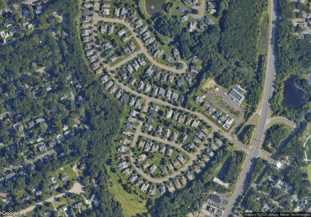
Map
Nearby Homes
- 1582 Horseshoe Dr
- 664 Valley Rd
- 2578 Collier Rd
- 1544 Harvest Ln
- 29 Mulberry Ct Unit D
- 41 Poplar Ct Unit C
- 2567 River Rd
- 2573 Curriers Place
- 1041 Oval Rd Unit 5
- 2510 Morningstar Rd
- 2511 Morningstar Rd
- 20 Maple Ln Unit D
- Kensington Plan at The Monmouth - The Villas 55+
- 846 William Dr
- 21 N Tamarack Dr
- 2639 River Rd
- 2528 River Rd
- 816 Rathjen Rd
- 142 Oval Rd
- 1004 Cedar Ln
- 2584 Lantern Light Way
- 2589 Morningstar Rd
- 2586 Lantern Light Way
- 2586 Morningstar Rd
- 2583 Morningstar Rd
- 2584 Morningstar Rd
- 2588 Morningstar Rd
- 2582 Morningstar Rd
- 2591 Morningstar Rd
- 2590 Morningstar Rd
- 2588 Lantern Light Way
- 1506 Sawyer Ave
- 2585 Lantern Light Way
- 2581 Morningstar Rd
- 2580 Morningstar Rd
- 2592 Morningstar Rd
- 2587 Lantern Light Way
- 1504 Sawyer Ave
- 2593 Morningstar Rd
- 1509 Wishing Well Ln