2583 Thurleston Ln Duluth, GA 30097
Estimated Value: $1,439,000 - $1,837,000
About This Home
This home is located at 2583 Thurleston Ln, Duluth, GA 30097 and is currently estimated at $1,703,912, approximately $431 per square foot. 2583 Thurleston Ln is a home with nearby schools including M. H. Mason Elementary School, Hull Middle School, and Peachtree Ridge High School.
Ownership History
We collect this data history from publicly available records. To have your information removed, we recommend requesting removal directly through your county’s website.
Purchase Details
Home Financials for this Owner
Home Financials are based on the most recent Mortgage that was taken out on this home.Purchase Details
Home Financials for this Owner
Home Financials are based on the most recent Mortgage that was taken out on this home.Purchase Details
Home Values in the Area
Average Home Value in this Area
Purchase History
We collect this data history from publicly available records. To have your information removed, we recommend requesting removal directly through your county’s website.
| Date | Buyer | Sale Price | Title Company |
|---|---|---|---|
| $933,500 | -- | ||
| -- | -- | ||
| $665,000 | -- |
Mortgage History
We collect this data history from publicly available records. To have your information removed, we recommend requesting removal directly through your county’s website.
| Date | Status | Borrower | Loan Amount |
|---|---|---|---|
| Open | $106,650 | ||
| Open | $733,500 | ||
| Previous Owner | $532,000 |
Tax History
We collect this data history from publicly available records. To have your information removed, we recommend requesting removal directly through your county’s website.
| Year | Tax Paid | Tax Assessment Tax Assessment Total Assessment is a certain percentage of the fair market value that is determined by local assessors to be the total taxable value of land and additions on the property. | Land | Improvement |
|---|---|---|---|---|
| 2025 | $16,768 | $624,360 | $100,080 | $524,280 |
| 2024 | $17,023 | $603,160 | $96,000 | $507,160 |
| 2023 | $17,023 | $542,760 | $96,000 | $446,760 |
| 2022 | $14,855 | $497,680 | $96,000 | $401,680 |
| 2021 | $12,484 | $371,160 | $76,000 | $295,160 |
| 2020 | $12,363 | $361,400 | $76,000 | $285,400 |
| 2019 | $11,454 | $337,720 | $50,000 | $287,720 |
| 2018 | $11,493 | $337,720 | $50,000 | $287,720 |
| 2016 | $11,508 | $337,720 | $50,000 | $287,720 |
| 2015 | $10,736 | $296,360 | $40,000 | $256,360 |
| 2014 | -- | $296,360 | $40,000 | $256,360 |
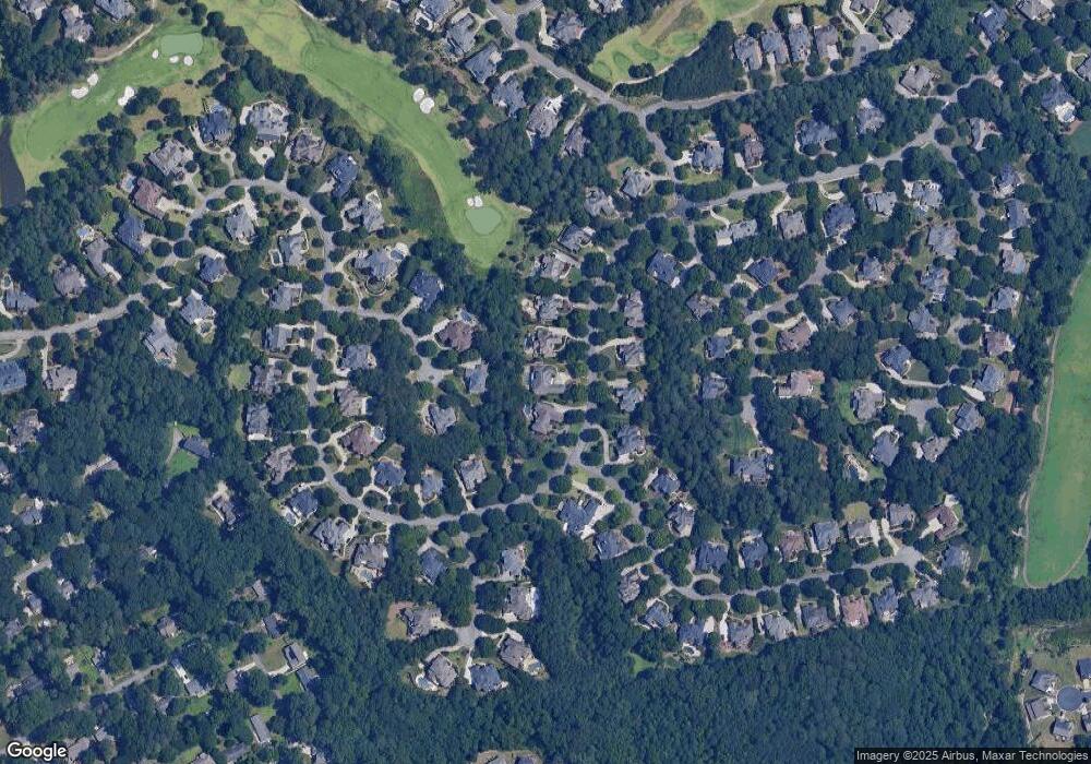
Map
- 2717 Mount Pleasant Trail
- 2893 Thurleston Ln
- 2748 Cedar Kay Trail
- 2575 Harman Park Ct NW
- 2756 Staunton Dr
- 2491 Cannon Farm Ln
- 2320 Sugarloaf Club Dr
- 2816 Staunton Dr
- 3038 Willowstone Dr
- 2834 Gavin Place
- 2957 Darlington Run
- 103 Brookhavenrun Cir
- 2877 Darlington Run
- 3161 Willowstone Dr
- 2857 Darlington Run
- 2113 Worrall Hill Dr
- 3015 Seagull Dr
- 2620 Ridge Run Trail
- 2240 Siskin Square Rd
- 2832 Evanshire Ave Unit 112
- 2573 Thurleston Ln
- 2593 Thurleston Ln
- 2665 Hanssell Ct
- 2563 Thurleston Ln
- 2584 Thurleston Ln
- 2574 Thurleston Ln
- 2675 Hanssell Ct
- 2691 Nutwood Trace
- 2660 Hanssell Ct
- 2623 Thurleston Ln
- 2554 Thurleston Ln
- 2553 Thurleston Ln
- 2543 Thurleston Ln
- 2633 Thurleston Ln
- 2685 Hanssell Ct
- 2681 Nutwood Trace
- 2728 Chieftain Run
- 2728 Chieftain Run
- 2728 Chieftain Run Unit 278
- 2738 Chieftain Run
Ask me questions while you tour the home.