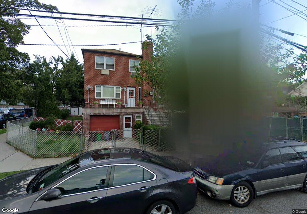
2585 Flint Ave Bronx, NY 10475
Eastchester NeighborhoodEstimated Value: $605,299 - $856,000
--
Bed
--
Bath
1,520
Sq Ft
$484/Sq Ft
Est. Value
About This Home
This home is located at 2585 Flint Ave, Bronx, NY 10475 and is currently estimated at $735,325, approximately $483 per square foot. 2585 Flint Ave is a home located in Bronx County with nearby schools including Cornerstone Academy For Social Action, Baychester Middle School, and One World Middle School At Edenwald.
Ownership History
Date
Name
Owned For
Owner Type
Purchase Details
Closed on
Oct 8, 2009
Sold by
Saleh Ahmed
Bought by
Alkaifi Nagi
Current Estimated Value
Home Financials for this Owner
Home Financials are based on the most recent Mortgage that was taken out on this home.
Original Mortgage
$233,750
Outstanding Balance
$153,102
Interest Rate
5.14%
Mortgage Type
Purchase Money Mortgage
Estimated Equity
$582,223
Purchase Details
Closed on
Aug 21, 1998
Sold by
Monaco Anthony
Bought by
Saleh Ahmed
Home Financials for this Owner
Home Financials are based on the most recent Mortgage that was taken out on this home.
Original Mortgage
$140,000
Interest Rate
6.49%
Create a Home Valuation Report for This Property
The Home Valuation Report is an in-depth analysis detailing your home's value as well as a comparison with similar homes in the area
Home Values in the Area
Average Home Value in this Area
Purchase History
| Date | Buyer | Sale Price | Title Company |
|---|---|---|---|
| Alkaifi Nagi | $500,000 | -- | |
| Saleh Ahmed | $170,000 | The Judicial Title Ins Agenc |
Source: Public Records
Mortgage History
| Date | Status | Borrower | Loan Amount |
|---|---|---|---|
| Open | Alkaifi Nagi | $233,750 | |
| Previous Owner | Saleh Ahmed | $140,000 |
Source: Public Records
Tax History Compared to Growth
Tax History
| Year | Tax Paid | Tax Assessment Tax Assessment Total Assessment is a certain percentage of the fair market value that is determined by local assessors to be the total taxable value of land and additions on the property. | Land | Improvement |
|---|---|---|---|---|
| 2025 | $6,751 | $33,869 | $10,051 | $23,818 |
| 2024 | $6,751 | $33,613 | $9,042 | $24,571 |
| 2023 | $6,440 | $31,711 | $9,103 | $22,608 |
| 2022 | $5,972 | $36,960 | $11,040 | $25,920 |
| 2021 | $5,940 | $34,500 | $11,040 | $23,460 |
| 2020 | $5,974 | $37,020 | $11,040 | $25,980 |
| 2019 | $5,860 | $32,040 | $11,040 | $21,000 |
| 2018 | $5,387 | $26,426 | $8,857 | $17,569 |
| 2017 | $5,082 | $24,931 | $9,719 | $15,212 |
| 2016 | $4,702 | $23,520 | $11,040 | $12,480 |
| 2015 | $3,303 | $25,560 | $11,040 | $14,520 |
| 2014 | $3,303 | $25,560 | $11,040 | $14,520 |
Source: Public Records
Map
Nearby Homes
- 3549 Ropes Ave
- 3511 Mc Owen Ave
- 3550 Huguenot Ave
- 982 Split Rock Rd
- 889 James St
- 839 James St
- 991 Grant Ave
- 973 Plymouth St
- 89 Park Dr
- 668 Francis St
- 1020 Grant Ave
- 78 Oak Ln
- 620 Timpson St
- 15 Saint Pauls Place
- 1091 Hunter Ave
- 3992 Rombouts Ave
- 3735 Rombouts Ave
- 6 Hazen St
- 42 Wildwood Ave
- 3946 Secor Ave
- 2587 Flint Ave
- 2583 Flint Ave
- 2589 Flint Ave
- 651 West St Unit 1B
- 651 West St Unit 2D
- 651 West St Unit 1A
- 651 West St Unit 3B
- 651 West St Unit 3D
- 651 West St Unit 2B
- 651 West St Unit 3A
- 651 West St Unit 2A
- 651 West St Unit 2C
- 2581 Flint Ave
- 2579 Flint Ave
- 2593 Flint Ave
- 2577 Flint Ave
- 0 Flint Ave Unit 4735370
- 2575 Flint Ave
- 2573 Flint Ave
- 2573 Flint Ave Unit 1