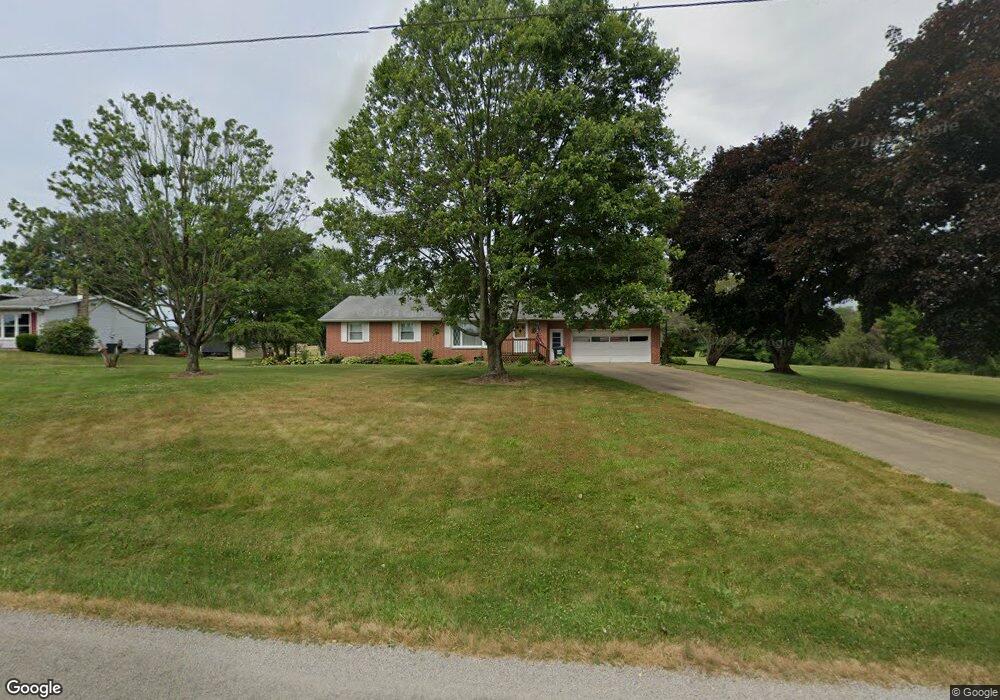
2585 Swallen Ave Louisville, OH 44641
Estimated Value: $238,000 - $262,000
2
Beds
2
Baths
1,316
Sq Ft
$189/Sq Ft
Est. Value
About This Home
This home is located at 2585 Swallen Ave, Louisville, OH 44641 and is currently estimated at $249,103, approximately $189 per square foot. 2585 Swallen Ave is a home located in Stark County with nearby schools including East Canton Elementary School, East Canton Middle School, and East Canton High School.
Ownership History
Date
Name
Owned For
Owner Type
Purchase Details
Closed on
Jul 26, 2024
Sold by
Walpole Amber
Bought by
Hill Jeffrey T
Current Estimated Value
Purchase Details
Closed on
Aug 23, 2013
Sold by
Paumier Helen M
Bought by
Hill Jeffrey T and Walpole Amber
Home Financials for this Owner
Home Financials are based on the most recent Mortgage that was taken out on this home.
Original Mortgage
$126,172
Interest Rate
3.25%
Mortgage Type
FHA
Purchase Details
Closed on
Feb 6, 2001
Sold by
Paumier Helen M
Bought by
Paumier Helen M and Hoskinson Dona Jean
Create a Home Valuation Report for This Property
The Home Valuation Report is an in-depth analysis detailing your home's value as well as a comparison with similar homes in the area
Home Values in the Area
Average Home Value in this Area
Purchase History
| Date | Buyer | Sale Price | Title Company |
|---|---|---|---|
| Hill Jeffrey T | $75,100 | None Listed On Document | |
| Hill Jeffrey T | $128,500 | None Available | |
| Paumier Helen M | -- | -- |
Source: Public Records
Mortgage History
| Date | Status | Borrower | Loan Amount |
|---|---|---|---|
| Previous Owner | Hill Jeffrey T | $126,172 |
Source: Public Records
Tax History Compared to Growth
Tax History
| Year | Tax Paid | Tax Assessment Tax Assessment Total Assessment is a certain percentage of the fair market value that is determined by local assessors to be the total taxable value of land and additions on the property. | Land | Improvement |
|---|---|---|---|---|
| 2025 | -- | $61,810 | $16,170 | $45,640 |
| 2024 | -- | $74,380 | $16,170 | $58,210 |
| 2023 | $1,977 | $52,540 | $11,690 | $40,850 |
| 2022 | $1,934 | $52,540 | $11,690 | $40,850 |
| 2021 | $1,941 | $52,540 | $11,690 | $40,850 |
| 2020 | $1,922 | $47,360 | $10,680 | $36,680 |
| 2019 | $1,885 | $47,360 | $10,680 | $36,680 |
| 2018 | $1,867 | $47,360 | $10,680 | $36,680 |
| 2017 | $1,789 | $41,550 | $11,200 | $30,350 |
| 2016 | $1,799 | $41,550 | $11,200 | $30,350 |
| 2015 | $1,815 | $41,550 | $11,200 | $30,350 |
| 2014 | $1,716 | $35,780 | $9,630 | $26,150 |
| 2013 | $650 | $35,780 | $9,630 | $26,150 |
Source: Public Records
Map
Nearby Homes
- 3390 Meese Rd NE
- 1990 Belfort Ave
- 8225 Georgetown St
- 2110 Edmar St
- 908 Sand Lot Cir
- 1812 E Broad St
- 1715 High St
- 2425 Miday Ave NE
- 641 S Nickelplate St
- 2015 E Main St
- 520 S Silver St
- 1702 View Pointe Ave
- 308 Superior St
- 728 E Broad St
- 1639 Horizon Dr
- 0 Michigan Blvd
- 510 S Bauman Ct
- 204 E Broad St
- 6969 Georgetown St NE
- 107 E Broad St
- 2577 Swallen Ave
- 2555 Swallen Ave
- 2537 Swallen Ave
- 9999 Swallen Ave
- 2699 Swallen Ave
- 2519 Swallen Ave
- 2628 Swallen Ave
- 2491 Swallen Ave
- 2753 Swallen Ave
- 2752 Swallen Ave
- 2444 Swallen Ave
- 9600 Georgetown St
- 2438 Swallen Ave
- 2790 Swallen Ave
- 9602 Georgetown St
- 9393 Georgetown St
- 2825 Swallen Ave
- 9414 Georgetown St
- 9666 Georgetown St
- 9585 Georgetown St