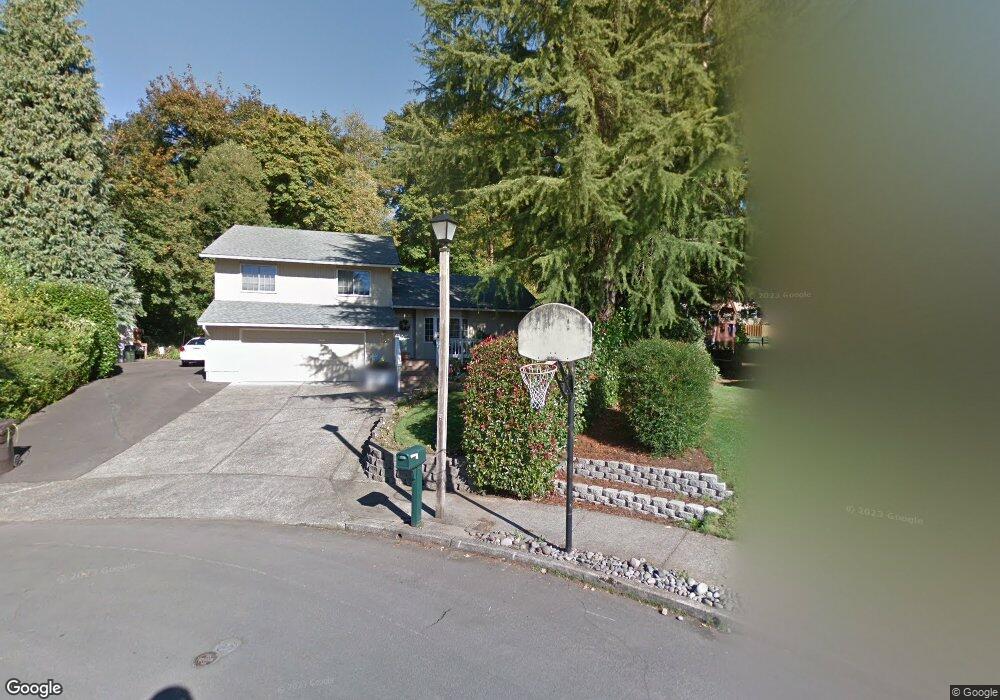
2585 Troy Ct West Linn, OR 97068
Willamette NeighborhoodEstimated Value: $670,000 - $695,000
3
Beds
2
Baths
1,811
Sq Ft
$376/Sq Ft
Est. Value
About This Home
This home is located at 2585 Troy Ct, West Linn, OR 97068 and is currently estimated at $680,438, approximately $375 per square foot. 2585 Troy Ct is a home located in Clackamas County with nearby schools including Willamette Primary School, Athey Creek Middle School, and West Linn High School.
Ownership History
Date
Name
Owned For
Owner Type
Purchase Details
Closed on
Apr 21, 2006
Sold by
Neilson Curtis T and Neilson Jeanne K
Bought by
Gordon Roger M and Gordon Doris M
Current Estimated Value
Home Financials for this Owner
Home Financials are based on the most recent Mortgage that was taken out on this home.
Original Mortgage
$271,960
Outstanding Balance
$150,963
Interest Rate
5.87%
Mortgage Type
Purchase Money Mortgage
Estimated Equity
$529,475
Purchase Details
Closed on
Jan 14, 1999
Sold by
Young Franklin R and Young Linda J
Bought by
Neilson Curtis T and Neilson Jeanne K
Home Financials for this Owner
Home Financials are based on the most recent Mortgage that was taken out on this home.
Original Mortgage
$167,900
Interest Rate
6.66%
Create a Home Valuation Report for This Property
The Home Valuation Report is an in-depth analysis detailing your home's value as well as a comparison with similar homes in the area
Home Values in the Area
Average Home Value in this Area
Purchase History
| Date | Buyer | Sale Price | Title Company |
|---|---|---|---|
| Gordon Roger M | $339,950 | First American | |
| Neilson Curtis T | $209,900 | Fidelity National Title Co |
Source: Public Records
Mortgage History
| Date | Status | Borrower | Loan Amount |
|---|---|---|---|
| Open | Gordon Roger M | $271,960 | |
| Previous Owner | Neilson Curtis T | $167,900 |
Source: Public Records
Tax History Compared to Growth
Tax History
| Year | Tax Paid | Tax Assessment Tax Assessment Total Assessment is a certain percentage of the fair market value that is determined by local assessors to be the total taxable value of land and additions on the property. | Land | Improvement |
|---|---|---|---|---|
| 2025 | $6,171 | $320,231 | -- | -- |
| 2024 | $5,940 | $310,904 | -- | -- |
| 2023 | $5,940 | $301,849 | $0 | $0 |
| 2022 | $5,607 | $293,058 | $0 | $0 |
| 2021 | $5,323 | $284,523 | $0 | $0 |
| 2020 | $5,171 | $266,541 | $0 | $0 |
| 2019 | $4,931 | $258,778 | $0 | $0 |
| 2018 | $4,711 | $251,241 | $0 | $0 |
| 2017 | $4,528 | $243,923 | $0 | $0 |
| 2016 | $4,411 | $236,818 | $0 | $0 |
| 2015 | $4,216 | $229,920 | $0 | $0 |
| 2014 | $4,022 | $223,223 | $0 | $0 |
Source: Public Records
Map
Nearby Homes
- 2584 Wisteria Ct
- 2492 Donegal Ct
- 2420 Margery St
- 2540 Kilkenny Ct
- 2485 Tipperary Ct
- 1332 S Woodbine Rd
- 22998 Bland Cir
- 22994 Bland Cir
- 22990 Bland Cir
- 1640 Village Park Place
- 2050 Alpine Dr
- 2134 Eleanor Rd
- Allstone Plan at Savannah Summit
- Milton Plan at Savannah Summit
- 23000 Bland Cir
- 3135 Summerlinn Dr Unit 40
- 1101 Ryan Ct
- 3395 Summerlinn Dr Unit 24
- 6840 Summerlinn Way Unit 93
- 6735 Summerlinn Way Unit 87