Estimated Value: $200,000 - $268,000
--
Bed
--
Bath
1,632
Sq Ft
$146/Sq Ft
Est. Value
About This Home
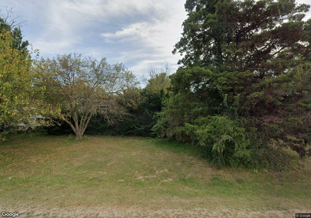
This home is located at 25867 Joe Knight Rd, Dow, IL 62022 and is currently estimated at $238,942, approximately $146 per square foot. 25867 Joe Knight Rd is a home located in Jersey County with nearby schools including Jersey Community High School.
Ownership History
Date
Name
Owned For
Owner Type
Purchase Details
Closed on
Jun 30, 2021
Sold by
Britt Linda K
Bought by
Britt Stephen A
Current Estimated Value
Purchase Details
Closed on
Nov 13, 2014
Sold by
Donald Donald and Maness Christine
Bought by
Cummings Richard and Cummings Melinda
Purchase Details
Closed on
Jun 19, 2009
Sold by
Cummings Richard and Cummings Melinda
Bought by
Maness Donald A and Maness Christine A
Purchase Details
Closed on
Aug 25, 2008
Sold by
Maness Donald A
Bought by
Cummings Richard and Cummings Melinda
Purchase Details
Closed on
Jun 13, 2008
Sold by
Maness Donald and Maness Frank
Bought by
Cummings Richard and Cummings Melinda
Create a Home Valuation Report for This Property
The Home Valuation Report is an in-depth analysis detailing your home's value as well as a comparison with similar homes in the area
Home Values in the Area
Average Home Value in this Area
Purchase History
| Date | Buyer | Sale Price | Title Company |
|---|---|---|---|
| Britt Stephen A | -- | None Available | |
| Cummings Richard | -- | -- | |
| Maness Donald A | -- | -- | |
| Cummings Richard | -- | -- | |
| Cummings Richard | -- | -- |
Source: Public Records
Tax History Compared to Growth
Tax History
| Year | Tax Paid | Tax Assessment Tax Assessment Total Assessment is a certain percentage of the fair market value that is determined by local assessors to be the total taxable value of land and additions on the property. | Land | Improvement |
|---|---|---|---|---|
| 2024 | $1,606 | $69,390 | $9,560 | $59,830 |
| 2023 | $1,657 | $63,080 | $8,690 | $54,390 |
| 2022 | $1,727 | $58,950 | $8,120 | $50,830 |
| 2021 | $1,748 | $57,935 | $7,980 | $49,955 |
| 2020 | $1,796 | $54,655 | $7,530 | $47,125 |
| 2019 | $1,796 | $53,455 | $7,365 | $46,090 |
| 2018 | $1,765 | $53,455 | $7,365 | $46,090 |
| 2017 | $1,837 | $43,250 | $7,310 | $35,940 |
| 2016 | $1,858 | $43,250 | $7,310 | $35,940 |
| 2015 | -- | $43,250 | $7,310 | $35,940 |
| 2014 | -- | $43,315 | $8,430 | $34,885 |
Source: Public Records
Map
Nearby Homes
- 0 Nellies Ridge
- 25493 State Highway 3
- 0 Cornelius Ln
- 17407 State Highway 109
- 23850 Green Acres Rd
- 25561 Beltrees Rd
- 23452 Apple Tree Ln
- 12730 Inwood Ln
- 0 Penn St Unit MIS25062811
- 30370 Domino Ln
- 3 Lockhaven Estates
- 14865 Willow St
- 0 Willow St Unit MAR25030443
- 13011 Teal Ln
- 4 Lockhaven Estates
- 26641 Lockhaven Hill
- 8815 Godfrey Rd
- 29995 Mitchell Creek Rd
- 117 S Hamilton St
- 3808 Stanka Ln
- 25833 Joe Knight Rd
- 25753 Joe Knight Rd
- 15427 State Highway 109
- 15481 State Highway 109
- 15362 Maness Ln
- 15334 Maness Ln
- 15355 State Highway 109
- 15314 Maness Ln
- 15281 Illinois 109
- 25806 Nellies Ridge
- 25802 Nellies Ridge
- 15755 State Highway 109
- 15755 State Highway 109
- 15755 State Highway 109
- 15755 State Highway 109
- 15755 State Highway 109
- 25730 Kensington Knoll
- 15278 Roberts Ln
- 25728 Kensington Knoll
- 19TBB Kensington Knoll
