2587 Katsura Ln Unit 108 Howell, MI 48855
Estimated Value: $321,944 - $419,000
3
Beds
3
Baths
1,830
Sq Ft
$193/Sq Ft
Est. Value
About This Home
This home is located at 2587 Katsura Ln Unit 108, Howell, MI 48855 and is currently estimated at $352,486, approximately $192 per square foot. 2587 Katsura Ln Unit 108 is a home located in Livingston County with nearby schools including Ruahmah J. Hutchings Elementary, Parker Middle School, and Howell High School.
Ownership History
Date
Name
Owned For
Owner Type
Purchase Details
Closed on
Jul 24, 2002
Sold by
Gd Communities Llc
Bought by
Mccown David A and Mccown Cheryl
Current Estimated Value
Home Financials for this Owner
Home Financials are based on the most recent Mortgage that was taken out on this home.
Original Mortgage
$188,200
Outstanding Balance
$79,725
Interest Rate
6.7%
Estimated Equity
$272,761
Purchase Details
Closed on
Dec 19, 2001
Sold by
M & 59 Inc
Bought by
G D Communities Llc
Create a Home Valuation Report for This Property
The Home Valuation Report is an in-depth analysis detailing your home's value as well as a comparison with similar homes in the area
Home Values in the Area
Average Home Value in this Area
Purchase History
| Date | Buyer | Sale Price | Title Company |
|---|---|---|---|
| Mccown David A | $198,131 | Philip R Seaver Title Co Inc | |
| G D Communities Llc | $24,287 | -- |
Source: Public Records
Mortgage History
| Date | Status | Borrower | Loan Amount |
|---|---|---|---|
| Open | Mccown David A | $188,200 |
Source: Public Records
Tax History Compared to Growth
Tax History
| Year | Tax Paid | Tax Assessment Tax Assessment Total Assessment is a certain percentage of the fair market value that is determined by local assessors to be the total taxable value of land and additions on the property. | Land | Improvement |
|---|---|---|---|---|
| 2025 | $1,307 | $144,700 | $0 | $0 |
| 2024 | $1,270 | $146,800 | $0 | $0 |
| 2023 | $1,213 | $131,400 | $0 | $0 |
| 2022 | $1,023 | $105,200 | $0 | $0 |
| 2021 | $2,122 | $114,000 | $0 | $0 |
| 2020 | $2,119 | $105,200 | $0 | $0 |
| 2019 | $2,117 | $92,700 | $0 | $0 |
| 2018 | $2,160 | $87,700 | $0 | $0 |
| 2017 | $2,054 | $86,400 | $0 | $0 |
| 2016 | $2,014 | $81,300 | $0 | $0 |
| 2014 | $2,291 | $70,600 | $0 | $0 |
| 2012 | $2,291 | $63,700 | $0 | $0 |
Source: Public Records
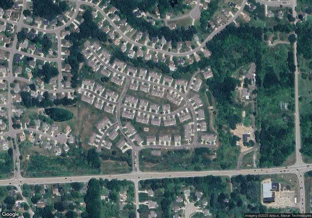
Map
Nearby Homes
- 1570 Princewood Blvd
- 2511 Kerria Dr Unit 42
- 1633 Frech Ln
- 1400 Oakcrest Rd
- 3040 Bogues View Dr
- 475 Cannonade Loop
- 559 Cannonade Loop
- 571 Cannonade Loop
- 523 Cannonade Loop
- 583 Cannonade Loop
- The Austin Plan at Broadmoor
- The Charlotte Plan at Broadmoor
- The Harrison Plan at Broadmoor
- The Bloomington Plan at Broadmoor
- The Columbia Plan at Broadmoor
- VACANT LOT Thompson Shore Dr
- 3224 Waverly Woods Ln
- 3227 Waverly Woods Ln
- 2653 Ravine Side N
- 2700 Court Ln N
- 2583 Katsura Ln Unit 107
- 2605 Katsura Ln Unit Bldg-Unit
- 2605 Katsura Ln Unit 105
- 2577 Katsura Ln Unit 110
- 2609 Katsura Ln Unit 106
- 2580 Kerria Dr Unit 119
- 2584 Kerria Dr Unit 120
- 2576 Kerria Dr Unit 118
- 2588 Katsura Ln Unit 97
- 2573 Katsura Ln Unit 109
- 2592 Katsura Ln Unit 98
- 2582 Katsura Ln Unit 96
- 2592 Kerria Dr Unit 121
- 2578 Katsura Ln Unit 95
- 2574 Katsura Ln Unit 94
- 2596 Kerria Dr Unit 122
- 2602 Katsura Ln Unit 99
- 2606 Katsura Ln Unit 1, 100
- 2606 Katsura Ln Unit 1
- 2600 Kerria Dr Unit 123