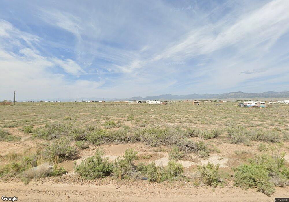
25870 Hazard Cir Moffat, CO 81143
Estimated Value: $52,000 - $165,000
--
Bed
--
Bath
--
Sq Ft
1.1
Acres
About This Home
This home is located at 25870 Hazard Cir, Moffat, CO 81143 and is currently estimated at $99,000. 25870 Hazard Cir is a home located in Saguache County with nearby schools including Mountain Valley Elementary School, Mountain Valley School, and Mountain Valley Middle School.
Ownership History
Date
Name
Owned For
Owner Type
Purchase Details
Closed on
Nov 6, 2024
Sold by
Brown Steven W
Bought by
Pugliese Anthony
Current Estimated Value
Purchase Details
Closed on
Dec 14, 2023
Sold by
Saguache County
Bought by
Massie Mark David and Massie Patricia Lee
Purchase Details
Closed on
Aug 11, 1997
Sold by
Evans Mary Jane
Bought by
Evans Dana Wayne
Purchase Details
Closed on
Apr 2, 1984
Sold by
Fn Realty Services
Bought by
Evans Dana Wayne and Evans Mary Jane
Create a Home Valuation Report for This Property
The Home Valuation Report is an in-depth analysis detailing your home's value as well as a comparison with similar homes in the area
Home Values in the Area
Average Home Value in this Area
Purchase History
| Date | Buyer | Sale Price | Title Company |
|---|---|---|---|
| Pugliese Anthony | $19,000 | None Listed On Document | |
| Massie Mark David | $210 | None Listed On Document | |
| Evans Dana Wayne | $600 | -- | |
| Evans Dana Wayne | $5,000 | -- |
Source: Public Records
Tax History Compared to Growth
Tax History
| Year | Tax Paid | Tax Assessment Tax Assessment Total Assessment is a certain percentage of the fair market value that is determined by local assessors to be the total taxable value of land and additions on the property. | Land | Improvement |
|---|---|---|---|---|
| 2024 | $187 | $2,316 | $2,316 | $0 |
| 2023 | $187 | $2,316 | $2,316 | $0 |
| 2022 | $106 | $1,305 | $1,305 | $0 |
| 2021 | $106 | $1,305 | $1,305 | $0 |
| 2020 | $94 | $1,160 | $1,160 | $0 |
| 2019 | $95 | $1,160 | $1,160 | $0 |
| 2018 | $72 | $870 | $870 | $0 |
| 2017 | $72 | $870 | $870 | $0 |
| 2015 | -- | $1,160 | $0 | $0 |
| 2014 | -- | $1,682 | $0 | $0 |
| 2013 | -- | $1,682 | $0 | $0 |
Source: Public Records
Map
Nearby Homes
- 25678 Hazard Cir
- 25614 Crosby Ave
- 25586 Crosby Ave
- 25732 Wilhite Ave
- 25691 Hazard Cir
- 26027 Woodard Ave
- 26111 Woodard Ave
- 58449 Barela Dr
- 58353 Barela Dr
- 26278 Woodard Ave
- 57510 & 57548 Hazard Ave
- 58097 Barela Dr
- 57860 Hazard Ave
- 25733 Ford Ave
- numerous Betty Lee and Barbara J Dr
- 57871 Tina C Dr
- 58086 Betty Lee Dr
- 57725,57755, + Betty Lee Dr
- 57259 Betty Lee Dr
- 57213 & 57259 Eva K Dr
- 25878 Hazard Cir
- 25854 Hazard Cir
- 59435 Baber Dr
- 25848 Crosby Ave
- 25936 Crosby
- 25936 Crosby Ave
- 25805 Hazard Cir
- 25788 Wilhite Ave
- 0 Wilhite Ave Unit 724585
- 25874/2590 Wilhite Ave
- 59284 Beaver Rd
- 25797 Hazard Cir
- 0 Baber Dr Unit 693707
- 25903 Wilhite Ave
- 25874 Wilhite Ave
- 25874/25902 Wilhite Ave
- 25902 Wilhite Ave
- 25789 Hazard Cir
- 25670 Wilhite Ave
- 59216 Hazard (Cr Cc) Ave
