25885 Rayban Ln Waynesville, MO 65583
Estimated Value: $215,000 - $280,000
3
Beds
2
Baths
1,756
Sq Ft
$139/Sq Ft
Est. Value
About This Home
This home is located at 25885 Rayban Ln, Waynesville, MO 65583 and is currently estimated at $243,285, approximately $138 per square foot. 25885 Rayban Ln is a home located in Pulaski County with nearby schools including Laquey R-V Elementary School, Laquey R-V Middle School, and Laquey R-V High School.
Create a Home Valuation Report for This Property
The Home Valuation Report is an in-depth analysis detailing your home's value as well as a comparison with similar homes in the area
Home Values in the Area
Average Home Value in this Area
Tax History
| Year | Tax Paid | Tax Assessment Tax Assessment Total Assessment is a certain percentage of the fair market value that is determined by local assessors to be the total taxable value of land and additions on the property. | Land | Improvement |
|---|---|---|---|---|
| 2025 | $994 | $26,885 | $7,317 | $19,568 |
| 2024 | $994 | $23,886 | $6,097 | $17,789 |
| 2023 | $994 | $23,886 | $6,097 | $17,789 |
| 2022 | $922 | $23,886 | $6,097 | $17,789 |
| 2021 | $922 | $23,886 | $6,097 | $17,789 |
| 2020 | $751 | $20,989 | $0 | $0 |
| 2019 | $750 | $19,361 | $0 | $0 |
| 2018 | $752 | $19,361 | $0 | $0 |
| 2017 | $752 | $21,242 | $0 | $0 |
| 2016 | $752 | $19,360 | $0 | $0 |
| 2015 | $751 | $19,360 | $0 | $0 |
| 2014 | $751 | $19,360 | $0 | $0 |
Source: Public Records
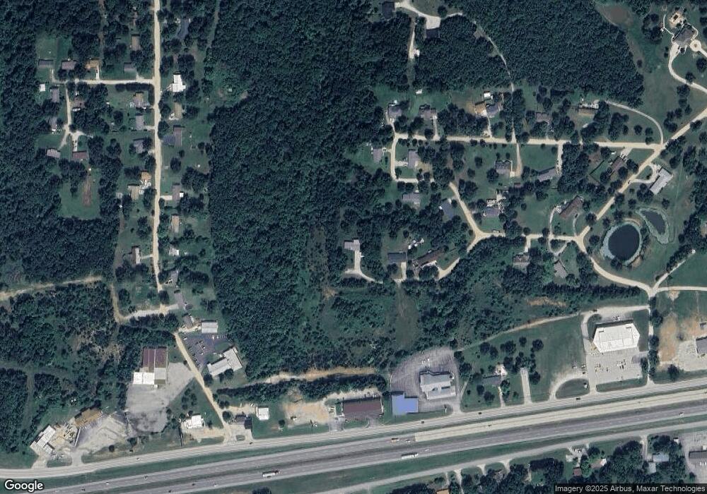
Map
Nearby Homes
- 25715 Missouri 17
- 25715 Missouri 17 Unit 25625
- 22818 Spruce Rd
- 000 Firehouse Dr
- 198 Firehouse Dr
- 1 Firehouse Dr
- 26184 Silver Ln
- 139 Lyle Curtis Cir
- 113 Mary Catherine
- 23985 Richland Ln
- 21705 Rudolph Rd
- 137 Mary Catherine
- 166 Jared St
- 122 Page St
- 180 Jared St
- 182 Jared St
- 27180 State Highway Nn
- 24155 Red Oak Rd
- 0 Lot 16 Westwinds S D Unit MAR25013085
- 27110 Stoddard Dr
- 25871 Rayban Ln
- 22720 Ralston Ln
- 25815 Rayban Ln
- 22740 Ralston Ln
- 22710 Ralston Ln
- 22747 Ralston Ln
- 0 Rayban Ln
- 22705 Ralston Ln
- 22635 Roxie Ln
- 22625 Roxie Ln
- 22620 Roxie Ln
- 22640 Ralston Ln
- 25700 Rocky Mount Ln
- 25800 Rocky Mount Ln
- 22615 Roxie Ln
- 25676 Rocky Mount Ln
- 25766 Rocky Mount Ln
- 25784 Rocky Mount Ln
- 25675 Highway 17
- 25805 Missouri 17
Your Personal Tour Guide
Ask me questions while you tour the home.