Estimated Value: $566,806 - $627,000
6
Beds
3
Baths
2,750
Sq Ft
$216/Sq Ft
Est. Value
About This Home
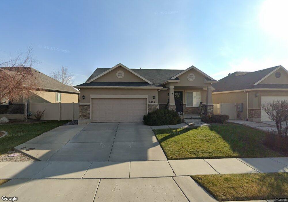
This home is located at 2589 W 2400 N, Lehi, UT 84043 and is currently estimated at $593,952, approximately $215 per square foot. 2589 W 2400 N is a home located in Utah County with nearby schools including Liberty Hills Elementary School, Skyridge High School, and Ascent Academies of Utah - Lehi Campus.
Ownership History
Date
Name
Owned For
Owner Type
Purchase Details
Closed on
Feb 13, 2013
Sold by
Thomsen Paul R and Thomsen Brookelle
Bought by
Siepert Galand M and Siepert Ashley M
Current Estimated Value
Home Financials for this Owner
Home Financials are based on the most recent Mortgage that was taken out on this home.
Original Mortgage
$244,150
Outstanding Balance
$169,724
Interest Rate
3.29%
Mortgage Type
New Conventional
Estimated Equity
$424,228
Purchase Details
Closed on
Oct 17, 2007
Sold by
Ivory Homes Ltd
Bought by
Thomsen Paul R and Thomsen Brookelle
Home Financials for this Owner
Home Financials are based on the most recent Mortgage that was taken out on this home.
Original Mortgage
$51,722
Interest Rate
6.29%
Mortgage Type
Credit Line Revolving
Create a Home Valuation Report for This Property
The Home Valuation Report is an in-depth analysis detailing your home's value as well as a comparison with similar homes in the area
Home Values in the Area
Average Home Value in this Area
Purchase History
| Date | Buyer | Sale Price | Title Company |
|---|---|---|---|
| Siepert Galand M | -- | Title Guarantee | |
| Thomsen Paul R | -- | Cottonwood Title Insurance | |
| Ivory Homes Ltd | -- | Cottonwood Title Insurance |
Source: Public Records
Mortgage History
| Date | Status | Borrower | Loan Amount |
|---|---|---|---|
| Open | Siepert Galand M | $244,150 | |
| Previous Owner | Ivory Homes Ltd | $51,722 | |
| Previous Owner | Thomsen Paul R | $206,888 |
Source: Public Records
Tax History Compared to Growth
Tax History
| Year | Tax Paid | Tax Assessment Tax Assessment Total Assessment is a certain percentage of the fair market value that is determined by local assessors to be the total taxable value of land and additions on the property. | Land | Improvement |
|---|---|---|---|---|
| 2025 | $2,363 | $292,820 | $203,200 | $329,200 |
| 2024 | $2,363 | $276,540 | $0 | $0 |
| 2023 | $2,224 | $282,645 | $0 | $0 |
| 2022 | $2,366 | $291,445 | $0 | $0 |
| 2021 | $2,127 | $396,100 | $117,600 | $278,500 |
| 2020 | $2,006 | $369,200 | $108,900 | $260,300 |
| 2019 | $1,771 | $338,900 | $108,900 | $230,000 |
| 2018 | $1,794 | $324,600 | $102,700 | $221,900 |
| 2017 | $1,681 | $161,645 | $0 | $0 |
| 2016 | $1,715 | $153,065 | $0 | $0 |
| 2015 | $1,767 | $149,655 | $0 | $0 |
| 2014 | $1,556 | $131,010 | $0 | $0 |
Source: Public Records
Map
Nearby Homes
- 2464 W 2250 N
- 2189 N 2600 W
- 2196 N 2350 W
- 2673 N Double Eagle Dr
- 2419 N 3130 W
- Huntington Plan at Pioneer Meadows
- Silver Lake Plan at Pioneer Meadows
- Summit Plan at Pioneer Meadows
- Palisade Plan at Pioneer Meadows
- 1968 N 2040 W Unit 40
- 1990 N 2040 W
- 1990 N 2040 W Unit 41
- 2669 N Turnberry Ct
- 3199 W 2450 N
- 3217 W 2450 N
- 2424 N Lazy j Ln
- 2384 N Lazy j Ln
- 2886 Desert Forest Ln
- 1970 N 2090 St W
- 1912 W 2250 N