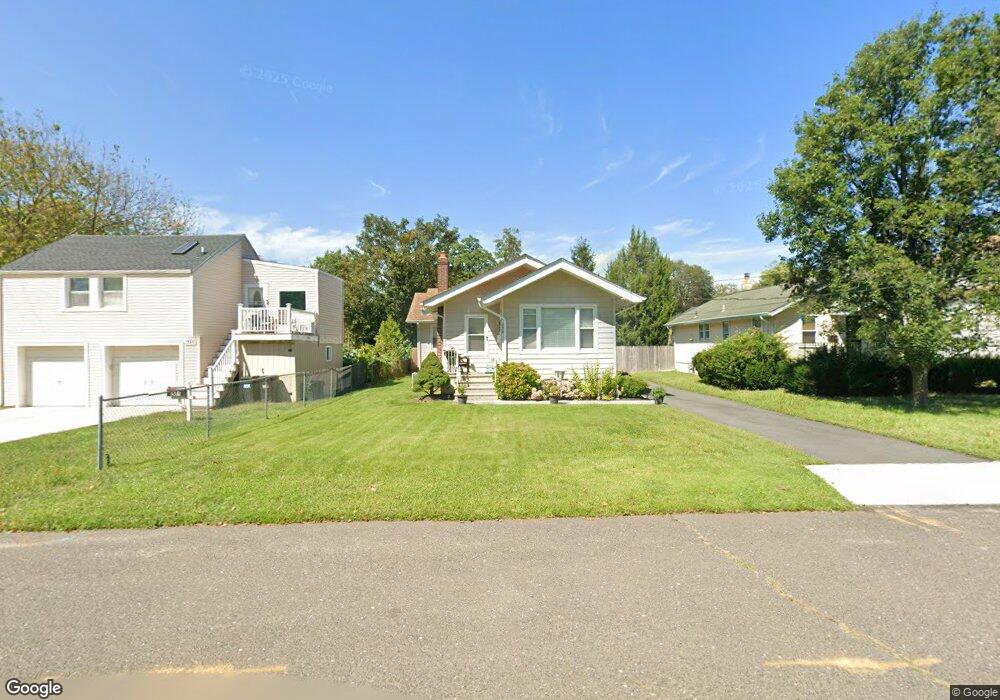
259 Allen Place Long Branch, NJ 07740
Estimated Value: $486,000 - $1,037,000
2
Beds
1
Bath
1,328
Sq Ft
$488/Sq Ft
Est. Value
About This Home
This home is located at 259 Allen Place, Long Branch, NJ 07740 and is currently estimated at $648,157, approximately $488 per square foot. 259 Allen Place is a home located in Monmouth County with nearby schools including Long Branch High School and Holy Trinity School.
Ownership History
Date
Name
Owned For
Owner Type
Purchase Details
Closed on
Nov 21, 2022
Sold by
Vieira Mario R and Vieira Linda
Bought by
Zafarani Sandra
Current Estimated Value
Purchase Details
Closed on
Dec 15, 2011
Sold by
Federal National Mortgage Association
Bought by
Vieira Mario R and Vieira Linda
Purchase Details
Closed on
Jan 11, 2011
Sold by
Sanderson Robert and Sanderson Theresa
Bought by
Federal National Mortgage Association
Create a Home Valuation Report for This Property
The Home Valuation Report is an in-depth analysis detailing your home's value as well as a comparison with similar homes in the area
Home Values in the Area
Average Home Value in this Area
Purchase History
| Date | Buyer | Sale Price | Title Company |
|---|---|---|---|
| Zafarani Sandra | $900,000 | Fidelity National Title | |
| Zafarani Sandra | $900,000 | Fidelity National Title | |
| Vieira Mario R | $98,000 | Old Republic National Title | |
| Federal National Mortgage Association | -- | None Available |
Source: Public Records
Tax History Compared to Growth
Tax History
| Year | Tax Paid | Tax Assessment Tax Assessment Total Assessment is a certain percentage of the fair market value that is determined by local assessors to be the total taxable value of land and additions on the property. | Land | Improvement |
|---|---|---|---|---|
| 2025 | $6,794 | $471,600 | $251,400 | $220,200 |
| 2024 | $6,094 | $442,000 | $231,400 | $210,600 |
| 2023 | $6,094 | $392,400 | $191,400 | $201,000 |
| 2022 | $5,387 | $315,700 | $138,600 | $177,100 |
| 2021 | $5,387 | $269,200 | $103,600 | $165,600 |
| 2020 | $5,336 | $255,300 | $90,600 | $164,700 |
| 2019 | $5,120 | $243,600 | $86,600 | $157,000 |
| 2018 | $4,987 | $235,900 | $84,600 | $151,300 |
| 2017 | $4,761 | $231,000 | $82,600 | $148,400 |
| 2016 | $4,814 | $238,200 | $93,600 | $144,600 |
| 2015 | $4,078 | $183,100 | $65,800 | $117,300 |
| 2014 | $3,958 | $187,300 | $83,200 | $104,100 |
Source: Public Records
Map
Nearby Homes
- 211 Rockwell Ave
- 184 N 5th Ave
- 190 Spruce St Unit 4
- 151 N 5th Ave
- 392 Florence Ave
- 148 Sixth Ave
- 323 Florence Ave
- 401 Joline Ave
- 188 Chelton Ave
- 40 University Dr
- 172 Chelton Ave
- 222 Coleman Ave
- 164 Airsdale Ave
- 28 Patten Ln
- 154 Atlantic Ave
- 231 Long Branch Ave
- 15 Signal Ave
- 138 Rosewood Ave
- 165 Kingsley St
- 381 Long Branch Ave
- 257 Allen Place
- 299 Rockwell Ave
- 255 Allen Place
- 295 Rockwell Ave
- 305 Rockwell Ave
- 253 Allen Place
- 260 Atlantic Ave
- 258 Atlantic Ave
- 254 Allen Place
- 245 Allen Place
- 283 Rockwell Ave
- 307 Rockwell Ave
- 256 Atlantic Ave
- 250 Allen Place
- 241 Allen Place
- 275 Rockwell Ave
- 246 Allen Place
- 300 Rockwell Ave
- 302 Rockwell Ave
- 296 Rockwell Ave