259 Brestle Ln Weirton, WV 26062
Estimated Value: $282,000 - $355,560
3
Beds
2
Baths
2,247
Sq Ft
$144/Sq Ft
Est. Value
About This Home
This home is located at 259 Brestle Ln, Weirton, WV 26062 and is currently estimated at $323,140, approximately $143 per square foot. 259 Brestle Ln is a home located in Hancock County.
Ownership History
Date
Name
Owned For
Owner Type
Purchase Details
Closed on
Nov 4, 2020
Sold by
Martin Megan R
Bought by
Martin Mark D
Current Estimated Value
Purchase Details
Closed on
Dec 18, 2007
Sold by
Kozares Paula K
Bought by
Martin Mark D and Martin Megan R
Home Financials for this Owner
Home Financials are based on the most recent Mortgage that was taken out on this home.
Original Mortgage
$227,000
Outstanding Balance
$143,682
Interest Rate
6.3%
Mortgage Type
New Conventional
Estimated Equity
$179,458
Create a Home Valuation Report for This Property
The Home Valuation Report is an in-depth analysis detailing your home's value as well as a comparison with similar homes in the area
Home Values in the Area
Average Home Value in this Area
Purchase History
| Date | Buyer | Sale Price | Title Company |
|---|---|---|---|
| Martin Mark D | -- | None Available | |
| Martin Mark D | $227,000 | None Available |
Source: Public Records
Mortgage History
| Date | Status | Borrower | Loan Amount |
|---|---|---|---|
| Open | Martin Mark D | $227,000 |
Source: Public Records
Tax History Compared to Growth
Tax History
| Year | Tax Paid | Tax Assessment Tax Assessment Total Assessment is a certain percentage of the fair market value that is determined by local assessors to be the total taxable value of land and additions on the property. | Land | Improvement |
|---|---|---|---|---|
| 2024 | $1,418 | $111,590 | $18,050 | $93,540 |
| 2023 | $1,424 | $113,870 | $18,230 | $95,640 |
| 2022 | $1,478 | $113,870 | $18,230 | $95,640 |
| 2021 | $1,447 | $111,110 | $17,930 | $93,180 |
| 2020 | $1,367 | $105,410 | $16,010 | $89,400 |
| 2019 | $1,434 | $108,950 | $15,410 | $93,540 |
| 2018 | $1,390 | $105,170 | $14,330 | $90,840 |
| 2017 | $1,326 | $99,290 | $12,050 | $87,240 |
| 2016 | $1,318 | $98,700 | $11,460 | $87,240 |
| 2015 | $1,176 | $93,650 | $10,860 | $82,790 |
| 2014 | $1,176 | $92,090 | $11,520 | $80,570 |
Source: Public Records
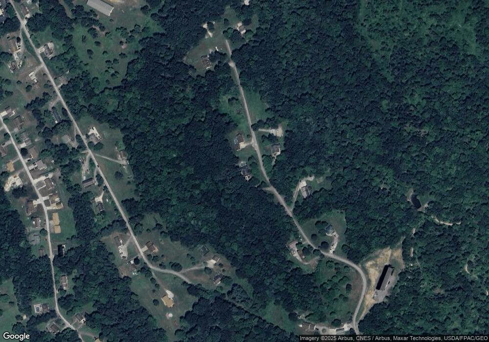
Map
Nearby Homes
- TBD Anderson Ln
- TBD Bryden Rd
- 230 Bryden Rd
- 499 Finance Rd
- 2224 Hudson Hill Rd
- 0 Wagner Way
- 2364 Hudson Hill Rd
- 131 Theresa Dr
- 0 Wylie Ridge Rd Unit 5134114
- 953 Shady Glen Rd
- 51 Hudson Hill Rd
- 268 Kingsview Dr
- 138 Marsha St
- 843 Rainey Hill Rd
- 214 Basil Dr
- 330 Patricia Ave
- 0 Holberts Run Rd
- 73 Hemlock Ln
- 445 N 20th St
- VL Eagle Mountain Estate
- 289 Brestle Ln
- 258 Brestle Ln
- 204 Brestle Ln
- 139 Brestle Ln
- 124 Brestle Ln
- 477 Swearingen Rd
- 477 Swearingen Rd
- 383 Brestle Ln
- 417 Swearingen Rd
- 417 Swearingen Rd
- 418 Swearingen Rd
- 410 Brestle Ln
- 410 Brestle Ln
- 396 Swearingen Rd
- 320 Swearingen Rd
- 438 Swearingen Rd
- 267 Swearingen Rd
- 267 Swearingen Rd
- 267 Swearingen Rd
- 267 Swearingen Rd