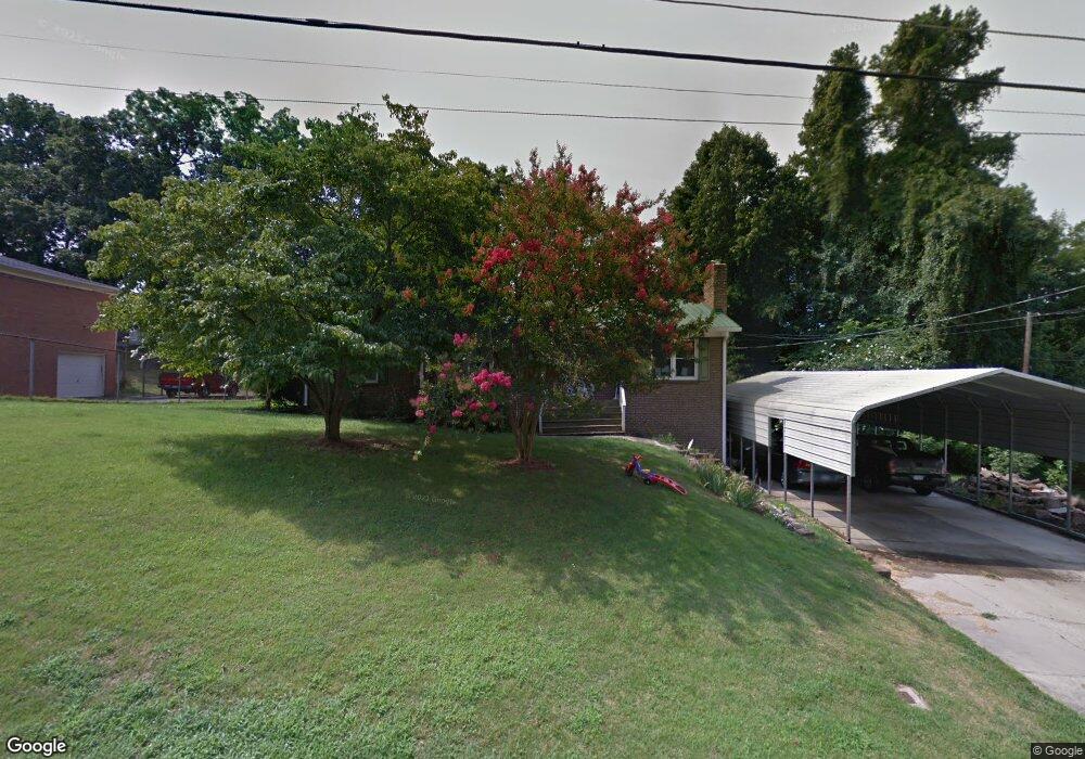
259 Briarcliff Dr Kannapolis, NC 28081
Estimated Value: $318,000 - $332,795
3
Beds
2
Baths
3,232
Sq Ft
$101/Sq Ft
Est. Value
About This Home
This home is located at 259 Briarcliff Dr, Kannapolis, NC 28081 and is currently estimated at $324,949, approximately $100 per square foot. 259 Briarcliff Dr is a home located in Cabarrus County with nearby schools including Winecoff Elementary School, Northwest Cabarrus Middle School, and Northwest Cabarrus High.
Ownership History
Date
Name
Owned For
Owner Type
Purchase Details
Closed on
Jun 22, 2016
Sold by
Love Richard W and Love Elizabeth
Bought by
Long Richard Dale and Long Ribin Annette
Current Estimated Value
Home Financials for this Owner
Home Financials are based on the most recent Mortgage that was taken out on this home.
Original Mortgage
$136,500
Outstanding Balance
$110,982
Interest Rate
4.25%
Mortgage Type
Adjustable Rate Mortgage/ARM
Estimated Equity
$213,967
Purchase Details
Closed on
Jul 27, 2007
Sold by
Eddings Edward and Eddings Joyce
Bought by
Love Richard W and Love Elizabeth
Home Financials for this Owner
Home Financials are based on the most recent Mortgage that was taken out on this home.
Original Mortgage
$151,700
Interest Rate
6.71%
Mortgage Type
FHA
Create a Home Valuation Report for This Property
The Home Valuation Report is an in-depth analysis detailing your home's value as well as a comparison with similar homes in the area
Home Values in the Area
Average Home Value in this Area
Purchase History
| Date | Buyer | Sale Price | Title Company |
|---|---|---|---|
| Long Richard Dale | $134,500 | None Available | |
| Love Richard W | $153,000 | None Available |
Source: Public Records
Mortgage History
| Date | Status | Borrower | Loan Amount |
|---|---|---|---|
| Open | Long Richard Dale | $136,500 | |
| Previous Owner | Love Richard W | $151,700 |
Source: Public Records
Tax History
| Year | Tax Paid | Tax Assessment Tax Assessment Total Assessment is a certain percentage of the fair market value that is determined by local assessors to be the total taxable value of land and additions on the property. | Land | Improvement |
|---|---|---|---|---|
| 2025 | $3,398 | $299,220 | $65,000 | $234,220 |
| 2024 | $3,398 | $299,220 | $65,000 | $234,220 |
| 2023 | $2,301 | $167,920 | $33,000 | $134,920 |
| 2022 | $2,258 | $164,800 | $33,000 | $131,800 |
| 2021 | $2,258 | $164,800 | $33,000 | $131,800 |
| 2020 | $2,258 | $164,800 | $33,000 | $131,800 |
| 2019 | $1,932 | $141,020 | $25,000 | $116,020 |
| 2018 | $1,904 | $141,020 | $25,000 | $116,020 |
| 2017 | $1,876 | $141,020 | $25,000 | $116,020 |
| 2016 | $1,876 | $138,160 | $30,000 | $108,160 |
| 2015 | -- | $138,160 | $30,000 | $108,160 |
| 2014 | -- | $138,160 | $30,000 | $108,160 |
Source: Public Records
Map
Nearby Homes
- 301 Briarcliff Dr
- 366 Courtland Ct
- 367 Courtland Ct
- 2305 Bloomfield Dr
- 2203 Oakhurst Ct
- 128 Greenview Dr
- 2342 Bloomfield Dr
- 2448 Spruce St
- 615 Flicker St
- 121 Greenview Dr
- 624 Flicker St
- 0 Elwood St
- 626 Flicker St
- 119 Carriage House Dr
- 103 Carriage House Dr
- 112 Elwood St
- 2605 Lamplighter Dr
- 2609 Lamp Post Ln
- 634 Peacehaven Rd
- 1410 Oakwood Ave
- 263 Briarcliff Dr
- 222 Cliffside Dr
- 414 Courtland Ct
- 271 Briarcliff Dr
- 247 Briarcliff Dr
- 416 Courtland Ct
- 410 Courtland Ct
- 420 Courtland Ct
- 510 Courtland Ct
- 424 Courtland Ct
- 514 Courtland Ct
- 406 Courtland Ct
- 220 Cliffside Dr
- 246 Briarcliff Dr
- 300 Meadowood Cir
- 239 Briarcliff Dr
- 400 Courtland Ct
- 419 Courtland Ct
- 518 Courtland Ct
- 415 Courtland Ct
Your Personal Tour Guide
Ask me questions while you tour the home.