Estimated Value: $220,953 - $288,000
3
Beds
2
Baths
1,760
Sq Ft
$144/Sq Ft
Est. Value
About This Home
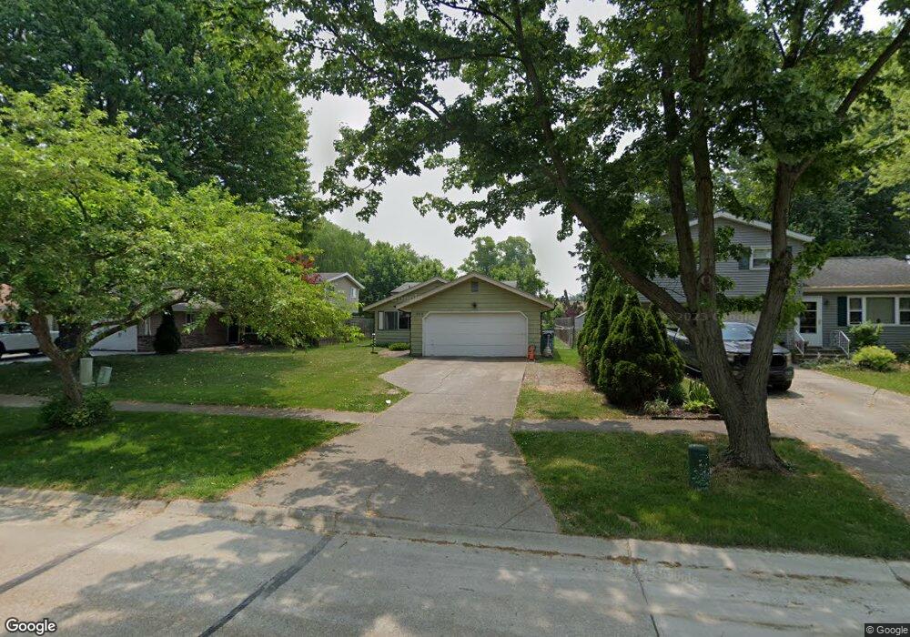
This home is located at 259 Butternut Ln, Berea, OH 44017 and is currently estimated at $252,988, approximately $143 per square foot. 259 Butternut Ln is a home located in Cuyahoga County with nearby schools including Grindstone Elementary School, Berea-Midpark Middle School, and Berea-Midpark High School.
Ownership History
Date
Name
Owned For
Owner Type
Purchase Details
Closed on
Dec 22, 1999
Sold by
Oster Michael A and Oster Patricia A
Bought by
Johnson Lyndon B and Johnson Sharon
Current Estimated Value
Home Financials for this Owner
Home Financials are based on the most recent Mortgage that was taken out on this home.
Original Mortgage
$114,952
Outstanding Balance
$35,551
Interest Rate
7.7%
Mortgage Type
FHA
Estimated Equity
$217,437
Purchase Details
Closed on
Mar 28, 1985
Sold by
Oster Michael A and Oster Patricia A
Bought by
Michael A Oster
Purchase Details
Closed on
Jan 1, 1975
Bought by
Oster Michael A and Oster Patricia A
Create a Home Valuation Report for This Property
The Home Valuation Report is an in-depth analysis detailing your home's value as well as a comparison with similar homes in the area
Home Values in the Area
Average Home Value in this Area
Purchase History
| Date | Buyer | Sale Price | Title Company |
|---|---|---|---|
| Johnson Lyndon B | $115,900 | -- | |
| Michael A Oster | -- | -- | |
| Oster Michael A | -- | -- |
Source: Public Records
Mortgage History
| Date | Status | Borrower | Loan Amount |
|---|---|---|---|
| Open | Johnson Lyndon B | $114,952 |
Source: Public Records
Tax History
| Year | Tax Paid | Tax Assessment Tax Assessment Total Assessment is a certain percentage of the fair market value that is determined by local assessors to be the total taxable value of land and additions on the property. | Land | Improvement |
|---|---|---|---|---|
| 2024 | $3,395 | $58,415 | $9,835 | $48,580 |
| 2023 | $3,757 | $54,400 | $8,790 | $45,610 |
| 2022 | $3,733 | $54,390 | $8,785 | $45,605 |
| 2021 | $3,702 | $54,390 | $8,790 | $45,610 |
| 2020 | $3,536 | $46,100 | $7,460 | $38,640 |
| 2019 | $3,442 | $131,700 | $21,300 | $110,400 |
| 2018 | $3,164 | $46,100 | $7,460 | $38,640 |
| 2017 | $3,120 | $39,000 | $6,340 | $32,660 |
| 2016 | $3,097 | $39,000 | $6,340 | $32,660 |
| 2015 | $3,081 | $39,000 | $6,340 | $32,660 |
| 2014 | $3,081 | $41,060 | $6,690 | $34,370 |
Source: Public Records
Map
Nearby Homes
- 487 Karen Dr
- 428 Park Place
- 379 Laurel Dr
- 146 Marian Ln
- 404 Crescent Dr
- 160 Marian Ln Unit 6A
- 445 Berea St
- 628 Lindbergh Blvd
- 216 Kraft St
- 211 W Bridge St
- 93 W 5th Ave
- 209 Gibson St
- 287 Edgewood Dr
- 300 West St
- 446 Redwood Dr
- 41 W 5th Ave
- 160 Stonepointe Dr
- 725 Shakespeare Dr
- 388 Fairwood Cir
- 47 Prospect St
- 253 Butternut Ln
- 263 Butternut Ln
- 249 Butternut Ln
- 243 Butternut Ln
- 362 Butternut Ln
- 281 Butternut Ln
- 366 Fern Dr
- 237 Butternut Ln
- 250 Butternut Ln
- 285 Butternut Ln
- 244 Butternut Ln
- 374 Fern Dr
- 369 Fern Dr
- 291 Butternut Ln
- 231 Butternut Ln
- 238 Butternut Ln
- 284 Butternut Ln
- 375 Fern Dr
- 232 Butternut Ln
- 295 Butternut Ln
Your Personal Tour Guide
Ask me questions while you tour the home.