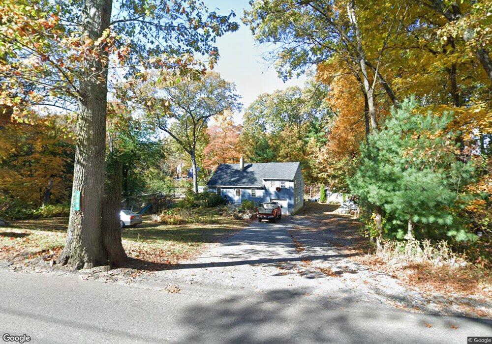
259 Cedar St Ashland, MA 01721
Estimated Value: $768,301 - $932,000
5
Beds
2
Baths
3,030
Sq Ft
$289/Sq Ft
Est. Value
About This Home
This home is located at 259 Cedar St, Ashland, MA 01721 and is currently estimated at $876,825, approximately $289 per square foot. 259 Cedar St is a home located in Middlesex County with nearby schools including William Pittaway Elementary School, Henry E. Warren Elementary School, and David Mindess Elementary School.
Ownership History
Date
Name
Owned For
Owner Type
Purchase Details
Closed on
Jan 9, 2007
Sold by
Lima Marlene
Bought by
Barbalho Washington M
Current Estimated Value
Home Financials for this Owner
Home Financials are based on the most recent Mortgage that was taken out on this home.
Original Mortgage
$316,000
Outstanding Balance
$189,156
Interest Rate
6.24%
Mortgage Type
Purchase Money Mortgage
Estimated Equity
$687,669
Create a Home Valuation Report for This Property
The Home Valuation Report is an in-depth analysis detailing your home's value as well as a comparison with similar homes in the area
Home Values in the Area
Average Home Value in this Area
Purchase History
| Date | Buyer | Sale Price | Title Company |
|---|---|---|---|
| Barbalho Washington M | $395,000 | -- |
Source: Public Records
Mortgage History
| Date | Status | Borrower | Loan Amount |
|---|---|---|---|
| Open | Barbalho Washington M | $316,000 |
Source: Public Records
Tax History Compared to Growth
Tax History
| Year | Tax Paid | Tax Assessment Tax Assessment Total Assessment is a certain percentage of the fair market value that is determined by local assessors to be the total taxable value of land and additions on the property. | Land | Improvement |
|---|---|---|---|---|
| 2025 | $8,569 | $671,000 | $244,000 | $427,000 |
| 2024 | $8,407 | $635,000 | $244,000 | $391,000 |
| 2023 | $7,640 | $554,800 | $232,600 | $322,200 |
| 2022 | $7,791 | $490,600 | $211,000 | $279,600 |
| 2021 | $7,513 | $459,200 | $211,000 | $248,200 |
| 2020 | $7,203 | $445,700 | $211,100 | $234,600 |
| 2019 | $6,926 | $425,400 | $211,100 | $214,300 |
| 2018 | $0 | $404,100 | $208,400 | $195,700 |
| 2017 | $6,481 | $388,100 | $204,500 | $183,600 |
| 2016 | $6,149 | $361,700 | $199,400 | $162,300 |
| 2015 | $5,842 | $337,700 | $186,500 | $151,200 |
| 2014 | $5,747 | $330,500 | $167,000 | $163,500 |
Source: Public Records
Map
Nearby Homes
- 102 Captain Eames Cir
- 76 Algonquin Trail
- 120 Prospect St
- 277 Meeting House Path
- 343 Captain Eames Cir Unit 38-C
- 97 Meeting House Path Unit 97
- 157 Leland Farm Rd
- 379 Captain Eames Cir
- 45 Half Crown Cir
- 74 Meeting House Path
- 72 Meeting House Path
- 158 Algonquin Trail
- 49 Prospect St
- 63 Trailside Way Unit 63
- 84 E Bluff Rd
- 37 James Rd
- 24 Old Connecticut Path
- 25 Prospect St
- 67 Spyglass Hill Dr
- 8 Raymond Way
- 39 Carriage House Path
- 43 Carriage House Path
- 255 Cedar St
- 35 Carriage House Path
- 45 Carriage House Path
- 33 Carriage House Path
- 256 Cedar St
- 262 Cedar St
- 268 Cedar St
- 271 Cedar St
- 49 Carriage House Path
- 31 Carriage House Path
- 38 Carriage House Path
- 30 Carriage House Path
- 243 Cedar St
- 34 Carriage House Path
- 42 Carriage House Path
- 14 Brimstone Way
- 29 Carriage House Path
- 44 Carriage House Path