259 Center Point Ln Lansdale, PA 19446
Estimated Value: $520,000 - $572,000
3
Beds
3
Baths
2,446
Sq Ft
$221/Sq Ft
Est. Value
About This Home
This home is located at 259 Center Point Ln, Lansdale, PA 19446 and is currently estimated at $539,798, approximately $220 per square foot. 259 Center Point Ln is a home located in Montgomery County with nearby schools including Worcester Elementary School, Skyview Upper Elementary School, and Arcola Intermediate School.
Ownership History
Date
Name
Owned For
Owner Type
Purchase Details
Closed on
Apr 23, 2018
Sold by
Kim Young I and Kim Hang I
Bought by
Kim Young I and Kim Hang L
Current Estimated Value
Purchase Details
Closed on
Sep 27, 2004
Sold by
Not Provided
Bought by
Not Provided
Purchase Details
Closed on
Sep 1, 2004
Sold by
Not Provided
Bought by
Not Provided
Purchase Details
Closed on
Jul 26, 2003
Sold by
Wood Billy D and Wood Paula A
Bought by
Barber Cheri
Home Financials for this Owner
Home Financials are based on the most recent Mortgage that was taken out on this home.
Original Mortgage
$284,000
Interest Rate
5.81%
Create a Home Valuation Report for This Property
The Home Valuation Report is an in-depth analysis detailing your home's value as well as a comparison with similar homes in the area
Home Values in the Area
Average Home Value in this Area
Purchase History
| Date | Buyer | Sale Price | Title Company |
|---|---|---|---|
| Kim Young I | $268,186 | None Available | |
| Not Provided | $367,000 | -- | |
| Not Provided | $367,000 | -- | |
| Barber Cheri | $355,000 | -- |
Source: Public Records
Mortgage History
| Date | Status | Borrower | Loan Amount |
|---|---|---|---|
| Previous Owner | Barber Cheri | $284,000 | |
| Closed | Not Provided | $0 |
Source: Public Records
Tax History Compared to Growth
Tax History
| Year | Tax Paid | Tax Assessment Tax Assessment Total Assessment is a certain percentage of the fair market value that is determined by local assessors to be the total taxable value of land and additions on the property. | Land | Improvement |
|---|---|---|---|---|
| 2025 | $8,237 | $217,470 | $48,080 | $169,390 |
| 2024 | $8,237 | $217,470 | $48,080 | $169,390 |
| 2023 | $7,900 | $217,470 | $48,080 | $169,390 |
| 2022 | $7,748 | $217,470 | $48,080 | $169,390 |
| 2021 | $7,595 | $217,470 | $48,080 | $169,390 |
| 2020 | $7,454 | $217,470 | $48,080 | $169,390 |
| 2019 | $7,381 | $217,470 | $48,080 | $169,390 |
| 2018 | $848 | $217,470 | $48,080 | $169,390 |
| 2017 | $7,098 | $217,470 | $48,080 | $169,390 |
| 2016 | $7,013 | $217,470 | $48,080 | $169,390 |
| 2015 | $6,763 | $217,470 | $48,080 | $169,390 |
| 2014 | $6,763 | $217,470 | $48,080 | $169,390 |
Source: Public Records
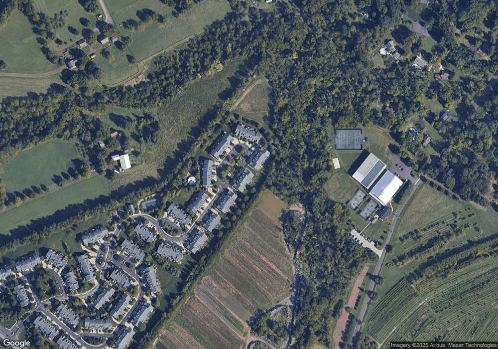
Map
Nearby Homes
- 2725 Skippack Pike
- 2203 Weber Rd
- 2 Capri Ln Unit KINSLEY
- 1716 Landis Rd
- 2806 Morris Rd
- 2648 Hawthorn Dr
- 825 Morris Rd
- 4 Anglesey
- 1939 Penngrove Terrace
- 1921 Whitehall Rd
- 3053 Sunny Ayre Dr
- 2624 Hawthorn Dr
- 1401 Oak Cir
- 2099 Deep Meadow Ln
- 2564 W Skippack Pike
- 742 Tranquility Ln
- 3180 Zacharias Rd
- 3106 Lilac Ct
- 1307 Lilac Ct
- 4104 Lilac Ct
- 257 Center Point Ln
- 261 Center Point Ln
- 255 Center Point Ln
- 263 Center Point Ln
- 253 Center Point Ln
- 265 Center Point Ln
- 251 Center Point Ln
- 267 Center Point Ln
- 249 Center Point Ln
- 269 Center Point Ln
- 247 Center Point Ln
- 245 Center Point Ln
- 276 Center Point Ln
- 274 Center Point Ln
- 243 Center Point Ln
- 258 Center Point Ln
- 256 Center Point Ln
- 260 Center Point Ln
- 254 Center Point Ln
- 270 Center Point Ln