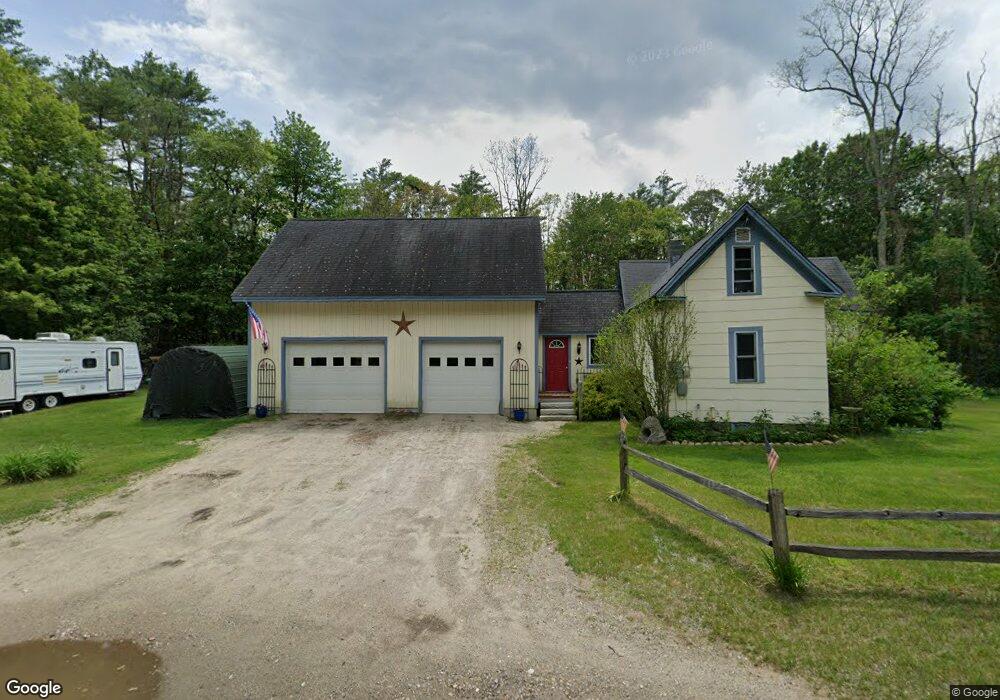
259 Depot St Andover, NH 03216
Estimated Value: $310,000 - $388,000
2
Beds
1
Bath
1,430
Sq Ft
$244/Sq Ft
Est. Value
About This Home
This home is located at 259 Depot St, Andover, NH 03216 and is currently estimated at $349,322, approximately $244 per square foot. 259 Depot St is a home located in Merrimack County with nearby schools including Andover Elementary Middle School, Merrimack Valley High School, and Proctor Academy.
Ownership History
Date
Name
Owned For
Owner Type
Purchase Details
Closed on
Jun 25, 2004
Sold by
Wayland Kitty
Bought by
Vosburgh Ernest J and Vosburgh Dawn Marie
Current Estimated Value
Home Financials for this Owner
Home Financials are based on the most recent Mortgage that was taken out on this home.
Original Mortgage
$106,400
Outstanding Balance
$51,592
Interest Rate
6.32%
Mortgage Type
Purchase Money Mortgage
Estimated Equity
$297,730
Create a Home Valuation Report for This Property
The Home Valuation Report is an in-depth analysis detailing your home's value as well as a comparison with similar homes in the area
Home Values in the Area
Average Home Value in this Area
Purchase History
We collect this data history from publicly available records. To have your information removed, we recommend requesting removal directly through your county’s website.
| Date | Buyer | Sale Price | Title Company |
|---|---|---|---|
| Vosburgh Ernest J | $133,000 | -- |
Source: Public Records
Mortgage History
We collect this data history from publicly available records. To have your information removed, we recommend requesting removal directly through your county’s website.
| Date | Status | Borrower | Loan Amount |
|---|---|---|---|
| Open | Vosburgh Ernest J | $106,400 |
Source: Public Records
Tax History
| Year | Tax Paid | Tax Assessment Tax Assessment Total Assessment is a certain percentage of the fair market value that is determined by local assessors to be the total taxable value of land and additions on the property. | Land | Improvement |
|---|---|---|---|---|
| 2025 | $4,023 | $274,600 | $107,800 | $166,800 |
| 2024 | $4,020 | $274,600 | $107,800 | $166,800 |
| 2023 | $3,582 | $156,100 | $71,100 | $85,000 |
| 2022 | $3,308 | $156,100 | $71,100 | $85,000 |
| 2021 | $3,264 | $156,100 | $71,100 | $85,000 |
| 2020 | $3,331 | $156,100 | $71,100 | $85,000 |
| 2019 | $3,378 | $156,100 | $71,100 | $85,000 |
| 2018 | $2,978 | $129,800 | $54,700 | $75,100 |
| 2017 | $3,045 | $133,200 | $54,700 | $78,500 |
| 2016 | $2,832 | $133,200 | $54,700 | $78,500 |
| 2015 | $2,648 | $133,200 | $54,700 | $78,500 |
| 2014 | $2,715 | $133,200 | $54,700 | $78,500 |
| 2013 | $2,683 | $143,100 | $58,500 | $84,600 |
Source: Public Records
Map
Nearby Homes
- Lot 4 Depot St
- 168 Eagle Pond Rd
- 62 Patterson Rd
- Lot 8 Stone Bridge Rd
- Lot 3 Kimpton Brook Rd
- 267 Kearsarge Mountain Rd
- 284 Village Rd
- 0 Quiet Cove Way Unit 5
- 14 Fox Run Rd
- Lot 16 Granite Hill Rd
- 66 Sparrowhawk Rd
- M4 L18 B13 Nh Route 4a
- 97 Salisbury Hwy
- 29 Horseshoe Pond Rd
- 986 Lakeshore Dr
- 2 Monticello Dr
- 32 Monticello Dr
- 66 Phelps Ln
- 470 Kearsarge Valley Rd
- 0 Juniper Meadow Rd Unit 26
- 274 Depot St
- 274 Depot St Unit B
- 241 Depot St
- 284 Depot St
- 273 Depot St
- 232 Depot St
- 286 Depot St
- Lot 5 & Off Depot St
- Lot 5 Depot St
- Off Depot St
- Lots 4, 5, & 6 Depot St Unit 4, 5, 6
- Lot 1,2,3,4,5,6 Depot St
- Lot 4 Depot St Unit 4
- Lot 3 Depot St Unit 3
- Lot 5 Depot St Unit 5
- Lot 2 Depot St Unit 2
- Lot 1 Depot St Unit 1
- 00 Depot St
- 305 Depot St
- 300 Depot St
Your Personal Tour Guide
Ask me questions while you tour the home.