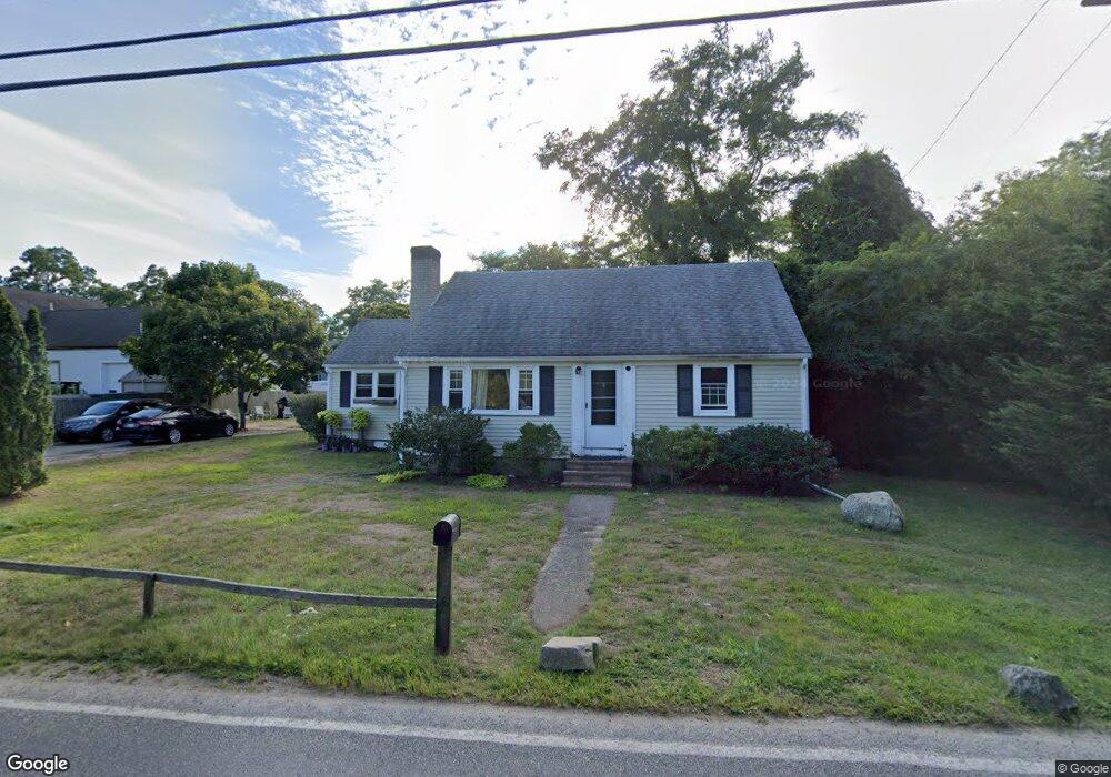
259 Depot St Dennis Port, MA 02639
Dennis Port NeighborhoodEstimated Value: $838,580 - $932,000
5
Beds
3
Baths
2,051
Sq Ft
$436/Sq Ft
Est. Value
About This Home
This home is located at 259 Depot St, Dennis Port, MA 02639 and is currently estimated at $893,895, approximately $435 per square foot. 259 Depot St is a home located in Barnstable County with nearby schools including Dennis-Yarmouth Regional High School and St. Pius X. School.
Ownership History
Date
Name
Owned For
Owner Type
Purchase Details
Closed on
Aug 22, 2016
Sold by
Bono Robert
Bought by
Plymouth Dream Homes R
Current Estimated Value
Purchase Details
Closed on
Nov 14, 2013
Sold by
Plymouth Dream Homes R and Bono Robert
Bought by
Plymouth Dream Homes R and Bono Robert
Create a Home Valuation Report for This Property
The Home Valuation Report is an in-depth analysis detailing your home's value as well as a comparison with similar homes in the area
Home Values in the Area
Average Home Value in this Area
Purchase History
| Date | Buyer | Sale Price | Title Company |
|---|---|---|---|
| Plymouth Dream Homes R | -- | -- | |
| Plymouth Dream Homes R | -- | -- | |
| Plymouth Dream Homes R | $219,000 | -- |
Source: Public Records
Tax History Compared to Growth
Tax History
| Year | Tax Paid | Tax Assessment Tax Assessment Total Assessment is a certain percentage of the fair market value that is determined by local assessors to be the total taxable value of land and additions on the property. | Land | Improvement |
|---|---|---|---|---|
| 2025 | $3,360 | $776,000 | $167,100 | $608,900 |
| 2024 | $3,395 | $773,300 | $170,100 | $603,200 |
| 2023 | $3,283 | $703,100 | $154,600 | $548,500 |
| 2022 | $3,162 | $564,600 | $154,800 | $409,800 |
| 2021 | $2,783 | $461,600 | $136,600 | $325,000 |
| 2020 | $2,702 | $443,000 | $136,600 | $306,400 |
| 2019 | $2,511 | $407,000 | $133,900 | $273,100 |
| 2018 | $3,727 | $385,200 | $127,500 | $257,700 |
| 2017 | $2,369 | $385,200 | $127,500 | $257,700 |
| 2016 | $2,105 | $322,300 | $141,600 | $180,700 |
| 2015 | $2,121 | $331,400 | $141,600 | $189,800 |
| 2014 | $1,775 | $279,600 | $113,300 | $166,300 |
Source: Public Records
Map
Nearby Homes
- 9 Country Ln
- 47 Telegraph Rd Unit 1
- 12 Candlewood Ln Unit 2-9
- 12 Candlewood Ln Unit 1-6
- 10 Candlewood Ln Unit 2-1
- 141 Division St
- 141 Division St
- 78 Upper County Rd Unit A&B
- 78 Upper County Rd
- 24 Indian Trail
- 11 Lane Rd
- 73 Division St
- 12 Cross St
- 45 Route 28
- 104 Toms Path
- 104 Toms Path
- 268 Main St
- 91 Depot Rd W
- 148 Belmont Rd
- 9 Bells Neck Rd Unit 10
- 261 Depot St
- 257 Depot St
- 14 Country Ln
- 18 Country Ln
- 276 Depot St
- 190 Upper County Rd Unit 8
- 190 Upper County Rd Unit 7
- 8 Upper County Rd
- 2 Upper County Rd
- 8 Upper County Rd Unit U-2
- 190 Upper County Rd Unit 12
- 190 Upper County Rd Unit 11
- 190 Upper County Rd Unit 15
- 190 Upper County Rd Unit 4
- 190 Upper County Rd Unit 2
- 190 Upper County Rd
- 3 Upper County Rd
- 190 Upper County Rd Unit 9
- 190 Upper County Rd Unit 1
- 22 Country Ln