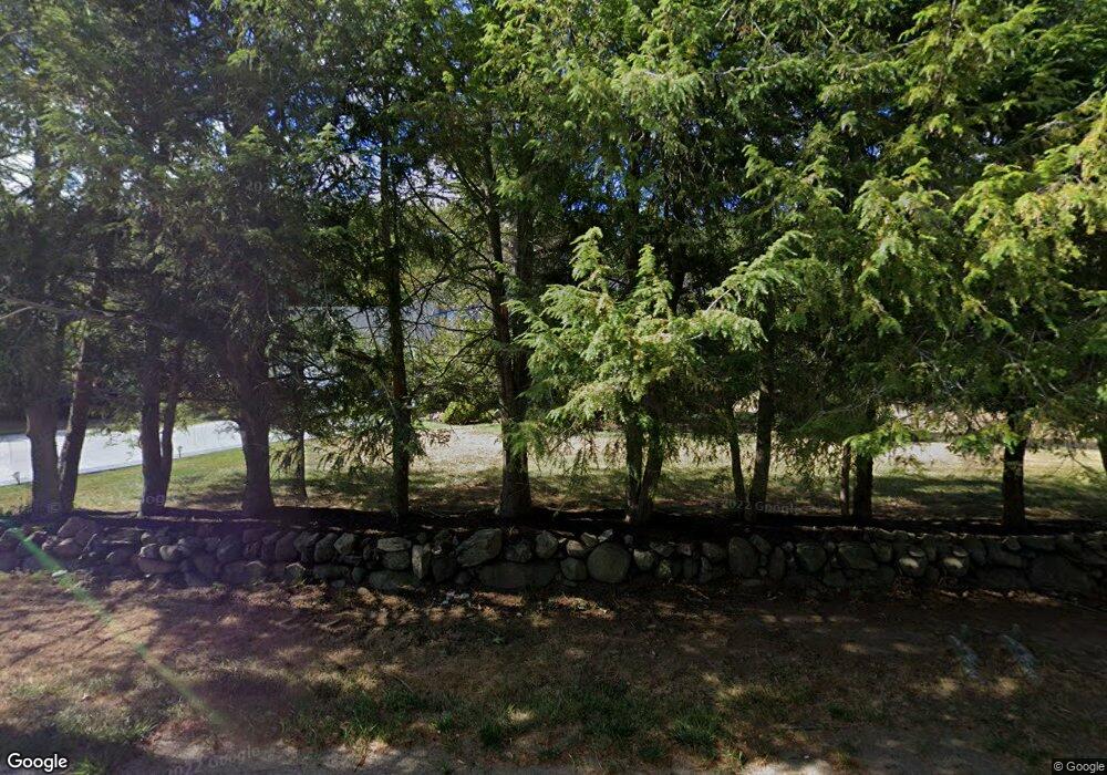
259 Eliot St Natick, MA 01760
Estimated Value: $1,080,000 - $1,395,000
4
Beds
4
Baths
2,100
Sq Ft
$584/Sq Ft
Est. Value
About This Home
This home is located at 259 Eliot St, Natick, MA 01760 and is currently estimated at $1,226,288, approximately $583 per square foot. 259 Eliot St is a home located in Middlesex County with nearby schools including Natick High School, Memorial Elementary School, and J F Kennedy Middle School.
Ownership History
Date
Name
Owned For
Owner Type
Purchase Details
Closed on
Mar 24, 2005
Sold by
Klein Maxine W
Bought by
259 Eliot St Rt
Current Estimated Value
Purchase Details
Closed on
Mar 5, 1990
Sold by
Klein Phillip M
Bought by
Jessica Anne Klein Irt
Home Financials for this Owner
Home Financials are based on the most recent Mortgage that was taken out on this home.
Original Mortgage
$110,000
Interest Rate
9.78%
Mortgage Type
Purchase Money Mortgage
Purchase Details
Closed on
Jun 22, 1989
Sold by
Aldahan Muhaned A R
Bought by
Klein Phillip M
Create a Home Valuation Report for This Property
The Home Valuation Report is an in-depth analysis detailing your home's value as well as a comparison with similar homes in the area
Home Values in the Area
Average Home Value in this Area
Purchase History
| Date | Buyer | Sale Price | Title Company |
|---|---|---|---|
| 259 Eliot St Rt | -- | -- | |
| Jessica Anne Klein Irt | $11,000 | -- | |
| Klein Phillip M | $350,000 | -- |
Source: Public Records
Mortgage History
| Date | Status | Borrower | Loan Amount |
|---|---|---|---|
| Previous Owner | Klein Phillip M | $110,000 |
Source: Public Records
Tax History Compared to Growth
Tax History
| Year | Tax Paid | Tax Assessment Tax Assessment Total Assessment is a certain percentage of the fair market value that is determined by local assessors to be the total taxable value of land and additions on the property. | Land | Improvement |
|---|---|---|---|---|
| 2025 | $12,016 | $1,004,700 | $491,900 | $512,800 |
| 2024 | $11,632 | $948,800 | $465,800 | $483,000 |
| 2023 | $11,011 | $871,100 | $429,100 | $442,000 |
| 2022 | $10,548 | $790,700 | $383,100 | $407,600 |
| 2021 | $10,107 | $742,600 | $362,900 | $379,700 |
| 2020 | $9,901 | $727,500 | $347,800 | $379,700 |
| 2019 | $9,247 | $727,500 | $347,800 | $379,700 |
| 2018 | $8,441 | $646,800 | $332,700 | $314,100 |
| 2017 | $8,635 | $640,100 | $332,000 | $308,100 |
| 2016 | $8,321 | $613,200 | $332,000 | $281,200 |
| 2015 | $8,159 | $590,400 | $332,000 | $258,400 |
Source: Public Records
Map
Nearby Homes
- 211 Eliot St
- 15 Wyndemere Ln
- 16 Wayside Rd Unit 14
- 18 Phillips Pond Rd
- 39 Davis Brook Dr
- 91 Glen St
- 94 Woodland St
- 104 Eliot St
- 104 Glen St
- 7 Allison Way Unit 7
- 83 Eliot St
- 10 Sundance Way
- 8 Greystone Rd
- 125 Union St
- 216-218 S Main St
- 29 Water St
- 21 Eliot St
- 8 Floral Ave Unit 8
- 1 Lincoln Street Extension
- 67 Farm St
