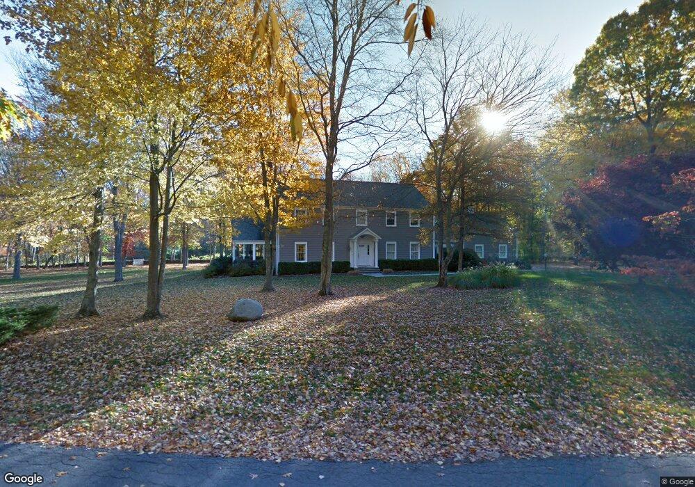
259 Longmeadow Rd Fairfield, CT 06824
Greenfield Hill NeighborhoodEstimated Value: $2,038,859 - $2,542,000
4
Beds
5
Baths
4,553
Sq Ft
$515/Sq Ft
Est. Value
About This Home
This home is located at 259 Longmeadow Rd, Fairfield, CT 06824 and is currently estimated at $2,342,715, approximately $514 per square foot. 259 Longmeadow Rd is a home located in Fairfield County with nearby schools including Burr Elementary School, Tomlinson Middle School, and Fairfield Warde High School.
Ownership History
Date
Name
Owned For
Owner Type
Purchase Details
Closed on
Jun 21, 1996
Sold by
Much Isaac and Much Donna M
Bought by
Zarich Stuart W and Zarich Karen A
Current Estimated Value
Purchase Details
Closed on
Jan 19, 1993
Sold by
Geraghty Ellen C and Nucera Joseph
Bought by
Independence One Fncl
Purchase Details
Closed on
Dec 11, 1992
Sold by
Geraghty Ellen C and Nucera Joseph P
Bought by
Independence One Finan
Create a Home Valuation Report for This Property
The Home Valuation Report is an in-depth analysis detailing your home's value as well as a comparison with similar homes in the area
Home Values in the Area
Average Home Value in this Area
Purchase History
| Date | Buyer | Sale Price | Title Company |
|---|---|---|---|
| Zarich Stuart W | $765,000 | -- | |
| Zarich Stuart W | $765,000 | -- | |
| Independence One Fncl | $135,000 | -- | |
| Independence One Fncl | $135,000 | -- | |
| Independence One Finan | $135,000 | -- | |
| Independence One Finan | $135,000 | -- |
Source: Public Records
Mortgage History
| Date | Status | Borrower | Loan Amount |
|---|---|---|---|
| Open | Independence One Finan | $417,000 | |
| Closed | Independence One Finan | $100,000 |
Source: Public Records
Tax History Compared to Growth
Tax History
| Year | Tax Paid | Tax Assessment Tax Assessment Total Assessment is a certain percentage of the fair market value that is determined by local assessors to be the total taxable value of land and additions on the property. | Land | Improvement |
|---|---|---|---|---|
| 2025 | $22,486 | $792,050 | $330,330 | $461,720 |
| 2024 | $22,098 | $792,050 | $330,330 | $461,720 |
| 2023 | $21,789 | $792,050 | $330,330 | $461,720 |
| 2022 | $21,575 | $792,050 | $330,330 | $461,720 |
| 2021 | $21,370 | $792,050 | $330,330 | $461,720 |
| 2020 | $22,260 | $830,900 | $321,230 | $509,670 |
| 2019 | $22,260 | $830,900 | $321,230 | $509,670 |
| 2018 | $21,903 | $830,900 | $321,230 | $509,670 |
| 2017 | $21,454 | $830,900 | $321,230 | $509,670 |
| 2016 | $21,146 | $830,900 | $321,230 | $509,670 |
| 2015 | $22,425 | $904,610 | $355,530 | $549,080 |
| 2014 | $22,072 | $904,610 | $355,530 | $549,080 |
Source: Public Records
Map
Nearby Homes
- 180 Catamount Rd
- 2775 North St
- 22 Brett Rd
- 4800 Congress St
- 158 Coventry Ln
- 2281 Redding Rd
- 76 Burr St
- 2425 Merwins Ln
- 100 E Common Rd
- 80 Gilbert Hwy
- 1375 Westport Turnpike
- 342 Midlock Rd
- 2015 Redding Rd
- 101 Brambley Hedge Cir
- 111 & 115 Old Easton Turnpike
- 85-95 Old Easton Turnpike
- 312 Towne House Rd
- 3853 Congress St
- 88 Merry Meet Cir
- 18 Hunt Ln
- 273 Longmeadow Rd
- 279 Westlea Rd
- 271 Longmeadow Rd
- 269 Westlea Rd
- 230 Longmeadow Rd
- 200 Longmeadow Rd
- 197 Longmeadow Rd
- 197 Eastlea Rd
- 3100 Redding Rd
- 350 Longmeadow Rd
- 77 Longmeadow Rd
- 195 Eastlea Ln
- 340 Longmeadow Rd
- 290 Longmeadow Rd
- 267 Westlea Rd
- 265 Westlea Rd
- 120 Longmeadow Rd
- 3175 Redding Rd
- 3247 Redding Rd
- 193 Eastlea Rd