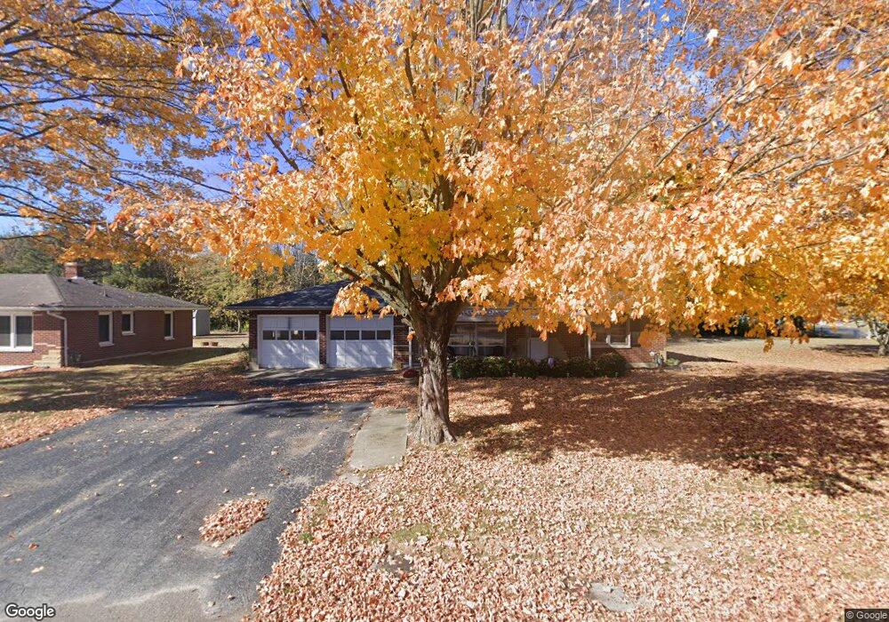
259 Main St Port William, OH 45164
Estimated Value: $89,000 - $156,396
2
Beds
1
Bath
1,468
Sq Ft
$90/Sq Ft
Est. Value
About This Home
This home is located at 259 Main St, Port William, OH 45164 and is currently estimated at $132,849, approximately $90 per square foot. 259 Main St is a home located in Clinton County with nearby schools including East End Elementary School, Denver Place Elementary School, and Roy E. Holmes Elementary School.
Ownership History
Date
Name
Owned For
Owner Type
Purchase Details
Closed on
Mar 30, 2023
Sold by
Wingo Isaac
Bought by
Ashcraft Reed
Current Estimated Value
Home Financials for this Owner
Home Financials are based on the most recent Mortgage that was taken out on this home.
Original Mortgage
$105,600
Outstanding Balance
$102,512
Interest Rate
6.32%
Mortgage Type
New Conventional
Estimated Equity
$30,337
Purchase Details
Closed on
Jan 31, 2017
Sold by
Rtt Properties Llc
Bought by
Wingo Isaac J
Home Financials for this Owner
Home Financials are based on the most recent Mortgage that was taken out on this home.
Original Mortgage
$64,000
Interest Rate
4.12%
Mortgage Type
New Conventional
Purchase Details
Closed on
Apr 2, 2003
Sold by
Mallard Edward L H and Collins Teresa L
Bought by
Rtt Properties Llc
Purchase Details
Closed on
Feb 24, 1999
Sold by
Borst Hazel V
Bought by
Bush Michael R
Purchase Details
Closed on
Jan 1, 1990
Bought by
Borst Hazel
Create a Home Valuation Report for This Property
The Home Valuation Report is an in-depth analysis detailing your home's value as well as a comparison with similar homes in the area
Purchase History
| Date | Buyer | Sale Price | Title Company |
|---|---|---|---|
| Ashcraft Reed | $166 | None Listed On Document | |
| Wingo Isaac J | $80,000 | Attorney | |
| Rtt Properties Llc | -- | -- | |
| Bush Michael R | $90,000 | -- | |
| Borst Hazel | -- | -- |
Source: Public Records
Mortgage History
| Date | Status | Borrower | Loan Amount |
|---|---|---|---|
| Open | Ashcraft Reed | $105,600 | |
| Previous Owner | Wingo Isaac J | $64,000 |
Source: Public Records
Tax History
| Year | Tax Paid | Tax Assessment Tax Assessment Total Assessment is a certain percentage of the fair market value that is determined by local assessors to be the total taxable value of land and additions on the property. | Land | Improvement |
|---|---|---|---|---|
| 2024 | $1,674 | $42,220 | $3,610 | $38,610 |
| 2023 | $1,718 | $42,220 | $3,610 | $38,610 |
| 2022 | $1,159 | $28,530 | $2,500 | $26,030 |
| 2021 | $1,170 | $28,530 | $2,500 | $26,030 |
| 2020 | $1,138 | $28,530 | $2,500 | $26,030 |
| 2019 | $1,062 | $24,550 | $2,500 | $22,050 |
| 2018 | $976 | $24,550 | $2,500 | $22,050 |
| 2017 | $490 | $24,550 | $2,500 | $22,050 |
| 2016 | $1,106 | $27,690 | $2,770 | $24,920 |
| 2015 | $1,105 | $27,690 | $2,770 | $24,920 |
| 2013 | $1,128 | $27,690 | $2,770 | $24,920 |
Source: Public Records
Map
Nearby Homes
- 5093 Hussey Rd
- 3390 State Route 72 N
- 5469 Davis Rd
- 3915 U S 68
- 3863 S Old Us Rt 68
- 191 New Burlington Rd
- 241 Raycon Dr
- 2195 N Curry Rd
- 23 Highland Ct
- 1861 Oh-72
- 1817 E Spring Valley Paintersville Rd
- 2801 N State Route 72
- 1908 Prairie Rd
- 3647 N Lakeshore Dr
- 4533 Navajo Trail
- 668 New Burlington Rd
- 4119 Beach Trail
- 3511 Us Rt 22 & 3
- 0 S St Rt 73 Unit 1827681
- 1216 N St Rt 134
Your Personal Tour Guide
Ask me questions while you tour the home.