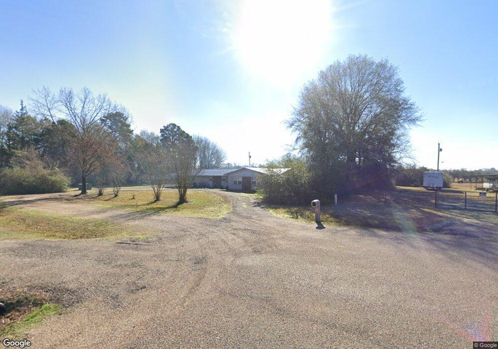
259 Merritt Dr Texarkana, TX 75501
Estimated Value: $199,000 - $300,000
--
Bed
--
Bath
1,811
Sq Ft
$133/Sq Ft
Est. Value
About This Home
This home is located at 259 Merritt Dr, Texarkana, TX 75501 and is currently estimated at $241,315, approximately $133 per square foot. 259 Merritt Dr is a home located in Bowie County with nearby schools including Liberty-Eylau Early Childhood Center, Liberty-Eylau Primary School, and Liberty-Eylau C.K. Bender Elementary Campus.
Ownership History
Date
Name
Owned For
Owner Type
Purchase Details
Closed on
Nov 9, 2011
Sold by
Lawall Melanie and Moeley Melanie A
Bought by
Green Danny and Brumley Rachel R
Current Estimated Value
Home Financials for this Owner
Home Financials are based on the most recent Mortgage that was taken out on this home.
Original Mortgage
$87,718
Outstanding Balance
$60,600
Interest Rate
4.37%
Mortgage Type
FHA
Estimated Equity
$180,715
Purchase Details
Closed on
Aug 16, 2010
Sold by
Nguyen John
Bought by
Mobley Melanie A
Home Financials for this Owner
Home Financials are based on the most recent Mortgage that was taken out on this home.
Original Mortgage
$71,415
Interest Rate
4.54%
Mortgage Type
New Conventional
Create a Home Valuation Report for This Property
The Home Valuation Report is an in-depth analysis detailing your home's value as well as a comparison with similar homes in the area
Home Values in the Area
Average Home Value in this Area
Purchase History
| Date | Buyer | Sale Price | Title Company |
|---|---|---|---|
| Green Danny | -- | None Available | |
| Mobley Melanie A | -- | None Available |
Source: Public Records
Mortgage History
| Date | Status | Borrower | Loan Amount |
|---|---|---|---|
| Open | Green Danny | $87,718 | |
| Previous Owner | Mobley Melanie A | $71,415 |
Source: Public Records
Tax History Compared to Growth
Tax History
| Year | Tax Paid | Tax Assessment Tax Assessment Total Assessment is a certain percentage of the fair market value that is determined by local assessors to be the total taxable value of land and additions on the property. | Land | Improvement |
|---|---|---|---|---|
| 2025 | $1,165 | $166,319 | -- | -- |
| 2024 | $1,165 | $151,199 | $16,500 | $170,474 |
| 2023 | $2,054 | $137,454 | $0 | $0 |
| 2022 | $2,153 | $134,469 | $16,500 | $117,969 |
| 2021 | $2,081 | $113,598 | $16,500 | $97,098 |
| 2020 | $2,012 | $109,016 | $16,500 | $92,516 |
| 2019 | $2,033 | $104,656 | $16,500 | $88,156 |
| 2018 | $1,968 | $101,313 | $16,500 | $84,813 |
| 2017 | $1,929 | $99,671 | $16,500 | $83,171 |
| 2016 | $1,987 | $102,692 | $16,000 | $86,692 |
| 2015 | $1,556 | $101,859 | $16,000 | $85,859 |
| 2014 | $1,556 | $98,645 | $16,000 | $82,645 |
Source: Public Records
Map
Nearby Homes
- 3088 Buchanan Loop Rd
- 0 Urban Dr
- 2 S Pineview Dr
- 0 Randall Rd
- TBD Lp Frontage Wallace Pkwy
- 229 Alan St
- 2043 Randall Rd
- 115 Krobot Cir
- 403 Brookfield St
- 310 Springridge Dr
- 6514 Buchanan Loop Rd
- 1 Starlite Dr
- Pansy st Loop 151
- 5789 U S 59
- 39 Quail Brook Dr
- 2615 Leopard Dr
- 101 Redwood Dr
- 2802 Flower Acre Rd
- N/A Kramer Cr 1326
- 6815 Buchanan Loop Rd