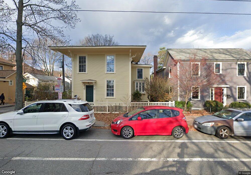
259 Mount Auburn St Unit St. Cambridge, MA 02138
West Cambridge NeighborhoodEstimated Value: $2,303,000 - $2,924,000
3
Beds
3
Baths
1,750
Sq Ft
$1,533/Sq Ft
Est. Value
About This Home
This home is located at 259 Mount Auburn St Unit St., Cambridge, MA 02138 and is currently estimated at $2,683,560, approximately $1,533 per square foot. 259 Mount Auburn St Unit St. is a home located in Middlesex County with nearby schools including St Peter School, Shady Hill School, and Buckingham Browne & Nichols School.
Ownership History
Date
Name
Owned For
Owner Type
Purchase Details
Closed on
Nov 15, 1988
Sold by
Shortall Nancy W
Bought by
Trolley Station Trust
Current Estimated Value
Create a Home Valuation Report for This Property
The Home Valuation Report is an in-depth analysis detailing your home's value as well as a comparison with similar homes in the area
Home Values in the Area
Average Home Value in this Area
Purchase History
| Date | Buyer | Sale Price | Title Company |
|---|---|---|---|
| Trolley Station Trust | $234,000 | -- |
Source: Public Records
Mortgage History
| Date | Status | Borrower | Loan Amount |
|---|---|---|---|
| Closed | Trolley Station Trust | $140,000 |
Source: Public Records
Tax History Compared to Growth
Tax History
| Year | Tax Paid | Tax Assessment Tax Assessment Total Assessment is a certain percentage of the fair market value that is determined by local assessors to be the total taxable value of land and additions on the property. | Land | Improvement |
|---|---|---|---|---|
| 2025 | $15,538 | $2,447,000 | $1,415,800 | $1,031,200 |
| 2024 | $14,139 | $2,388,400 | $1,401,000 | $987,400 |
| 2023 | $13,040 | $2,225,200 | $1,371,000 | $854,200 |
| 2022 | $12,486 | $2,109,100 | $1,360,900 | $748,200 |
| 2021 | $11,740 | $2,006,900 | $1,334,500 | $672,400 |
| 2020 | $11,075 | $1,926,000 | $1,288,300 | $637,700 |
| 2019 | $10,173 | $1,712,600 | $1,129,700 | $582,900 |
| 2018 | $10,565 | $1,679,700 | $1,123,100 | $556,600 |
| 2017 | $10,666 | $1,643,400 | $1,123,100 | $520,300 |
| 2016 | $10,230 | $1,463,500 | $987,700 | $475,800 |
| 2015 | $10,436 | $1,334,500 | $908,400 | $426,100 |
| 2014 | $10,443 | $1,246,200 | $825,800 | $420,400 |
Source: Public Records
Map
Nearby Homes
- 20 Maynard Place
- 1010 Memorial Dr Unit 6G
- 15 Hubbard Park Rd
- 48 Hubbard Park Rd
- 158 Brattle St
- 153 Brattle St
- 172 Brattle St
- 32 Hawthorn St
- 3 Berkeley Place
- 988 Memorial Dr Unit 386
- 5 Brewer St Unit 5
- 12 Berkeley St
- 986 Memorial Dr Unit 404
- 984 Memorial Dr Unit 984-503
- 983 Memorial Dr Unit 502
- 234 Huron Ave
- 22 Concord Ave Unit 10
- 130 Mount Auburn St Unit 108
- 44 Garden St
- 52 Garden St Unit B2
- 259 Mount Auburn St
- 259 Mount Auburn St Unit 4
- 259 Mount Auburn St
- 259 Mount Auburn St Unit 259
- 257 Mount Auburn St
- 257 Mount Auburn St Unit 3
- 257 Mount Auburn St
- 257 Mount Auburn St Unit 257
- 257 Mount Auburn St Unit SF
- 261 Mt Auburn St
- 261 Mount Auburn St
- 261 Mount Auburn St Unit 2
- 1 Gibson St
- 7 Gibson St
- 7 Gibson St Unit 1
- 9 Gibson St
- 7 Gibson St
- 9 Gibson St Unit 1
- 9 Maynard Place
- 15 Gibson St