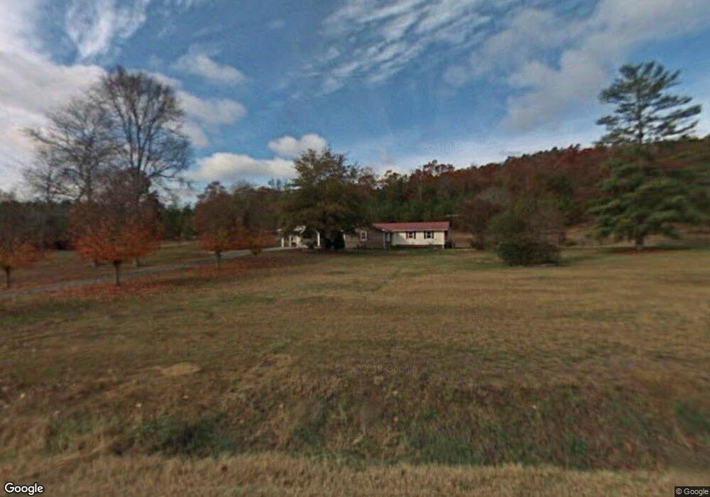
259 Perry Rd Armuchee, GA 30105
Estimated Value: $125,000 - $175,000
Studio
--
Bath
724
Sq Ft
$207/Sq Ft
Est. Value
About This Home
This home is located at 259 Perry Rd, Armuchee, GA 30105 and is currently estimated at $150,000, approximately $207 per square foot. 259 Perry Rd is a home located in Floyd County with nearby schools including Armuchee High School.
Ownership History
Date
Name
Owned For
Owner Type
Purchase Details
Closed on
Jan 9, 2006
Sold by
Not Provided
Bought by
Bunch Bunch Jerry L Jerry L and Bunch Nancy Ann
Current Estimated Value
Purchase Details
Closed on
Mar 10, 2004
Sold by
Bunch W B
Bought by
Bunch Jerry L
Purchase Details
Closed on
Jul 10, 1990
Sold by
Bunch W B
Bought by
Bunch W B
Purchase Details
Closed on
Nov 18, 1971
Sold by
Bunch Bunch W and Bunch Morrison W
Bought by
Bunch W B
Purchase Details
Closed on
Nov 1, 1963
Sold by
Bunch W B
Bought by
Bunch Bunch W and Bunch Morrison W
Purchase Details
Closed on
Jan 1, 1963
Bought by
Bunch W B
Create a Home Valuation Report for This Property
The Home Valuation Report is an in-depth analysis detailing your home's value as well as a comparison with similar homes in the area
Purchase History
| Date | Buyer | Sale Price | Title Company |
|---|---|---|---|
| Bunch Bunch Jerry L Jerry L | -- | -- | |
| Bunch Jerry L | -- | -- | |
| Bunch W B | -- | -- | |
| Bunch W B | -- | -- | |
| Bunch Bunch W | -- | -- | |
| Bunch W B | -- | -- |
Source: Public Records
Tax History
| Year | Tax Paid | Tax Assessment Tax Assessment Total Assessment is a certain percentage of the fair market value that is determined by local assessors to be the total taxable value of land and additions on the property. | Land | Improvement |
|---|---|---|---|---|
| 2025 | $417 | $14,564 | $4,257 | $10,307 |
| 2024 | $417 | $13,187 | $3,784 | $9,403 |
| 2023 | $377 | $12,604 | $3,440 | $9,164 |
| 2022 | $267 | $9,002 | $2,838 | $6,164 |
| 2021 | $219 | $7,252 | $2,584 | $4,668 |
| 2020 | $203 | $6,667 | $2,247 | $4,420 |
| 2019 | $193 | $6,420 | $2,247 | $4,173 |
| 2018 | $183 | $6,079 | $2,140 | $3,939 |
| 2017 | $174 | $5,772 | $1,982 | $3,790 |
| 2016 | $173 | $5,666 | $1,960 | $3,706 |
| 2015 | $169 | $5,666 | $1,960 | $3,706 |
| 2014 | $169 | $5,666 | $1,960 | $3,706 |
Source: Public Records
Map
Nearby Homes
- 5967 Martha Berry Hwy
- 0 Big Texas Valley Rd NW Unit 10681966
- 00 Big Texas Valley Rd NW
- 4494 Old Summerville Rd
- 6729 Big Texas Valley Rd NW
- 70 Old Summerville Rd
- 1450 Highway 27
- 0 Ben Mosley Cir Unit 25735821
- 0 Ben Mosley Cir Unit 10654033
- 0 W Valley Dr Unit 25949847
- 1024 New Rosedale Rd NE
- 0 Highway 140 Unit 20164671
- 00 Westvalley Dr
- 0 Westvalley Dr NW Unit 7722073
- 0 Westvalley Dr NW Unit 10694893
- 0 Westvalley Dr NW Unit 10694896
- 0 Little Texas Valley Rd NW Unit 7690581
- 0 Little Texas Valley Rd NW Unit 10655120
- 1129 Farmersville Rd
- 733 Unity Church Rd
Your Personal Tour Guide
Ask me questions while you tour the home.