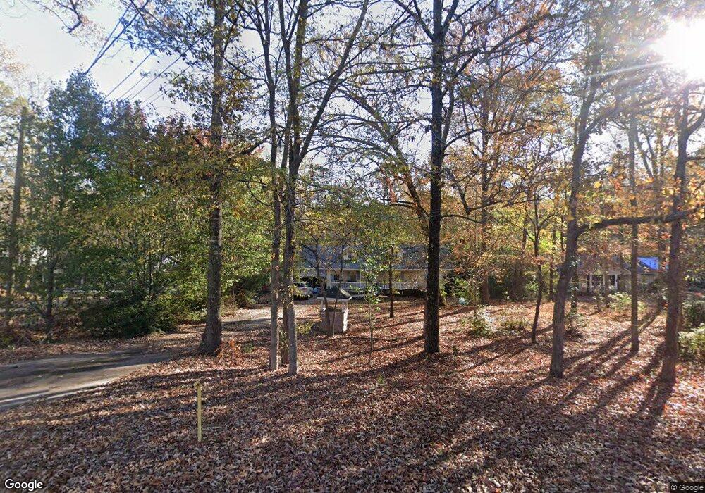
259 Reed Rd West Point, GA 31833
Estimated Value: $180,000 - $272,000
3
Beds
2
Baths
2,002
Sq Ft
$120/Sq Ft
Est. Value
About This Home
This home is located at 259 Reed Rd, West Point, GA 31833 and is currently estimated at $240,369, approximately $120 per square foot. 259 Reed Rd is a home located in Troup County with nearby schools including West Point Elementary School, Long Cane Elementary School, and Berta Weathersbee Elementary School.
Ownership History
Date
Name
Owned For
Owner Type
Purchase Details
Closed on
Oct 31, 2000
Sold by
Cochran Charles W
Bought by
Dillard Daniel Ray and Dillard Clarice B
Current Estimated Value
Purchase Details
Closed on
Apr 11, 2000
Sold by
First National Bank Of Griffin
Bought by
Cochran Charles W
Purchase Details
Closed on
Apr 4, 2000
Sold by
Capital Land Investment Llc
Bought by
First National Bank Of Griffin
Purchase Details
Closed on
Oct 29, 1998
Sold by
Henry Hal C and Henry Miller
Bought by
Capital Land Investment Llc
Create a Home Valuation Report for This Property
The Home Valuation Report is an in-depth analysis detailing your home's value as well as a comparison with similar homes in the area
Home Values in the Area
Average Home Value in this Area
Purchase History
| Date | Buyer | Sale Price | Title Company |
|---|---|---|---|
| Dillard Daniel Ray | $108,300 | -- | |
| Cochran Charles W | -- | -- | |
| First National Bank Of Griffin | $12,000 | -- | |
| Capital Land Investment Llc | -- | -- |
Source: Public Records
Tax History Compared to Growth
Tax History
| Year | Tax Paid | Tax Assessment Tax Assessment Total Assessment is a certain percentage of the fair market value that is determined by local assessors to be the total taxable value of land and additions on the property. | Land | Improvement |
|---|---|---|---|---|
| 2024 | $2,086 | $78,476 | $6,120 | $72,356 |
| 2023 | $1,988 | $74,888 | $6,120 | $68,768 |
| 2022 | $1,891 | $69,728 | $6,120 | $63,608 |
| 2021 | $1,775 | $60,848 | $5,440 | $55,408 |
| 2020 | $1,775 | $60,848 | $5,440 | $55,408 |
| 2019 | $1,457 | $50,312 | $4,352 | $45,960 |
| 2018 | $1,332 | $46,156 | $4,352 | $41,804 |
| 2017 | $1,332 | $46,156 | $4,352 | $41,804 |
| 2016 | $1,311 | $45,463 | $4,352 | $41,111 |
| 2015 | $1,349 | $46,624 | $4,352 | $42,272 |
| 2014 | $1,284 | $44,400 | $4,352 | $40,048 |
| 2013 | -- | $46,381 | $4,352 | $42,029 |
Source: Public Records
Map
Nearby Homes
- 249 Reed Rd
- 202 Reed Rd
- 0 Lambert Rd
- 0 Ga Highway 0116 Unit 10619139
- 0 Sandtown Rd Unit 10255987
- 1903 Ridgewood Dr
- 508 Pine St
- 90 Hickory Ln
- 797 Gabbettville Rd
- 0 Johns Rd Unit 10615130
- 1505 Wisteria Dr
- 111 Tudor Way
- 1103 Clara Dr
- 1105 Clara Dr
- 1107 Clara Dr
- 796 Shoemaker Rd
- 5714 W Point Rd
- 0 Sunset Dr Unit 10451831
- 106 Sunset Dr
- 1410 Roper Ave
- 271 Reed Rd
- 237 Reed Rd
- 237 Reed Rd
- 231 Reed Rd
- 325 Reed Rd
- 325 Reed Rd
- 282 Reed Rd
- 244 Reed Rd
- 0 Reed Rd Unit 10177243
- 0 Reed Rd Unit 143500
- 0 Reed Rd Unit 10094043
- 0 Reed Rd Unit 7529553
- 0 Reed Rd Unit 7342634
- 0 Reed Rd Unit 7325540
- 0 Reed Rd Unit 7265616
- 0 Reed Rd Unit 7068350
- 0 Reed Rd Unit 8834359
- 0 Reed Rd Unit 8835270
- 0 Reed Rd Unit 8673339
- 0 Reed Rd Unit 8246899