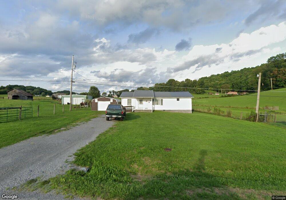
259 Shannons Branch Rd Cedar Bluff, VA 24609
Estimated Value: $91,000 - $129,000
2
Beds
1
Bath
1,200
Sq Ft
$95/Sq Ft
Est. Value
About This Home
This home is located at 259 Shannons Branch Rd, Cedar Bluff, VA 24609 and is currently estimated at $113,922, approximately $94 per square foot. 259 Shannons Branch Rd is a home located in Tazewell County.
Ownership History
Date
Name
Owned For
Owner Type
Purchase Details
Closed on
Apr 23, 2021
Sold by
Baldwin Dorothy
Bought by
Justice Michael L and Justice Phyllis
Current Estimated Value
Purchase Details
Closed on
Jun 4, 2019
Sold by
Colley Donald and Baldwin Dorothy
Bought by
Baldwin Dorothy
Purchase Details
Closed on
Apr 19, 2006
Sold by
Colley Brenda Faye
Bought by
Colley Donald and Baldwin Dorothy
Create a Home Valuation Report for This Property
The Home Valuation Report is an in-depth analysis detailing your home's value as well as a comparison with similar homes in the area
Purchase History
| Date | Buyer | Sale Price | Title Company |
|---|---|---|---|
| Justice Michael L | $75,000 | Powerhouse Title Group Llc | |
| Baldwin Dorothy | -- | None Available | |
| Colley Donald | -- | -- |
Source: Public Records
Tax History
| Year | Tax Paid | Tax Assessment Tax Assessment Total Assessment is a certain percentage of the fair market value that is determined by local assessors to be the total taxable value of land and additions on the property. | Land | Improvement |
|---|---|---|---|---|
| 2025 | $636 | $109,700 | $25,400 | $84,300 |
| 2023 | $410 | $70,700 | $13,600 | $57,100 |
| 2022 | $410 | $70,700 | $13,600 | $57,100 |
| 2021 | $410 | $70,700 | $13,600 | $57,100 |
| 2020 | $410 | $70,700 | $13,600 | $57,100 |
| 2019 | $410 | $70,700 | $13,600 | $57,100 |
| 2018 | $397 | $70,700 | $13,600 | $57,100 |
| 2017 | $397 | $72,100 | $13,600 | $58,500 |
| 2016 | -- | $72,100 | $13,600 | $58,500 |
| 2015 | -- | $72,100 | $13,600 | $58,500 |
| 2014 | -- | $72,100 | $13,600 | $58,500 |
| 2013 | -- | $72,100 | $13,600 | $58,500 |
Source: Public Records
Map
Nearby Homes
- TBD Cliff Rd
- 149 Cochran Hollow Rd
- TBD Lickbranch Rd
- 18537 Governor G C Peery Hwy
- 5910 Dry Fork Rd
- 18466 Governor George C Peery Hwy
- 386 Keen Rd
- TBD Dry Fork Rd
- 160 Riverbend Ln
- 624&638 Baptist Valley Rd
- 6426 Baptist Valley Rd
- 220 220 Easy St
- 4330 Ravens Nest Branch Rd
- 2906 Pounding Mill Branch Rd
- TBD Bandy Rd Whitaker Ridge Area
- 955 Wakefield Dr
- 7893 Baptist Valley Rd
- TBD Green Acres Rd
- 1532 Indian Creek Rd
- TBD Crab Orchard Rd
- 205 Shannons Branch Rd
- 184 Shannons Branch Rd
- 131 Davis Rd
- 140 Kassie St
- 140 Davis Rd
- 127 Kassie St
- 251 Davis Rd
- 3406 Baptist Valley Rd
- 271 Davis Rd
- 3460 Baptist Valley Rd
- 3341 Baptist Valley Rd
- 425 Shannons Branch Rd
- 331 Davis Rd
- 3375 Baptist Valley Rd
- 3399 Baptist Valley Rd
- 3291 Baptist Valley Rd
- 3435 Baptist Valley Rd
- 3411 Baptist Valley Rd
- 3249 Baptist Valley Rd
- 500 Shannons Branch Rd
Your Personal Tour Guide
Ask me questions while you tour the home.