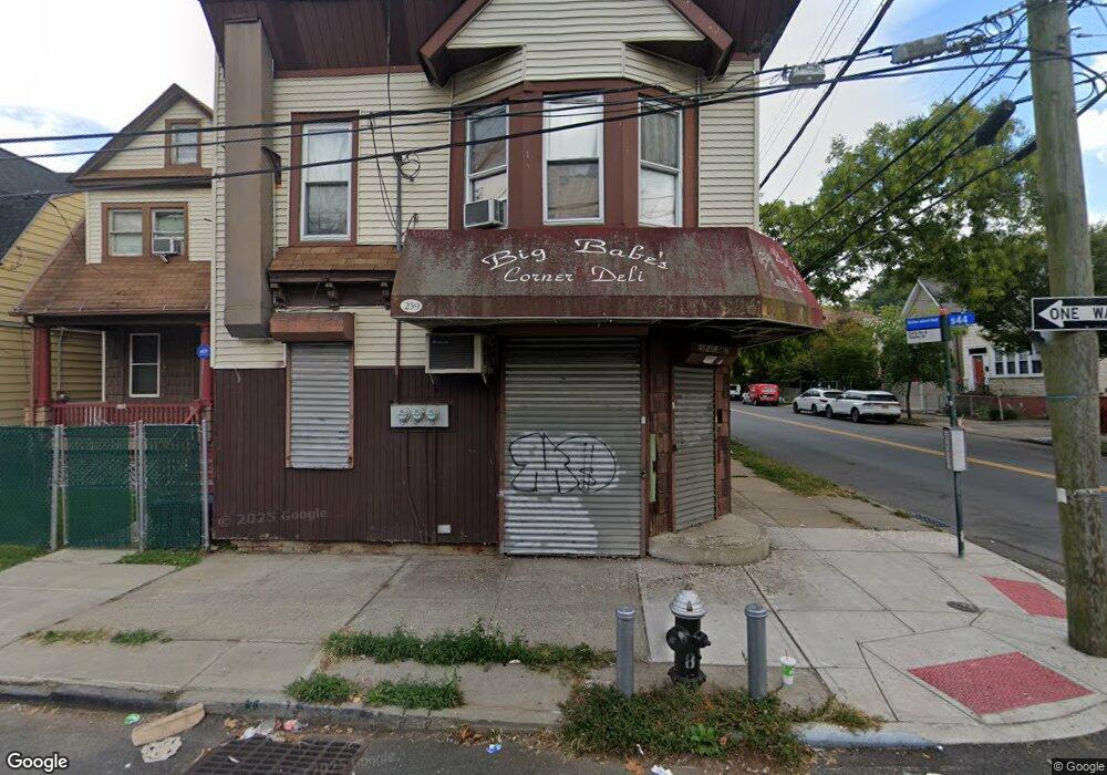
259 Taylor St Staten Island, NY 10310
West Brighton Neighborhood
--
Bed
--
Bath
2,000
Sq Ft
2,483
Sq Ft Lot
About This Home
This home is located at 259 Taylor St, Staten Island, NY 10310. 259 Taylor St is a home located in Richmond County with nearby schools including P.S. 19 The Curtis School, Intermediate School 27, and Susan E Wagner High School.
Ownership History
Date
Name
Owned For
Owner Type
Purchase Details
Closed on
Jan 22, 2024
Sold by
Maccallum Jenine and Ortiz Amanda
Bought by
Steven A Lamberti Living Trust and Lamberti
Purchase Details
Closed on
Jun 22, 2023
Sold by
Lamberti Family Irrevocable Residence Tr
Bought by
Steven A Lamberti Living Trust and Lamberti
Purchase Details
Closed on
Dec 2, 2017
Sold by
Lamberti James and Paternoster John
Bought by
Paternoster John and Maccallum Jenine
Create a Home Valuation Report for This Property
The Home Valuation Report is an in-depth analysis detailing your home's value as well as a comparison with similar homes in the area
Home Values in the Area
Average Home Value in this Area
Purchase History
| Date | Buyer | Sale Price | Title Company |
|---|---|---|---|
| Steven A Lamberti Living Trust | $180,000 | Old Republic Title | |
| Steven A Lamberti Living Trust | -- | None Listed On Document | |
| Paternoster John | -- | None Available |
Source: Public Records
Tax History Compared to Growth
Tax History
| Year | Tax Paid | Tax Assessment Tax Assessment Total Assessment is a certain percentage of the fair market value that is determined by local assessors to be the total taxable value of land and additions on the property. | Land | Improvement |
|---|---|---|---|---|
| 2025 | $3,686 | $34,920 | $5,973 | $28,947 |
| 2024 | $3,686 | $30,180 | $6,860 | $23,320 |
| 2023 | $3,517 | $17,317 | $5,603 | $11,714 |
| 2022 | $3,456 | $27,540 | $11,280 | $16,260 |
| 2021 | $3,437 | $24,840 | $6,900 | $17,940 |
| 2020 | $3,261 | $25,140 | $6,900 | $18,240 |
| 2019 | $3,200 | $23,520 | $6,900 | $16,620 |
| 2018 | $2,942 | $14,431 | $5,075 | $9,356 |
| 2017 | $2,941 | $14,426 | $5,386 | $9,040 |
| 2016 | $2,721 | $13,610 | $6,090 | $7,520 |
| 2015 | $2,446 | $12,840 | $6,900 | $5,940 |
| 2014 | $2,446 | $12,746 | $6,849 | $5,897 |
Source: Public Records
Map
Nearby Homes
- 582 Cary Ave
- 123 Roe St
- 722 Post Ave
- 62 Lyceum Ct
- 433 Clove Rd
- 46 Elizabeth St
- 1198 Castleton Ave
- 657 Delafield Ave
- 448 Clove Rd
- 704 Delafield Ave
- 771 Delafield Ave
- 143 Bodine St
- 61 Greenleaf Ave
- 77 Barker St
- 837 Delafield Ave Unit A
- 57 Barker St
- 1064 Castleton Ave
- 361 Broadway
- 173 Clove Rd
- 401 Broadway