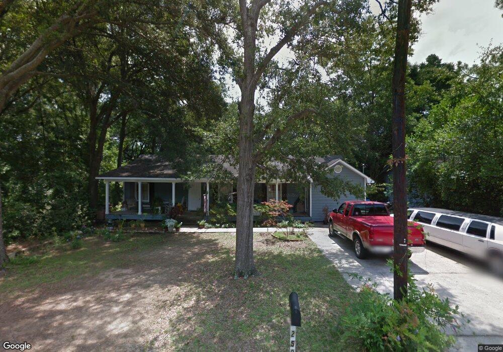
259 Thrift St Mobile, AL 36609
Jackson Heights NeighborhoodEstimated Value: $145,730 - $278,000
--
Bed
2
Baths
1,824
Sq Ft
$117/Sq Ft
Est. Value
About This Home
This home is located at 259 Thrift St, Mobile, AL 36609 and is currently estimated at $214,183, approximately $117 per square foot. 259 Thrift St is a home located in Mobile County with nearby schools including Elizabeth Fonde Elementary School, Burns Middle School, and WP Davidson High School.
Ownership History
Date
Name
Owned For
Owner Type
Purchase Details
Closed on
Feb 13, 1998
Sold by
Mims Pamela A and Mims Terry J
Bought by
Mcleod Terry J and Mcleod Pamela M
Current Estimated Value
Home Financials for this Owner
Home Financials are based on the most recent Mortgage that was taken out on this home.
Original Mortgage
$103,500
Interest Rate
6.86%
Create a Home Valuation Report for This Property
The Home Valuation Report is an in-depth analysis detailing your home's value as well as a comparison with similar homes in the area
Home Values in the Area
Average Home Value in this Area
Purchase History
| Date | Buyer | Sale Price | Title Company |
|---|---|---|---|
| Mcleod Terry J | $161,250 | -- |
Source: Public Records
Mortgage History
| Date | Status | Borrower | Loan Amount |
|---|---|---|---|
| Closed | Mcleod Terry J | $103,500 |
Source: Public Records
Tax History Compared to Growth
Tax History
| Year | Tax Paid | Tax Assessment Tax Assessment Total Assessment is a certain percentage of the fair market value that is determined by local assessors to be the total taxable value of land and additions on the property. | Land | Improvement |
|---|---|---|---|---|
| 2024 | $693 | $12,700 | $2,800 | $9,900 |
| 2023 | $717 | $13,110 | $2,800 | $10,310 |
| 2022 | $650 | $12,110 | $2,550 | $9,560 |
| 2021 | $650 | $12,110 | $2,550 | $9,560 |
| 2020 | $540 | $10,180 | $2,130 | $8,050 |
| 2019 | $528 | $9,980 | $0 | $0 |
| 2018 | $495 | $9,400 | $0 | $0 |
| 2017 | $481 | $9,160 | $0 | $0 |
| 2016 | $497 | $9,440 | $0 | $0 |
| 2013 | $705 | $10,180 | $0 | $0 |
Source: Public Records
Map
Nearby Homes
- 0 Bellevue Ln
- 236 Lakewood Dr E
- 241 Suzanne Cir
- 728 Spring Station Rd
- 233 Suzanne Cir
- 308 Mcqueen Ave
- 4457 Suzanne Cir
- 275 Hillcrest Dr
- 4256 Michael Blvd
- 708 Spring Oaks Ct
- 312 Gaines Ave
- 745 Westmoreland Dr E
- 363 Mcqueen Ave
- 3983 Wimbledon Park
- 3972 Wimbledon Park
- 4309 Packingham Dr
- 4317 Packingham Dr
- 4602 Sunset Dr N
- 365 Bourgeois Cir
- 312 Dogwood Dr
- 257 Thrift St
- 257 Thrift St Unit C/3,4,7
- 263 Thrift St
- 265 Thrift St
- 4309 Airport Blvd Unit 2
- 4309 Airport Blvd Unit 1
- 260 Mayflower St
- 4307 Airport Blvd
- 4307 Airport Blvd Unit C/3
- 258 Mayflower St
- 258 Mayflower St Unit C/4
- 256 Thrift St
- 260 Thrift St
- 264 Mayflower St
- 264 Thrift St
- 269 Thrift St
- 4301 Airport Blvd
- 252 Thrift St
- 266 Thrift St
- 250 Thrift St