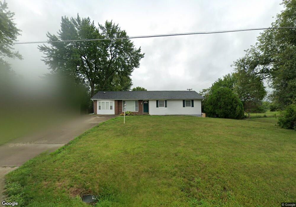
259 W Simon Blvd Holts Summit, MO 65043
Estimated Value: $204,922 - $274,000
Studio
1
Bath
1,709
Sq Ft
$147/Sq Ft
Est. Value
About This Home
This home is located at 259 W Simon Blvd, Holts Summit, MO 65043 and is currently estimated at $250,481, approximately $146 per square foot. 259 W Simon Blvd is a home with nearby schools including North Elementary School, Lewis & Clark Middle School, and Jefferson City High School.
Ownership History
Date
Name
Owned For
Owner Type
Purchase Details
Closed on
May 15, 2009
Sold by
George Diana and Forshee Sondra
Bought by
Soph Donald J
Current Estimated Value
Home Financials for this Owner
Home Financials are based on the most recent Mortgage that was taken out on this home.
Original Mortgage
$105,060
Outstanding Balance
$64,940
Interest Rate
4.77%
Mortgage Type
New Conventional
Estimated Equity
$185,541
Create a Home Valuation Report for This Property
The Home Valuation Report is an in-depth analysis detailing your home's value as well as a comparison with similar homes in the area
Home Values in the Area
Average Home Value in this Area
Purchase History
| Date | Buyer | Sale Price | Title Company |
|---|---|---|---|
| Soph Donald J | -- | None Available |
Source: Public Records
Mortgage History
| Date | Status | Borrower | Loan Amount |
|---|---|---|---|
| Open | Soph Donald J | $105,060 |
Source: Public Records
Tax History
| Year | Tax Paid | Tax Assessment Tax Assessment Total Assessment is a certain percentage of the fair market value that is determined by local assessors to be the total taxable value of land and additions on the property. | Land | Improvement |
|---|---|---|---|---|
| 2025 | $1,254 | $20,632 | $0 | $0 |
| 2024 | $1,254 | $20,632 | $0 | $0 |
| 2023 | $1,286 | $19,832 | $0 | $0 |
| 2022 | $1,236 | $19,832 | $1,495 | $18,337 |
| 2021 | $1,228 | $19,832 | $1,495 | $18,337 |
| 2020 | $1,244 | $19,832 | $1,495 | $18,337 |
| 2019 | $1,193 | $19,832 | $1,495 | $18,337 |
| 2018 | $1,208 | $20,024 | $1,495 | $18,529 |
| 2017 | $937 | $15,751 | $1,051 | $14,700 |
| 2016 | $803 | $15,750 | $0 | $0 |
| 2015 | $804 | $15,750 | $0 | $0 |
| 2014 | -- | $15,750 | $0 | $0 |
Source: Public Records
Map
Nearby Homes
- 255 W Simon Blvd
- 116 Spalding Rd
- 105 Spalding Rd
- 126 Spalding Rd
- 291 W Simon Blvd
- 115 Spalding Rd
- 136 Spalding Rd
- 125 Spalding Rd
- 135 Spalding Rd
- 221 W Simon Blvd
- 146 Spalding Rd
- 208 W Simon Blvd Unit 45
- 145 Spalding Rd
- 145 Rief Ct
- 125 Rief Ct
- 156 Spalding Rd
- 165 Rief Ct
- 135 Rief Ct
- 155 Rief Ct
- 155 Spalding Rd
Your Personal Tour Guide
Ask me questions while you tour the home.