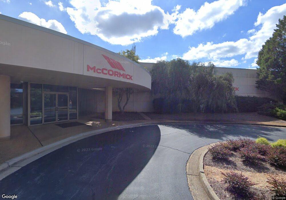
2590 Breckinridge Blvd Duluth, GA 30096
Estimated Value: $11,116,970
--
Bed
--
Bath
120,530
Sq Ft
$92/Sq Ft
Est. Value
About This Home
This home is located at 2590 Breckinridge Blvd, Duluth, GA 30096 and is currently estimated at $11,116,970, approximately $92 per square foot. 2590 Breckinridge Blvd is a home located in Gwinnett County with nearby schools including Baggett Elementary School, Richards Middle School, and Discovery High School.
Ownership History
Date
Name
Owned For
Owner Type
Purchase Details
Closed on
Mar 19, 2014
Sold by
Mainline Development Llc
Bought by
Mccormick International Usa In
Current Estimated Value
Purchase Details
Closed on
Mar 14, 2001
Sold by
Kato Spring/Ca Inc
Bought by
Mainline Dev Llc
Home Financials for this Owner
Home Financials are based on the most recent Mortgage that was taken out on this home.
Original Mortgage
$290,500
Interest Rate
7.09%
Mortgage Type
Commercial
Create a Home Valuation Report for This Property
The Home Valuation Report is an in-depth analysis detailing your home's value as well as a comparison with similar homes in the area
Home Values in the Area
Average Home Value in this Area
Purchase History
| Date | Buyer | Sale Price | Title Company |
|---|---|---|---|
| Mccormick International Usa In | $4,300,000 | -- | |
| Mainline Dev Llc | -- | -- |
Source: Public Records
Mortgage History
| Date | Status | Borrower | Loan Amount |
|---|---|---|---|
| Previous Owner | Mainline Dev Llc | $290,500 |
Source: Public Records
Tax History Compared to Growth
Tax History
| Year | Tax Paid | Tax Assessment Tax Assessment Total Assessment is a certain percentage of the fair market value that is determined by local assessors to be the total taxable value of land and additions on the property. | Land | Improvement |
|---|---|---|---|---|
| 2024 | $114,338 | $3,621,160 | $601,680 | $3,019,480 |
| 2023 | $114,338 | $2,260,000 | $779,960 | $1,480,040 |
| 2022 | $87,148 | $2,260,000 | $779,960 | $1,480,040 |
| 2021 | $88,568 | $2,260,000 | $779,960 | $1,480,040 |
| 2020 | $52,387 | $3,043,360 | $779,960 | $2,263,400 |
| 2019 | $50,529 | $1,248,000 | $893,840 | $354,160 |
| 2018 | $50,716 | $1,248,000 | $893,840 | $354,160 |
| 2016 | $50,663 | $1,248,000 | $893,840 | $354,160 |
| 2015 | $51,131 | $1,248,000 | $893,840 | $354,160 |
| 2014 | $51,407 | $1,248,000 | $893,840 | $354,160 |
Source: Public Records
Map
Nearby Homes
- 1646 Sandy Beach Point
- 1526 Viero Dr
- 1321 Sweet Woods Dr
- 1622 Halliard Dr
- 2588 Wild Rose Cir
- 1221 Buttercup Ct Unit 2
- 579 Collections Dr
- 2116 Tidal Cove
- 2163 Pebble Beach Dr
- 1601 Signal Flag Way
- 2720 Treehouse Ln
- 1210 Herrington Rd
- 2261 Ewell Park Dr
- 1587 Herrington Rd
- 3166 Creston Park Ct Unit 96
- 3191 Creston Park Ct Unit 132
- 1277 Parkside Club Dr Unit 1
- 1694 Herrington Rd
- 2700 Breckinridge Blvd Unit Suite A
- 1500 Boggs Rd
- 1475 Boggs Rd
- 1470 Boggs Rd
- 2100 Arbor Dr
- 2805 Hartington Place Unit 2/10
- 2805 Hartington Place
- 2795 Hartington Place Unit II
- 2801 Weston Brook Ct
- 2811 Weston Brook Ct
- 2811 Weston Brook Ct
- 2815 Hartington Place Unit 2
- 2790 Hartington Place
- 2821 Weston Brook Ct
- 2831 Weston Brook Ct
- 2851 Weston Brook Ct
- 2825 Hartington Place
- 2841 Weston Brook Ct Unit II
- 2808 Weston Brook Ct
- 2808 Weston Brook Ct