2590 Devine Rd Iron Station, NC 28080
Estimated Value: $392,000 - $555,132
About This Home
This home is located at 2590 Devine Rd, Iron Station, NC 28080 and is currently estimated at $479,783, approximately $234 per square foot. 2590 Devine Rd is a home located in Lincoln County with nearby schools including Iron Station Elementary School, East Lincoln Middle School, and East Lincoln High School.
Ownership History
We collect this data history from publicly available records. To have your information removed, we recommend requesting removal directly through your county’s website.
Purchase Details
Home Financials for this Owner
Home Financials are based on the most recent Mortgage that was taken out on this home.Purchase Details
Home Financials for this Owner
Home Financials are based on the most recent Mortgage that was taken out on this home.Purchase History
We collect this data history from publicly available records. To have your information removed, we recommend requesting removal directly through your county’s website.
| Date | Buyer | Sale Price | Title Company |
|---|---|---|---|
| $396,250 | Regent Law | ||
| $231,000 | None Available | ||
| $184,000 | None Available |
Mortgage History
We collect this data history from publicly available records. To have your information removed, we recommend requesting removal directly through your county’s website.
| Date | Status | Borrower | Loan Amount |
|---|---|---|---|
| Open | $356,625 | ||
| Previous Owner | $450,000 | ||
| Closed | $0 |
Tax History
We collect this data history from publicly available records. To have your information removed, we recommend requesting removal directly through your county’s website.
| Year | Tax Paid | Tax Assessment Tax Assessment Total Assessment is a certain percentage of the fair market value that is determined by local assessors to be the total taxable value of land and additions on the property. | Land | Improvement |
|---|---|---|---|---|
| 2025 | $3,464 | $532,769 | $121,850 | $410,919 |
| 2024 | $3,444 | $532,769 | $121,850 | $410,919 |
| 2023 | $3,439 | $532,769 | $121,850 | $410,919 |
| 2022 | $2,331 | $297,883 | $86,020 | $211,863 |
| 2021 | $2,331 | $297,883 | $86,020 | $211,863 |
| 2020 | $2,131 | $297,883 | $86,020 | $211,863 |
| 2019 | $2,131 | $297,883 | $86,020 | $211,863 |
| 2018 | $1,798 | $0 | $0 | $180,826 |
| 2017 | $3,155 | $433,639 | $252,813 | $180,826 |
| 2016 | $3,155 | $433,639 | $252,813 | $180,826 |
| 2015 | $3,178 | $433,639 | $252,813 | $180,826 |
| 2014 | $3,201 | $440,484 | $259,658 | $180,826 |
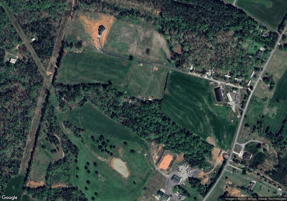
Map
- 821 Latrobe Dr
- 5329 E Highway 27 Hwy
- 3136 Philadelphia Church Rd
- 2031 Redskin Trail
- 3542 Orchard Rd
- 3132 Fox Den Cir
- 1259 Hardin Rd
- 3511 Randleman Rd
- 1753 Autumn Banks Way Unit 76p
- 1249 Hardin Rd
- 1625 Autumn Banks Way Unit 37p
- 1623 Autumn Banks Way Unit 36p
- 1619 Autumn Banks Way Unit 34p
- 382 Alexis High Shoals Rd
- 1621 Autumn Banks Way Unit 35p
- 1617 Autumn Banks Way Unit 33p
- 1222 Hardin Rd
- 1551 Autumn Banks Way Unit 23
- 324 Old Hardin Rd
- 1541 Autumn Banks Way Unit 18
- 2549 Colewood Ln
- 2463 Colewood Ln
- 2702 Devine Rd
- 2541 Devine Rd
- 2516 Devine Rd
- 2690 Greystone Ln
- 2495 Devine Rd
- 2569 Devine Rd
- 1698 Magnolia Grove Rd
- 2561 Devine Rd
- 2822 Greystone Ln
- 2721 Greystone Ln
- 2776 Devine Rd
- 2350 Colewood Ln Unit Millsaps land rd. 13
- Lot 5 Bryce Ln
- Lot 3 Bryce Ln
- 2473 Devine Rd
- 2645 Devine Rd
- Lot #6 Bryce Ln
- Lot 4 Bryce Ln
Ask me questions while you tour the home.