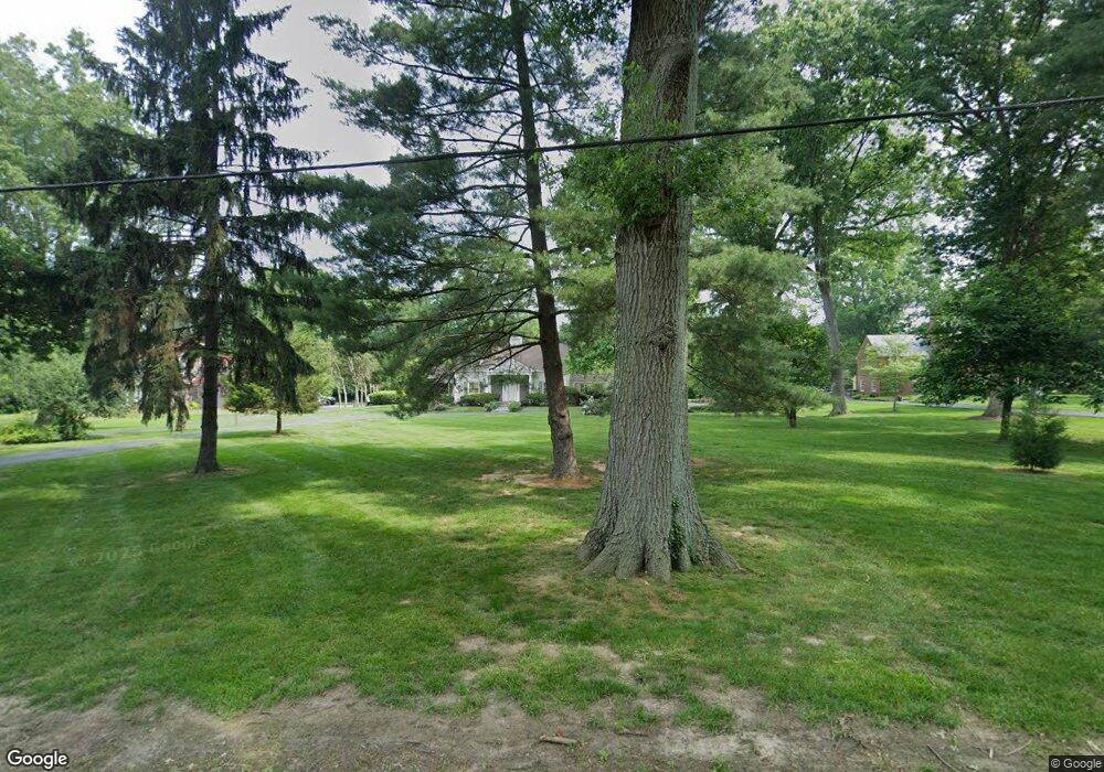
2590 Section Rd Cincinnati, OH 45237
Estimated Value: $598,000 - $837,000
3
Beds
3
Baths
3,105
Sq Ft
$224/Sq Ft
Est. Value
About This Home
This home is located at 2590 Section Rd, Cincinnati, OH 45237 and is currently estimated at $695,435, approximately $223 per square foot. 2590 Section Rd is a home located in Hamilton County with nearby schools including Pleasant Ridge Montessori School, Shroder High School, and Clark Montessori High School.
Ownership History
Date
Name
Owned For
Owner Type
Purchase Details
Closed on
Jan 20, 2014
Sold by
Keener Timothy Clark and Keener Sumana U
Bought by
Keener Timothy C and The Timothy C Keener 2014 Restated Trust
Current Estimated Value
Create a Home Valuation Report for This Property
The Home Valuation Report is an in-depth analysis detailing your home's value as well as a comparison with similar homes in the area
Home Values in the Area
Average Home Value in this Area
Purchase History
| Date | Buyer | Sale Price | Title Company |
|---|---|---|---|
| Keener Timothy C | -- | None Available |
Source: Public Records
Tax History
| Year | Tax Paid | Tax Assessment Tax Assessment Total Assessment is a certain percentage of the fair market value that is determined by local assessors to be the total taxable value of land and additions on the property. | Land | Improvement |
|---|---|---|---|---|
| 2025 | $9,859 | $173,555 | $35,980 | $137,575 |
| 2024 | $9,567 | $173,555 | $35,980 | $137,575 |
| 2023 | $9,829 | $173,555 | $35,980 | $137,575 |
| 2022 | $8,571 | $132,976 | $33,691 | $99,285 |
| 2021 | $8,338 | $132,976 | $33,691 | $99,285 |
| 2020 | $8,482 | $132,976 | $33,691 | $99,285 |
| 2019 | $9,059 | $129,105 | $32,711 | $96,394 |
| 2018 | $9,075 | $129,105 | $32,711 | $96,394 |
| 2017 | $8,660 | $129,105 | $32,711 | $96,394 |
| 2016 | $9,381 | $133,690 | $32,711 | $100,979 |
| 2015 | $8,515 | $133,690 | $32,711 | $100,979 |
| 2014 | $8,574 | $133,690 | $32,711 | $100,979 |
| 2013 | $8,480 | $121,534 | $29,736 | $91,798 |
Source: Public Records
Map
Nearby Homes
- 2537 Vera Ave
- 2539 Vera Ave
- 2541 Vera Ave
- 2543 Vera Ave
- 2758 Losantiridge Ave
- 6770 Elbrook Ave
- 6750 Elbrook Ave
- 2806 Losantiridge Ave
- 2344 Losantiville Ave
- 2327 Losantiville Ave
- 2526 Bremont Ave
- 7510 Fernwood Dr
- 2824 Cortelyou Place
- 6610 Hudson Pkwy
- 6501 Ridge Ave
- 1849 Greenbriar Place
- 6211 Bona Vista Place
- 6251 Elbrook Ave
- 6202 Mayflower Ave
- 1808 Crest Hill Ave
- 2580 Section Rd
- 2606 Section Rd
- 6942 Fair Oaks Dr
- 2626 Section Rd
- 2501 Willowbrook Dr
- 2589 Willowbrook Dr
- 7000 Fair Oaks Dr
- 2601 Willowbrook Dr
- 2601 Section Rd
- 2635 Section Rd
- 2664 Section Rd
- 2609 Willowbrook Dr
- 6945 Fair Oaks Dr
- 6890 Fair Oaks Dr
- 7011 Fair Oaks Dr
- 6885 Fair Oaks Dr
- 2665 Section Rd
- 2500 Willowbrook Dr
- 2590 Willowbrook Dr
- 2690 Section Rd
