2591 Morningstar Rd Manasquan, NJ 08736
Estimated Value: $885,990 - $923,000
2
Beds
1
Bath
2,059
Sq Ft
$440/Sq Ft
Est. Value
About This Home
This home is located at 2591 Morningstar Rd, Manasquan, NJ 08736 and is currently estimated at $905,248, approximately $439 per square foot. 2591 Morningstar Rd is a home located in Monmouth County with nearby schools including Wall High School, The Brookside School, and St Dominic School.
Ownership History
Date
Name
Owned For
Owner Type
Purchase Details
Closed on
Aug 19, 2024
Sold by
Groeschke Lorraine
Bought by
Charles T Groeschke And Lorraine S Groeschke and Groeschke
Current Estimated Value
Purchase Details
Closed on
Nov 17, 2003
Sold by
Henneberger Albin
Bought by
Groeschke Charles and Groeschke Lorraine
Purchase Details
Closed on
Sep 25, 1998
Sold by
Hovnanian K
Bought by
Henneberger Albin and Henneberger Carolyn
Home Financials for this Owner
Home Financials are based on the most recent Mortgage that was taken out on this home.
Original Mortgage
$200,000
Interest Rate
6.64%
Create a Home Valuation Report for This Property
The Home Valuation Report is an in-depth analysis detailing your home's value as well as a comparison with similar homes in the area
Home Values in the Area
Average Home Value in this Area
Purchase History
| Date | Buyer | Sale Price | Title Company |
|---|---|---|---|
| Charles T Groeschke And Lorraine S Groeschke | -- | First American Title Insurance | |
| Charles T Groeschke And Lorraine S Groeschke | -- | First American Title Insurance | |
| Groeschke Charles | $525,000 | -- | |
| Henneberger Albin | $282,049 | -- |
Source: Public Records
Mortgage History
| Date | Status | Borrower | Loan Amount |
|---|---|---|---|
| Previous Owner | Henneberger Albin | $200,000 |
Source: Public Records
Tax History Compared to Growth
Tax History
| Year | Tax Paid | Tax Assessment Tax Assessment Total Assessment is a certain percentage of the fair market value that is determined by local assessors to be the total taxable value of land and additions on the property. | Land | Improvement |
|---|---|---|---|---|
| 2025 | $11,289 | $535,000 | $336,900 | $198,100 |
| 2024 | $10,951 | $535,000 | $336,900 | $198,100 |
| 2023 | $10,951 | $535,000 | $336,900 | $198,100 |
| 2022 | $10,684 | $535,000 | $336,900 | $198,100 |
| 2021 | $10,684 | $535,000 | $336,900 | $198,100 |
| 2020 | $10,556 | $535,000 | $336,900 | $198,100 |
| 2019 | $10,427 | $535,000 | $336,900 | $198,100 |
| 2018 | $10,336 | $535,000 | $336,900 | $198,100 |
| 2017 | $10,133 | $535,000 | $336,900 | $198,100 |
| 2016 | $10,293 | $555,200 | $336,900 | $218,300 |
| 2015 | $9,151 | $310,200 | $126,100 | $184,100 |
| 2014 | $8,681 | $301,000 | $116,900 | $184,100 |
Source: Public Records
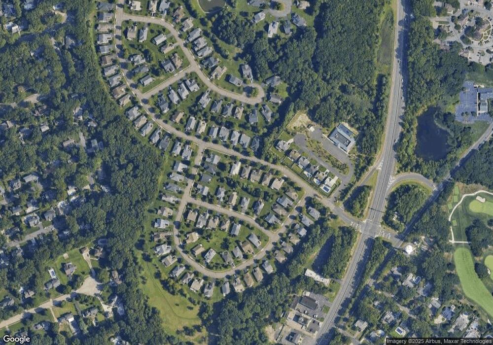
Map
Nearby Homes
- 2619 Lantern Light Way
- 2575 Morningstar Rd
- 1545 Harbor Rd
- 651 Oceanview Rd
- 1582 Horseshoe Dr
- 2578 Collier Rd
- 31 Mulberry Ct Unit C
- 647 Valley Rd
- 1544 Harvest Ln
- 23 Mulberry Ct Unit D
- 846 William Dr
- 2567 River Rd
- 2568 Curriers Place
- 2511 Morningstar Rd
- 7 Hickory Ct Unit A
- 5 Hickory Ct Unit B
- 816 Rathjen Rd
- 2639 River Rd
- 2547 River Rd
- 2528 River Rd
- 2593 Morningstar Rd
- 2589 Morningstar Rd
- 2595 Morningstar Rd
- 1502 Sawyer Ave
- 1504 Sawyer Ave
- 2592 Morningstar Rd
- 2590 Morningstar Rd
- 1506 Sawyer Ave
- 2582 Lantern Light Way
- 2597 Morningstar Rd
- 2584 Lantern Light Way
- 2588 Morningstar Rd
- 1500 Sawyer Ave
- 2586 Lantern Light Way
- 2586 Morningstar Rd
- 2588 Lantern Light Way
- 2628 Lantern Light Way
- 2630 Lantern Light Way
- 2626 Lantern Light Way
- 2584 Morningstar Rd