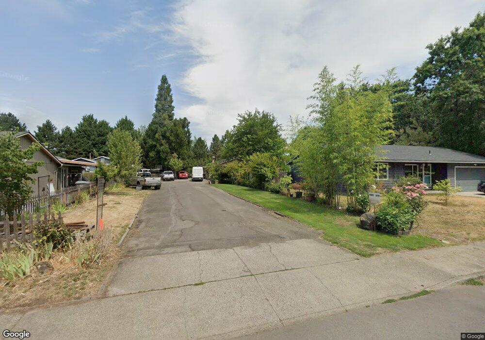
2591 NE Grant St Hillsboro, OR 97124
Central Hillsboro NeighborhoodEstimated Value: $495,000 - $538,000
3
Beds
2
Baths
1,539
Sq Ft
$331/Sq Ft
Est. Value
About This Home
This home is located at 2591 NE Grant St, Hillsboro, OR 97124 and is currently estimated at $508,952, approximately $330 per square foot. 2591 NE Grant St is a home located in Washington County with nearby schools including Eastwood Elementary School, J.W. Poynter Middle School, and Liberty High School.
Ownership History
Date
Name
Owned For
Owner Type
Purchase Details
Closed on
Jun 1, 1998
Sold by
Willoughby Vaughn G and Willoughby Jacquetta
Bought by
Tellez Adolfo and Diaz Dioselina
Current Estimated Value
Home Financials for this Owner
Home Financials are based on the most recent Mortgage that was taken out on this home.
Original Mortgage
$133,231
Outstanding Balance
$26,769
Interest Rate
7.1%
Estimated Equity
$482,183
Create a Home Valuation Report for This Property
The Home Valuation Report is an in-depth analysis detailing your home's value as well as a comparison with similar homes in the area
Home Values in the Area
Average Home Value in this Area
Purchase History
| Date | Buyer | Sale Price | Title Company |
|---|---|---|---|
| Tellez Adolfo | $134,800 | Pacific Nw Title |
Source: Public Records
Mortgage History
| Date | Status | Borrower | Loan Amount |
|---|---|---|---|
| Open | Tellez Adolfo | $133,231 |
Source: Public Records
Tax History Compared to Growth
Tax History
| Year | Tax Paid | Tax Assessment Tax Assessment Total Assessment is a certain percentage of the fair market value that is determined by local assessors to be the total taxable value of land and additions on the property. | Land | Improvement |
|---|---|---|---|---|
| 2025 | $3,366 | $205,900 | -- | -- |
| 2024 | $3,270 | $199,910 | -- | -- |
| 2023 | $3,270 | $194,090 | $0 | $0 |
| 2022 | $3,181 | $194,090 | $0 | $0 |
| 2021 | $3,117 | $182,960 | $0 | $0 |
| 2020 | $3,050 | $177,640 | $0 | $0 |
| 2019 | $2,963 | $172,470 | $0 | $0 |
| 2018 | $2,836 | $167,450 | $0 | $0 |
| 2017 | $2,733 | $162,580 | $0 | $0 |
| 2016 | $2,658 | $157,850 | $0 | $0 |
| 2015 | $2,551 | $153,260 | $0 | $0 |
| 2014 | $2,537 | $148,800 | $0 | $0 |
Source: Public Records
Map
Nearby Homes
- 2570 NE Grant St
- 2411 NE Hyde St
- 319 NE Hyde Cir
- 3029 NE Azalea St
- 1822 NE Barberry Dr
- 461 NE 16th Ave
- 2080 NE Darby St
- 3585 NE Brogden St
- 240 SE 26th Ave
- 166 SE 30th Ave
- 1740 NE Darby St
- 3478 NE Lincoln St
- 165 SE 33rd Ave
- 1303 NE Cornell Rd
- 1269 NE Grant St
- 3135 SE Brian St
- 1184 NE Turner Dr
- 379 SE 34th Ct
- 1043 NE Sturgess Ave
- 1455 NE Jessica Loop
- 2617 NE Grant St
- 2569 NE Grant St
- 2629 NE Grant St
- 2537 NE Grant St
- 2669 NE Grant St
- 2624 NE Grant St
- 2639 NE Grant St
- 2509 NE Grant St
- 2622 NE Grant St
- 2588 NE Grant St
- 2697 NE Grant St
- 2644 NE Grant St
- 2735 NE Grant St
- 2676 NE Grant St
- 2493 NE Grant St
- 2548 NE Grant St
- 587 NE 27th Ct
- 2759 NE Grant St
- 588 NE 27th Ct
- 2730 NE Grant St