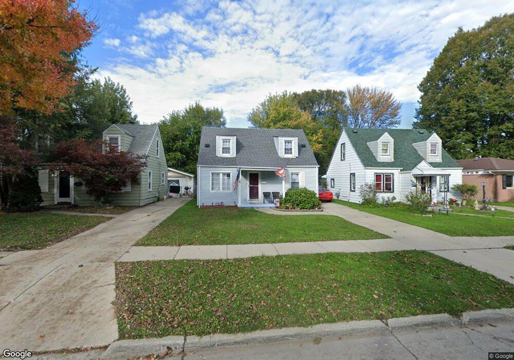
25912 Powers Ave Dearborn Heights, MI 48125
Estimated Value: $146,348 - $176,000
2
Beds
1
Bath
1,072
Sq Ft
$153/Sq Ft
Est. Value
About This Home
This home is located at 25912 Powers Ave, Dearborn Heights, MI 48125 and is currently estimated at $164,087, approximately $153 per square foot. 25912 Powers Ave is a home located in Wayne County with nearby schools including Quest Charter Academy, West Village Academy, and Peterson-Warren Academy.
Ownership History
Date
Name
Owned For
Owner Type
Purchase Details
Closed on
Jan 13, 2010
Sold by
Foor Kenneth
Bought by
Federal Home Loan Mortgage Corp
Current Estimated Value
Purchase Details
Closed on
May 24, 2002
Sold by
Peruski Albert
Bought by
Foor Kenneth
Home Financials for this Owner
Home Financials are based on the most recent Mortgage that was taken out on this home.
Original Mortgage
$98,224
Interest Rate
6.29%
Mortgage Type
Purchase Money Mortgage
Purchase Details
Closed on
May 20, 2002
Sold by
Beagle Rebecca M
Bought by
Foor Kenneth
Home Financials for this Owner
Home Financials are based on the most recent Mortgage that was taken out on this home.
Original Mortgage
$98,224
Interest Rate
6.29%
Mortgage Type
Purchase Money Mortgage
Create a Home Valuation Report for This Property
The Home Valuation Report is an in-depth analysis detailing your home's value as well as a comparison with similar homes in the area
Home Values in the Area
Average Home Value in this Area
Purchase History
| Date | Buyer | Sale Price | Title Company |
|---|---|---|---|
| Federal Home Loan Mortgage Corp | $17,100 | None Available | |
| Foor Kenneth | $99,000 | -- | |
| Foor Kenneth | -- | -- |
Source: Public Records
Mortgage History
| Date | Status | Borrower | Loan Amount |
|---|---|---|---|
| Previous Owner | Foor Kenneth | $98,224 |
Source: Public Records
Tax History
| Year | Tax Paid | Tax Assessment Tax Assessment Total Assessment is a certain percentage of the fair market value that is determined by local assessors to be the total taxable value of land and additions on the property. | Land | Improvement |
|---|---|---|---|---|
| 2025 | $1,510 | $68,300 | $0 | $0 |
| 2024 | $1,452 | $56,900 | $0 | $0 |
| 2023 | $1,319 | $49,000 | $0 | $0 |
| 2022 | $1,940 | $41,300 | $0 | $0 |
| 2021 | $1,925 | $36,300 | $0 | $0 |
| 2019 | $1,783 | $28,800 | $0 | $0 |
| 2018 | $1,144 | $27,500 | $0 | $0 |
| 2017 | $1,178 | $26,800 | $0 | $0 |
| 2016 | $1,694 | $27,200 | $0 | $0 |
| 2015 | $2,540 | $25,400 | $0 | $0 |
| 2013 | $2,760 | $28,800 | $0 | $0 |
| 2010 | -- | $34,500 | $0 | $0 |
Source: Public Records
Map
Nearby Homes
- 25926 Powers Ave
- 000 Currier St
- 25965 Currier St
- 26214 Pennie St
- 25541 Hanover St
- 26225 McDonald St
- 25474 McDonald St
- 25513 Annapolis St
- 5845 Beech Daly Rd
- 5842 Janet St
- 26051 Lehigh St
- 5904 Janet St
- 5367 Vivian St
- 26532 Powers Ave
- 26159 Stanford St
- 25646 Stanford St
- 26327 Lehigh St
- 26439 Hopkins St
- 25236 Hopkins St
- 6041 Fellrath St
- 25908 Powers Ave
- 25918 Powers Ave
- 25872 Powers Ave
- 25934 Powers Ave
- 25913 Pennie St
- 25919 Pennie St
- 25883 Pennie St
- 25862 Powers Ave
- 25940 Powers Ave
- 25927 Pennie St
- 25935 Pennie St
- 25863 Pennie St
- 25950 Powers Ave
- 25838 Powers Ave
- 25913 Powers Ave
- 25919 Powers Ave Unit Bldg-Unit
- 25919 Powers Ave
- 25851 Pennie St
- 25941 Pennie St
- 25927 Powers Ave
Your Personal Tour Guide
Ask me questions while you tour the home.