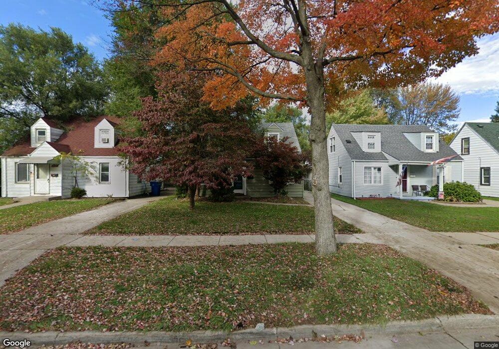
25918 Powers Ave Dearborn Heights, MI 48125
Estimated Value: $144,000 - $154,000
3
Beds
1
Bath
1,110
Sq Ft
$132/Sq Ft
Est. Value
About This Home
This home is located at 25918 Powers Ave, Dearborn Heights, MI 48125 and is currently estimated at $146,978, approximately $132 per square foot. 25918 Powers Ave is a home located in Wayne County with nearby schools including Quest Charter Academy, West Village Academy, and Peterson-Warren Academy.
Ownership History
Date
Name
Owned For
Owner Type
Purchase Details
Closed on
Jun 22, 2010
Sold by
Donovan Shaun
Bought by
Alhusseinawi Ali
Current Estimated Value
Purchase Details
Closed on
Dec 21, 2009
Sold by
Us Bank Na
Bought by
Us Department Of Housing & Urban Develop
Purchase Details
Closed on
Jan 21, 2009
Sold by
Frame Eugene T
Bought by
Us Bank Na
Purchase Details
Closed on
Mar 4, 2002
Sold by
Frame Eugene T
Bought by
Frame Eugene T
Purchase Details
Closed on
Mar 23, 2001
Sold by
Brasch Patricia
Bought by
Frame Eugene T
Create a Home Valuation Report for This Property
The Home Valuation Report is an in-depth analysis detailing your home's value as well as a comparison with similar homes in the area
Home Values in the Area
Average Home Value in this Area
Purchase History
| Date | Buyer | Sale Price | Title Company |
|---|---|---|---|
| Alhusseinawi Ali | $25,000 | None Available | |
| Us Department Of Housing & Urban Develop | -- | None Available | |
| Us Bank Na | $97,867 | None Available | |
| Frame Eugene T | -- | -- | |
| Frame Eugene T | $102,500 | -- |
Source: Public Records
Mortgage History
| Date | Status | Borrower | Loan Amount |
|---|---|---|---|
| Closed | Frame Eugene T | -- |
Source: Public Records
Tax History Compared to Growth
Tax History
| Year | Tax Paid | Tax Assessment Tax Assessment Total Assessment is a certain percentage of the fair market value that is determined by local assessors to be the total taxable value of land and additions on the property. | Land | Improvement |
|---|---|---|---|---|
| 2025 | $1,377 | $65,500 | $0 | $0 |
| 2024 | $1,377 | $54,500 | $0 | $0 |
| 2023 | $2,547 | $46,800 | $0 | $0 |
| 2022 | $1,841 | $39,500 | $0 | $0 |
| 2021 | $1,826 | $34,800 | $0 | $0 |
| 2019 | $1,692 | $27,200 | $0 | $0 |
| 2018 | $1,085 | $26,100 | $0 | $0 |
| 2017 | $1,118 | $25,500 | $0 | $0 |
| 2016 | $1,168 | $25,900 | $0 | $0 |
| 2015 | $2,410 | $24,100 | $0 | $0 |
| 2013 | $2,620 | $27,400 | $0 | $0 |
| 2010 | -- | $32,000 | $0 | $0 |
Source: Public Records
Map
Nearby Homes
- 25926 Powers Ave
- 25965 Currier St
- 26106 Powers Ave
- 25628 Powers Ave
- 25895 Annapolis St
- 26225 McDonald St
- 5845 Beech Daly Rd
- 25474 McDonald St
- 5842 Janet St
- 26532 Powers Ave
- 5118 Michael St
- 5961 Marvin St
- 5961 Beech Daly Rd
- 5904 Janet St
- 26159 Stanford St
- 26439 Hopkins St
- 4863 Glenis St
- 26458 Hopkins St
- 26202 Colgate St
- 25243 Lehigh St
- 25912 Powers Ave
- 25908 Powers Ave
- 25934 Powers Ave
- 25872 Powers Ave
- 25940 Powers Ave
- 25919 Pennie St
- 25927 Pennie St
- 25913 Pennie St
- 25950 Powers Ave
- 25935 Pennie St
- 25883 Pennie St
- 25941 Pennie St
- 25873 Pennie St
- 25862 Powers Ave
- 25919 Powers Ave Unit Bldg-Unit
- 25919 Powers Ave
- 25913 Powers Ave
- 25927 Powers Ave
- 25951 Pennie St
- 25863 Pennie St