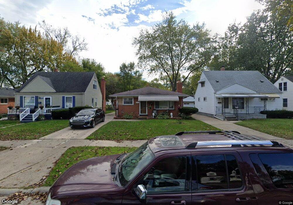
25919 Powers Ave Unit Bldg-Unit Dearborn Heights, MI 48125
Estimated Value: $145,000 - $187,000
3
Beds
2
Baths
981
Sq Ft
$172/Sq Ft
Est. Value
About This Home
This home is located at 25919 Powers Ave Unit Bldg-Unit, Dearborn Heights, MI 48125 and is currently estimated at $168,693, approximately $171 per square foot. 25919 Powers Ave Unit Bldg-Unit is a home located in Wayne County with nearby schools including Quest Charter Academy, West Village Academy, and Peterson-Warren Academy.
Ownership History
Date
Name
Owned For
Owner Type
Purchase Details
Closed on
Apr 3, 2018
Sold by
Hussein Mohamad
Bought by
Ogburn Bernard J
Current Estimated Value
Purchase Details
Closed on
Nov 30, 2017
Sold by
Fannie Mae
Bought by
Hussein Mohamad
Purchase Details
Closed on
Mar 9, 2017
Sold by
Pidruzny William and Pidruzny Elizabeth J
Bought by
Federal National Mortgage Association
Purchase Details
Closed on
May 25, 2004
Sold by
Carey Joseph S and Chavis Mary L
Bought by
Pidruzny William
Purchase Details
Closed on
Feb 9, 2001
Sold by
Carey Marion D and Carey Louis J
Bought by
Carey Marion D
Create a Home Valuation Report for This Property
The Home Valuation Report is an in-depth analysis detailing your home's value as well as a comparison with similar homes in the area
Home Values in the Area
Average Home Value in this Area
Purchase History
| Date | Buyer | Sale Price | Title Company |
|---|---|---|---|
| Ogburn Bernard J | $103,105 | Hometown One Title Agency Ll | |
| Hussein Mohamad | $52,000 | First Title & Escrow Inc | |
| Federal National Mortgage Association | $42,700 | None Available | |
| Fedral National Mortgage Assoction | $42,700 | None Available | |
| Pidruzny William | $118,900 | Multiple | |
| Carey Marion D | -- | -- |
Source: Public Records
Tax History Compared to Growth
Tax History
| Year | Tax Paid | Tax Assessment Tax Assessment Total Assessment is a certain percentage of the fair market value that is determined by local assessors to be the total taxable value of land and additions on the property. | Land | Improvement |
|---|---|---|---|---|
| 2025 | $1,503 | $82,600 | $0 | $0 |
| 2024 | $1,503 | $69,900 | $0 | $0 |
| 2023 | $1,350 | $60,100 | $0 | $0 |
| 2022 | $1,830 | $50,300 | $0 | $0 |
| 2021 | $1,833 | $44,000 | $0 | $0 |
| 2019 | $1,671 | $34,700 | $0 | $0 |
| 2018 | $1,151 | $34,900 | $0 | $0 |
| 2017 | $903 | $33,900 | $0 | $0 |
| 2016 | $2,073 | $34,500 | $0 | $0 |
| 2015 | $3,230 | $32,300 | $0 | $0 |
| 2013 | $3,590 | $36,800 | $0 | $0 |
| 2010 | -- | $45,200 | $0 | $0 |
Source: Public Records
Map
Nearby Homes
- 25926 Powers Ave
- 25965 Currier St
- 26106 Powers Ave
- 25628 Powers Ave
- 25895 Annapolis St
- 26225 McDonald St
- 5845 Beech Daly Rd
- 5842 Janet St
- 5961 Marvin St
- 25474 McDonald St
- 26532 Powers Ave
- 5961 Beech Daly Rd
- 5904 Janet St
- 5118 Michael St
- 26439 Hopkins St
- 26159 Stanford St
- 4863 Glenis St
- 6075 Duncan St
- 26458 Hopkins St
- 6179 Fellrath St
- 25919 Powers Ave
- 25927 Powers Ave
- 25913 Powers Ave
- 25935 Powers Ave Unit Bldg-Unit
- 25935 Powers Ave
- 25909 Powers Ave
- 25941 Powers Ave
- 25936 Currier St
- 25954 Currier St
- 25951 Powers Ave
- 25918 Currier St
- 25962 Currier St
- 25963 Powers Ave
- 25851 Powers Ave
- 25918 Powers Ave
- 25912 Powers Ave
- 25906 Currier St
- 25972 Currier St
- 25934 Powers Ave
- 25908 Powers Ave