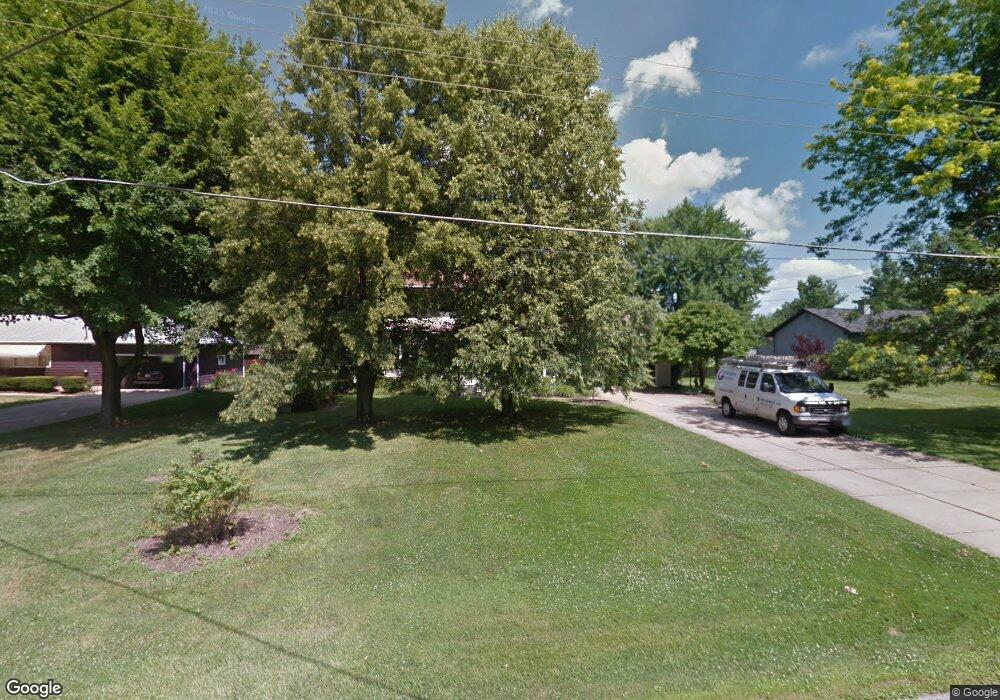
2593 Action Dr Barberton, OH 44203
Estimated Value: $319,000 - $406,000
4
Beds
3
Baths
2,720
Sq Ft
$132/Sq Ft
Est. Value
About This Home
This home is located at 2593 Action Dr, Barberton, OH 44203 and is currently estimated at $358,469, approximately $131 per square foot. 2593 Action Dr is a home located in Summit County with nearby schools including Copley-Fairlawn Middle School, Copley High School, and Spring Garden Waldorf School.
Ownership History
Date
Name
Owned For
Owner Type
Purchase Details
Closed on
Jan 12, 2005
Sold by
Trenner Mark P and Trenner Carolyn S
Bought by
Trenner Mark P and Trenner Carolyn S
Current Estimated Value
Purchase Details
Closed on
Feb 24, 1998
Sold by
Herman David A
Bought by
Trenner Mark P and Trenner Carolyn S
Home Financials for this Owner
Home Financials are based on the most recent Mortgage that was taken out on this home.
Original Mortgage
$71,500
Outstanding Balance
$13,045
Interest Rate
6.99%
Mortgage Type
New Conventional
Estimated Equity
$345,424
Create a Home Valuation Report for This Property
The Home Valuation Report is an in-depth analysis detailing your home's value as well as a comparison with similar homes in the area
Home Values in the Area
Average Home Value in this Area
Purchase History
| Date | Buyer | Sale Price | Title Company |
|---|---|---|---|
| Trenner Mark P | -- | -- | |
| Trenner Mark P | $146,500 | -- |
Source: Public Records
Mortgage History
| Date | Status | Borrower | Loan Amount |
|---|---|---|---|
| Open | Trenner Mark P | $71,500 |
Source: Public Records
Tax History
| Year | Tax Paid | Tax Assessment Tax Assessment Total Assessment is a certain percentage of the fair market value that is determined by local assessors to be the total taxable value of land and additions on the property. | Land | Improvement |
|---|---|---|---|---|
| 2025 | $4,964 | $93,829 | $9,951 | $83,878 |
| 2024 | $4,964 | $93,829 | $9,951 | $83,878 |
| 2023 | $4,964 | $93,829 | $9,951 | $83,878 |
| 2022 | $5,621 | $87,035 | $9,216 | $77,819 |
| 2021 | $5,186 | $87,035 | $9,216 | $77,819 |
| 2020 | $5,062 | $87,040 | $9,220 | $77,820 |
| 2019 | $5,026 | $77,950 | $9,220 | $68,730 |
| 2018 | $4,779 | $77,950 | $9,220 | $68,730 |
| 2017 | $4,129 | $77,950 | $9,220 | $68,730 |
| 2016 | $4,123 | $64,660 | $9,220 | $55,440 |
| 2015 | $4,129 | $64,660 | $9,220 | $55,440 |
| 2014 | $4,100 | $64,660 | $9,220 | $55,440 |
| 2013 | $4,452 | $71,220 | $9,220 | $62,000 |
Source: Public Records
Map
Nearby Homes
- 3246 Stimson Rd
- 2958 Moyer Ave
- 2430 S Hametown Rd
- 2938 S Hametown Rd
- 2950 Colon Dr
- 2973 Colon Dr
- 2887 Greenridge Rd
- 3730 S Sunnyfield Dr
- 1772 Lakeland Ave
- 1569 Denise Dr
- 2943 S/L 5 Willow Way
- 2910 S/L 17 Willow Way
- 2891 S/L 10 Willow Way
- 1605 Centerview Dr
- 2971 S/L 2 Willow Way
- 2902 S/L 16 Willow Way
- 3658 Knecht Rd
- 3795 N Sunnyfield Dr
- 2752 Copley Rd
- 3754 Alumina Dr
Your Personal Tour Guide
Ask me questions while you tour the home.