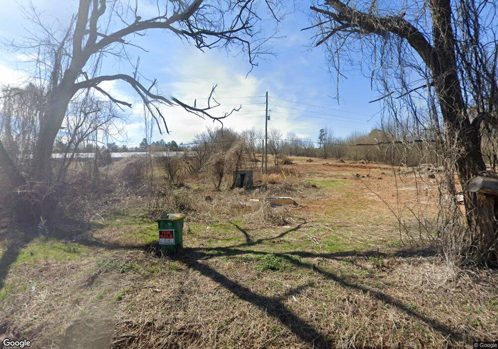
2593 Camp Rd Jasper, GA 30143
Estimated Value: $11,658 - $217,000
Studio
1
Bath
672
Sq Ft
$189/Sq Ft
Est. Value
About This Home
This home is located at 2593 Camp Rd, Jasper, GA 30143 and is currently estimated at $126,915, approximately $188 per square foot. 2593 Camp Rd is a home located in Pickens County with nearby schools including Harmony Elementary School, Pickens County Middle School, and Pickens County High School.
Ownership History
Date
Name
Owned For
Owner Type
Purchase Details
Closed on
Nov 7, 2017
Sold by
Pickens County Tax Comm
Bought by
James Crowe
Current Estimated Value
Purchase Details
Closed on
May 21, 1992
Sold by
Lakus Ted M
Bought by
Mullinax L H
Purchase Details
Closed on
Dec 8, 1988
Sold by
Henderson Timothy
Bought by
Lakus Ted M
Purchase Details
Closed on
Jul 18, 1983
Sold by
Boling Charlie C
Bought by
Henderson Timothy
Purchase Details
Closed on
Jan 1, 1981
Bought by
Boling Charlie C
Create a Home Valuation Report for This Property
The Home Valuation Report is an in-depth analysis detailing your home's value as well as a comparison with similar homes in the area
Home Values in the Area
Average Home Value in this Area
Purchase History
| Date | Buyer | Sale Price | Title Company |
|---|---|---|---|
| James Crowe | $6,000 | -- | |
| Mullinax L H | $20,000 | -- | |
| Lakus Ted M | $18,000 | -- | |
| Henderson Timothy | $12,000 | -- | |
| Boling Charlie C | -- | -- |
Source: Public Records
Tax History
| Year | Tax Paid | Tax Assessment Tax Assessment Total Assessment is a certain percentage of the fair market value that is determined by local assessors to be the total taxable value of land and additions on the property. | Land | Improvement |
|---|---|---|---|---|
| 2025 | $254 | $14,000 | $14,000 | $0 |
| 2024 | $277 | $14,000 | $14,000 | $0 |
| 2023 | $285 | $14,000 | $14,000 | $0 |
| 2022 | $285 | $14,000 | $14,000 | $0 |
| 2021 | $244 | $11,205 | $10,000 | $1,205 |
| 2020 | $189 | $8,424 | $2,400 | $6,024 |
| 2019 | $286 | $12,446 | $2,400 | $10,046 |
| 2018 | $288 | $12,446 | $2,400 | $10,046 |
| 2017 | $293 | $12,446 | $2,400 | $10,046 |
| 2016 | $298 | $12,446 | $2,400 | $10,046 |
| 2015 | $291 | $12,446 | $2,400 | $10,046 |
| 2014 | $291 | $12,446 | $2,400 | $10,046 |
| 2013 | -- | $12,446 | $2,400 | $10,046 |
Source: Public Records
Map
Nearby Homes
- 2860 Camp Rd
- 217 Robin Rd
- 0 Hickory Trail Unit 405391
- 0 Hickory Trail Unit 10593185
- 2 Salem Church Rd
- 4 Salem Church Rd
- 275 Beth Ave
- 244 Town Creek Trail
- 140 Rogers Ave
- 232 Happy Trails Way
- 5566 Red Fox Ln
- 0 Hunters Ridge Rd Unit 7714906
- 2668 Highland Trail
- 5574 Red Fox Ln
- 0 Mulberry Cir Unit 7740480
- 80 Mountain Mint Dr
- 0 Hunters Ridge Rd Unit 10685847
- 3513 Bear Creek Point
- 280 Vistaview Pkwy
- 0 Mulberry Cir Unit 409241
- 2588 Camp Rd
- 76 Dianne St
- 2671 Camp Rd
- 2521 Camp Rd
- 66 Dianne St
- 2693 Camp Rd
- 2518 Camp Rd
- 85 Cheryle St
- 46 Dianne St
- 53 Dianne St
- 2702 Camp Rd
- 80 Sharp Mountain Dr
- 82 Sharp Mountain Dr
- 83 Sharp Mountain Dr
- 1229 Mineral Springs Rd N
- 63 Cheryle St
- 2727 Camp Rd
- 1185 Mineral Springs Rd N
- 2728 Camp Rd
- 1115 Mineral Springs Rd N
Your Personal Tour Guide
Ask me questions while you tour the home.